Home
States
Colorado
Connecticut
Maine
Massachusetts
New Hampshire
New York
Rhode Island
Utah
Vermont
View All
Lists
NE 4,000 Footers
NE 100 Highest
NH 4,000 Footers
NH 100 Highest
NH 52 With A View
NH Belknap Range
NH Ossipee 10
Links
Trail Conditions
Trip Log
Sunrises
Sunsets
About
|
Black Cap
Conway, NH
Trailheads, measurements, times, distances, and maps are all approximate and relative to the hike(s) as shown below.
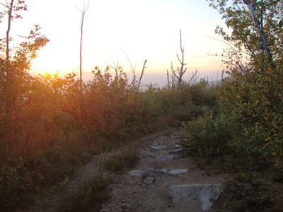
Looking down the Black Cap Connector
Route: Black Cap Trail, Black Cap Connector
In town on a hot evening, I headed up Hurricane Mountain Road to do a quick jog up to Black Cap.
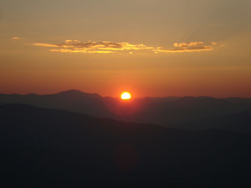
Heading up the Black Cap Connector, the early sunset rays were hitting the trees, making for great colors. After reaching the highpoint, I returned to the western viewpoint just in time for the sunset.
After watching the sunset, I had just enough light remaining to comfortably jog back to the trailhead before dark.
| Hike Ratings |
|
Getting To Trailhead: |
Easy |
| Destination: |
Black Cap |
|
Length: |
Easy |
|
Steepness: |
Easy |
|
Navigation: |
Easy |
|
Views: |
Excellent |
|
Crowds: |
Minimal |
|
| Hike Stats |
|
Date Hiked: |
Tuesday, August 31, 2010 |
| Hike Commenced: |
6:53 PM |
| Parking Elevation: |
1,705' |
| Destination: |
Black Cap |
| Ascent Commenced: |
6:53 PM |
| Summit Reached: |
6:10 PM |
| Time Elapsed: |
00:17 |
| Trailhead Elevation: |
1,705' |
| Summit Elevation: |
2,369' |
| Distance: |
1.3 miles |
| Vertical Gain: |
689' |
|
|
| Hike Ended: |
7:32 PM |
| Hike Time Elapsed: |
00:39 |
| Hike Distance: |
2.6 miles |
| Hike Vertical Gain: |
754' |
|
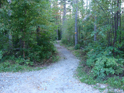
Black Cap Trail trailhead
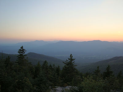
Looking at Mt. Chocorua and the Moats from Black Cap
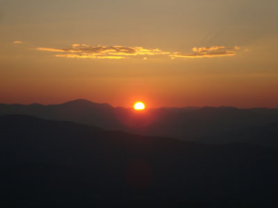
The sunset as seen from Black Cap
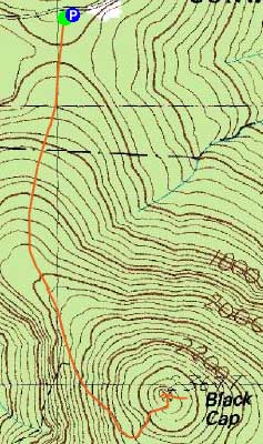

Directions to trailhead: Take Route 16 North from North Conway. Take a right onto Hurricane Mountain Road. Go past the Kearsarge North Trail trailhead, past the gate, and to the top of the mountain. Parking area and trailhead are on the right.
Back to Black Cap Profile
|