Home
States
Colorado
Connecticut
Maine
Massachusetts
New Hampshire
New York
Rhode Island
Utah
Vermont
View All
Lists
NE 4,000 Footers
NE 100 Highest
NH 4,000 Footers
NH 100 Highest
NH 52 With A View
NH Belknap Range
NH Ossipee 10
Links
Trail Conditions
Trip Log
Sunrises
Sunsets
About
|
Black Mountain
Haverhill, NH, Benton, NH
Trailheads, measurements, times, distances, and maps are all approximate and relative to the hike(s) as shown below.
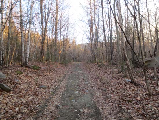
The lower Black Mountain Trail
Route: Black Mountain Trail
Black Mountain in Benton.
Trail was mostly dry and in good shape. Some minor black ice in a few places. One area of blue ice a few tenths below the summit, but easily bypassed. No need for traction until the next precip event. Slight dusting of snow up high.
For White Mountain standards, this trail has quite good footing virtually the whole way.
| Hike Ratings |
|
Getting To Trailhead: |
Easy |
| Destination: |
Black Mountain |
|
Length: |
Moderate |
|
Steepness: |
Moderate |
|
Navigation: |
Easy |
|
Views: |
Excellent |
|
Crowds: |
Minimal |
|
| Hike Stats |
|
Date Hiked: |
Wednesday, December 12, 2012 |
| Parking Elevation: |
1,560' |
| Destination: |
Black Mountain |
| Time Elapsed: |
00:32 |
| Trailhead Elevation: |
1,560' |
| Summit Elevation: |
2,830' |
| Distance: |
2.4 miles |
| Vertical Gain: |
1,604' |
|
|
| Hike Time Elapsed: |
01:25 |
| Hike Vertical Gain: |
1,649' |
|
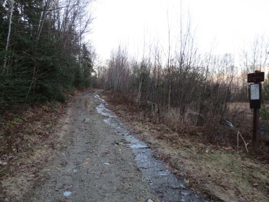
The Black Mountain Trail trailhead
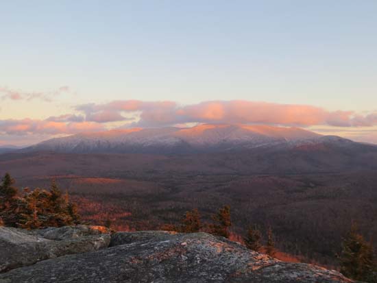
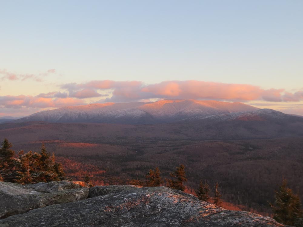
Looking at Mt. Moosilauke from the Black Mountain summit ledges
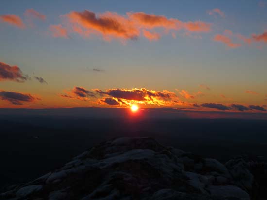
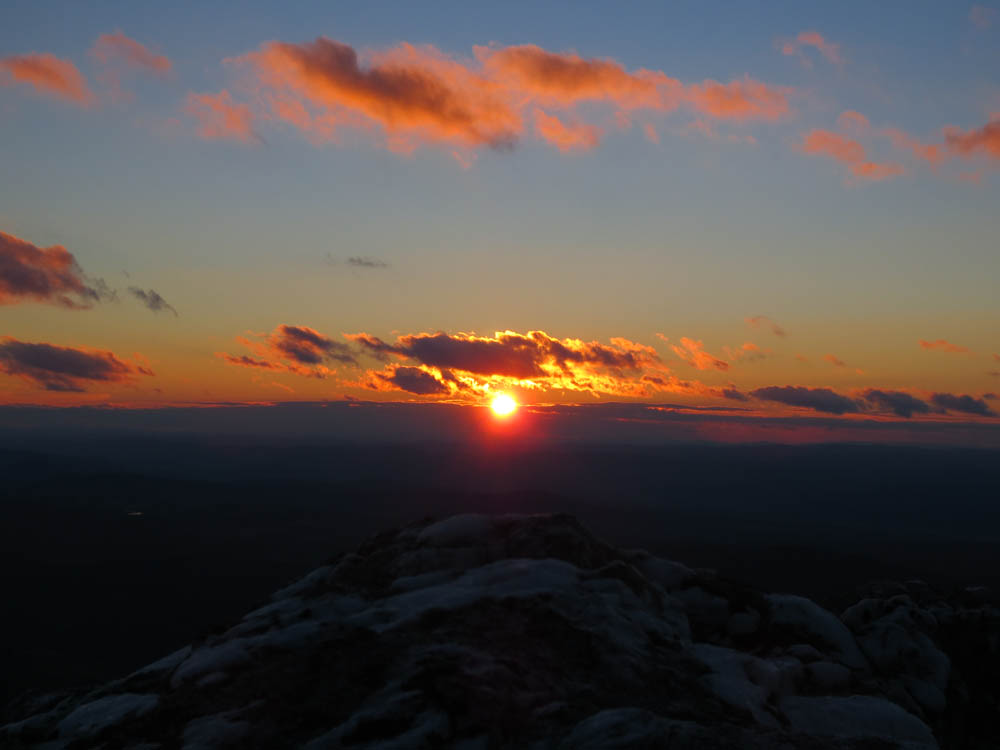
The sunset as seen from the Black Mountain summit ledges
Directions to trailhead: From Route 116 in Benton, take Howe Hill Road south. The Black Mountain Trail trailhead and parking area are located just beyond the last house on the road.
Back to Black Mountain Profile
|