Home
States
Colorado
Connecticut
Maine
Massachusetts
New Hampshire
New York
Rhode Island
Utah
Vermont
View All
Lists
NE 4,000 Footers
NE 100 Highest
NH 4,000 Footers
NH 100 Highest
NH 52 With A View
NH Belknap Range
NH Ossipee 10
Links
Trail Conditions
Trip Log
Sunrises
Sunsets
About
|
Black Mountain
Haverhill, NH, Benton, NH
Trailheads, measurements, times, distances, and maps are all approximate and relative to the hike(s) as shown below.
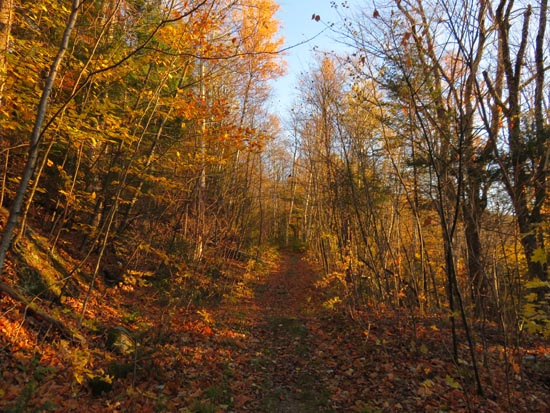
The Black Mountain Trail
Route: Black Mountain Trail
Trail was generally dry with some damp and minor muddy areas. No snow or ice encountered on trail this evening. Though the majority of leaves are now down, there are still some late fall foliage colors along the first half or so of the trail.
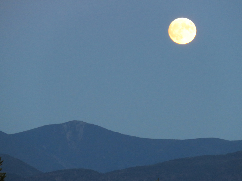
Nice sunset and moonrise (over Mt. Flume).
| Hike Ratings |
|
Getting To Trailhead: |
Easy |
| Destination: |
Black Mountain |
|
Length: |
Moderate |
|
Steepness: |
Moderate |
|
Navigation: |
Easy |
|
Views: |
Excellent |
|
Crowds: |
Minimal |
|
| Hike Stats |
|
Date Hiked: |
Monday, October 26, 2015 |
| Parking Elevation: |
1,560' |
| Destination: |
Black Mountain |
| Time Elapsed: |
00:33 |
| Trailhead Elevation: |
1,560' |
| Summit Elevation: |
2,830' |
| Distance: |
2.4 miles |
| Vertical Gain: |
1,604' |
|
|
| Hike Time Elapsed: |
01:31 |
| Hike Vertical Gain: |
1,649' |
|
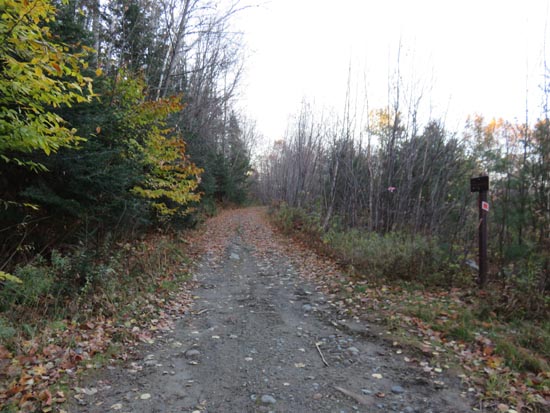
The Black Mountain Trail trailhead
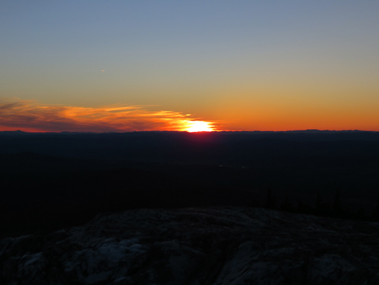
The sunset as seen from the Black Mountain ledges

The moonrise as seen from the Black Mountain ledges
Directions to trailhead: From Route 116 in Benton, take Howe Hill Road south. The Black Mountain Trail trailhead and parking area are located just beyond the last house on the road.
Back to Black Mountain Profile
|