Home
States
Colorado
Connecticut
Maine
Massachusetts
New Hampshire
New York
Rhode Island
Utah
Vermont
View All
Lists
NE 4,000 Footers
NE 100 Highest
NH 4,000 Footers
NH 100 Highest
NH 52 With A View
NH Belknap Range
NH Ossipee 10
Links
Trail Conditions
Trip Log
Sunrises
Sunsets
About
|
Black Mountain (Northwest Peak)
Wentworths Location, NH
Trailheads, measurements, times, distances, and maps are all approximate and relative to the hike(s) as shown below.
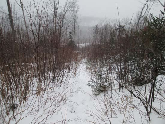
Looking down a logging cut on the way up Black Mountain
Route: Logging roads, bushwhacks
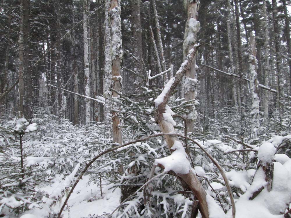
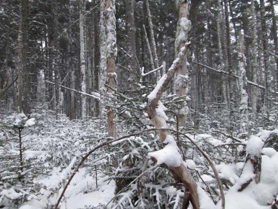
Approached from the northwest, initially in a somewhat recently logged area. Above the cuts, so so woods up to the ridge, then some areas of moose path and other areas of blowdown. Some random survey tape near the false summit. Continued to the highpoint area, which was sprucy. Watched a tree fall down near us during a particularly large wind gust. Eventually found the recognized highpoint (walked past it, as it didn't seem to be the highest point) sort of the northwest side of the summit, but seemed like something was +/-5 feet higher a little further south. Retraced our steps back down. Bitter cold blowing snow throughout the hike. About 2-4" of snow in the woods.
| Hike Ratings |
|
Getting To Trailhead: |
Difficult |
| Destination: |
Black Mountain (Northwest Peak) |
|
Length: |
Moderate |
|
Steepness: |
Moderate |
|
Navigation: |
Difficult |
|
Views: |
Minimal |
|
Crowds: |
Minimal |
|
| Hike Stats |
|
Date Hiked: |
Sunday, November 24, 2013 |
| Parking Elevation: |
2,270' |
| Destination: |
Black Mountain (Northwest Peak) |
| Time Elapsed: |
01:11 |
| Trailhead Elevation: |
2,270' |
| Summit Elevation: |
2,944' |
| Vertical Gain: |
714' |
|
|
| Hike Time Elapsed: |
02:03 |
| Hike Vertical Gain: |
754' |
|

Stepping off the logging road
A lack of views on Black Mountain's Northwest Peak
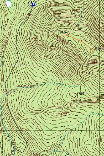

Directions to trailhead: From Errol, take route 26 northwest, then take a right onto Corser Brook Road (Greenoogh Pond Road). Take a right onto a road that heads downhill and crosses Corser Brook, then bear left and climb uphill, eventually curving around the northwest peak of Black Mountain.
Back to Black Mountain (Northwest Peak) Profile
|