Home
States
Colorado
Connecticut
Maine
Massachusetts
New Hampshire
New York
Rhode Island
Utah
Vermont
View All
Lists
NE 4,000 Footers
NE 100 Highest
NH 4,000 Footers
NH 100 Highest
NH 52 With A View
NH Belknap Range
NH Ossipee 10
Links
Trail Conditions
Trip Log
Sunrises
Sunsets
About
|
Bog Mountain
Wilmot, NH
Trailheads, measurements, times, distances, and maps are all approximate and relative to the hike(s) as shown below.

The Bog Mountain Trail
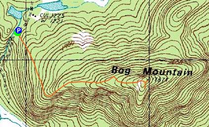
Route: Bog Mountain Trail
After having heard about Bog Mountain on NewEnglandTrailConditions.com, I decided to check it out for a sunset jog. Starting at Stearns Road, I jogged up the generally tame trail. Reaching some ledges partway up, I had decent views of nearby Kearsarge North.
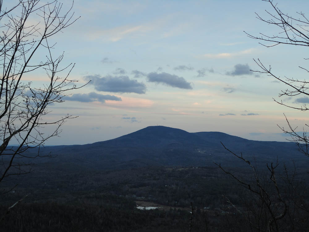
Nearing the summit, I arrived at a very nice ledge vista (reminding me of Peary Mountain in Maine), from where I had a good look west and south - the obvious place for the sunset portion of the hike.
Just beyond this ledgy area, I went left off the trail (where it started to dip down) and followed a short, faint herd path to the highpoint, from where I had obstructed views east.
Back on the ledges, I followed a spur path down to an overlook of Kearsarge. Though nice, I preferred the more open ledges back on the trail.
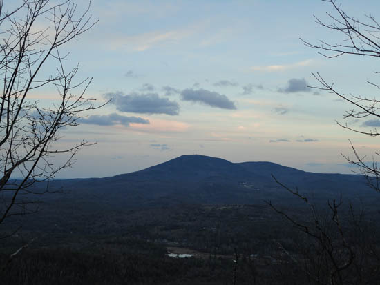
Initially the sunset looked to be either subpar or non existent, however the movement of the sun and clouds both worked out, allowing for a nice display. At one point, I thought I heard some other hikers walking around nearby. As the noise drew closer, I realized that in fact it was a herd of deer. Unfortunately, they heard me trying to switch modes on my camera when they were only feet away from nearly walking into me.
After the best of the colors subsided, I jogged back down the trail and made it out just before needing to use a headlamp.
| Hike Ratings |
|
Getting To Trailhead: |
Easy |
| Destination: |
Bog Mountain |
|
Length: |
Moderate |
|
Steepness: |
Moderate |
|
Navigation: |
Easy |
|
Views: |
Excellent |
|
Crowds: |
Minimal |
|
| Hike Stats |
|
Date Hiked: |
Thursday, November 18, 2010 |
| Hike Commenced: |
3:48 PM |
| Parking Elevation: |
1,210' |
| Destination: |
Bog Mountain |
| Ascent Commenced: |
3:49 PM |
| Summit Reached: |
4:07 PM |
| Time Elapsed: |
00:18 |
| Trailhead Elevation: |
1,205' |
| Summit Elevation: |
1,787' |
| Distance: |
1.1 miles |
| Vertical Gain: |
602' |
|
|
| Hike Ended: |
4:44 PM |
| Hike Time Elapsed: |
00:56 |
| Hike Vertical Gain: |
637' |
|
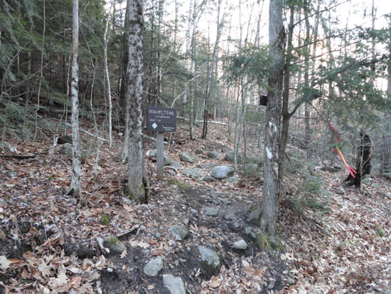
The Bog Mountain Trail trailhead on Stearns Road
Mt. Kearsarge as seen from the overlook on Bog Mountain

The sunset as seen from the Bog Mountain ledges

Directions to trailhead: From Wilmot, take Route 4A northwest, then take a right onto Stearns Road. Shortly after passing a boggy area, the Bog Mountain Trail trailhead will be on the right. There is a small pull off for parking on the left, just uphill from the trailhead.
Back to Bog Mountain Profile
|