Home
States
Colorado
Connecticut
Maine
Massachusetts
New Hampshire
New York
Rhode Island
Utah
Vermont
View All
Lists
NE 4,000 Footers
NE 100 Highest
NH 4,000 Footers
NH 100 Highest
NH 52 With A View
NH Belknap Range
NH Ossipee 10
Links
Trail Conditions
Trip Log
Sunrises
Sunsets
About
|
Bondcliff, Mt. Bond, Mt. Bond (West Peak), Mt. Guyot, Zealand Mountain
Lincoln, NH, Bethlehem, NH, Livermore, NH
Trailheads, measurements, times, distances, and maps are all approximate and relative to the hike(s) as shown below.
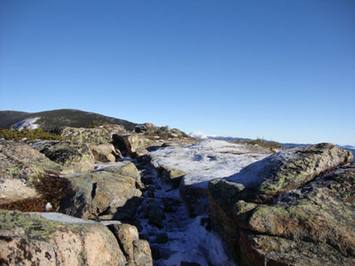
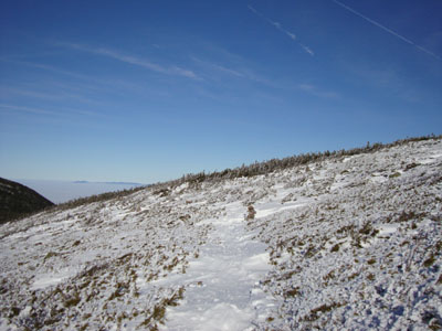
Looking up the Bondcliff Trail near the summit of Bondcliff
Route: Lincoln Woods Trail, Wilderness Trail, Bondcliff Trail, (Bondcliff), Bondcliff Trail, (Mt. Bond), Bondcliff Trail, West Bond Trail, (West Bond), West Bond Trail, Bondcliff Trail, Twinway, (Mt. Guyot), Twinway, spur trail, (Zealand Mountain), spur trail, Twinway, Zealand Trail, Zealand Road,
Though it happened to be Christmas Day, it was nonetheless an opportunity to grab the Bonds in relatively nice weather in December. While most other folks were sane enough to stay home and open presents, we decided to do the longest standard 4K hike in the Whites on one of the shortest days of the year.
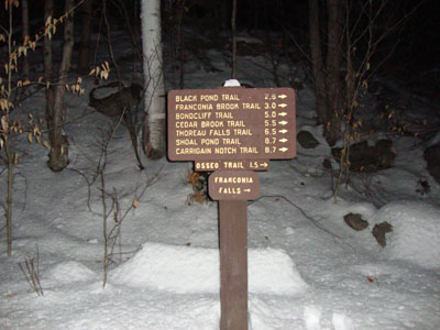
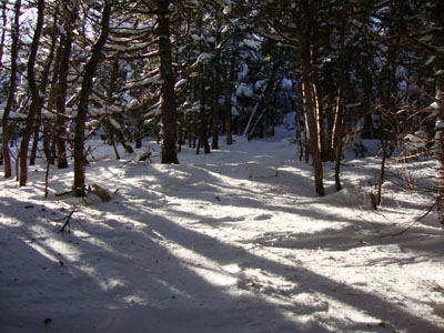
After spotting a vehicle at the winter Zealand lot, we headed down to Lincoln Woods. Though still dark, we were able to set foot on the Lincoln Woods Trail without needing headlamps. By the time we reached the Osseo Trail junction, daylight was breaking.
Reaching the Bondcliff Trail in an hour and twenty eight minutes, we took a break to prepare for the fairly gradual ascent up the Bondcliff. The water crossings were frozen over, with the exception of the second. The trail was fortunatley well packed. The temperature and winds were both mild, resulting in comfortable travel in shirts.
Nearing treeline, I was surprised and pleased to be experiencing my second undercast in as many days. Reaching the summit of Bondcliff, we had superb views in all directions above an undercast of about 3,000 feet.
As seems to be the case, the Bondcliff Trail was mostly snow-free. Nearing treeline, we switched back over to snowshoes for the climb to Bond. Reaching that summit, we once again had superb undercast views - a great place for lunch.
After dropping our packs at the West Bond Spur junction, we broke out the trail (drifted in) and yet again had great views on West Bond - the forecasted storm was slowly starting to approach from the south, though.
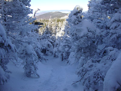
The ascent up the southern peak of Mt. Guyot was pretty slow, as we had to deal with sticky snow balling up on our snowshoes. After enjoying our last summit view of the day, we descended on the Twinway and then reascended, once again on sticky snow, to Zealand Mountain.
Since we wanted to be done sooner rather than later, we opted to skip the standard hut stop and instead went virtually nonestop down the Zealand Trail to Zealand Road. From there, it was a long, monotonous walk out. The sun finally set, requiring us to put on jackets for the first time in about 9 hours. Nonetheless, we were able to make it back to the parking lot without needing headlamps. A December winter Bonds traverse without headlamps - nice!
| Hike Ratings |
|
Getting To Trailhead: |
Easy |
| Destination: |
Bondcliff |
|
Length: |
Very Difficult |
|
Steepness: |
Difficult |
|
Navigation: |
Easy |
|
Views: |
Excellent |
|
Crowds: |
Minimal |
| Destination: |
Mt. Bond |
|
Length: |
Very Difficult |
|
Steepness: |
Difficult |
|
Navigation: |
Easy |
|
Views: |
Excellent |
|
Crowds: |
Minimal |
| Destination: |
Mt. Bond (West Peak) |
|
Length: |
Very Difficult |
|
Steepness: |
Difficult |
|
Navigation: |
Easy |
|
Views: |
Excellent |
|
Crowds: |
Minimal |
| Destination: |
Mt. Guyot |
|
Length: |
Very Difficult |
|
Steepness: |
Difficult |
|
Navigation: |
Easy |
|
Views: |
Excellent |
|
Crowds: |
Minimal |
| Destination: |
Zealand Mountain |
|
Length: |
Very Difficult |
|
Steepness: |
Difficult |
|
Navigation: |
Easy |
|
Views: |
Minimal |
|
Crowds: |
Minimal |
|
| Hike Stats |
|
Date Hiked: |
Friday, December 25, 2009 |
| Hike Commenced: |
6:25 AM |
| Parking Elevation: |
1,170' |
| Destination: |
Bondcliff |
| Ascent Commenced: |
6:28 AM |
| Summit Reached: |
10:13 AM |
| Time Elapsed: |
03:45 |
| Trailhead Elevation: |
1,170' |
| Summit Elevation: |
4,265' |
| Distance: |
9.1 miles |
| Vertical Gain: |
3,245' |
| Destination: |
Mt. Bond |
| Ascent Commenced: |
10:24 AM |
| Summit Reached: |
11:09 AM |
| Time Elapsed: |
00:45 |
| Trailhead Elevation: |
4,265' |
| Summit Elevation: |
4,698' |
| Distance: |
1.2 miles |
| Vertical Gain: |
718' |
| Destination: |
Mt. Bond (West Peak) |
| Ascent Commenced: |
11:26 AM |
| Summit Reached: |
11:53 AM |
| Time Elapsed: |
00:27 |
| Trailhead Elevation: |
4,698' |
| Summit Elevation: |
4,540' |
| Distance: |
1 mile |
| Vertical Gain: |
420' |
| Destination: |
Mt. Guyot |
| Ascent Commenced: |
11:59 AM |
| Summit Reached: |
12:47 PM |
| Time Elapsed: |
00:48 |
| Trailhead Elevation: |
4,540' |
| Summit Elevation: |
4,580' |
| Distance: |
1.3 miles |
| Vertical Gain: |
510' |
| Destination: |
Zealand Mountain |
| Ascent Commenced: |
12:50 PM |
| Summit Reached: |
1:27 PM |
| Time Elapsed: |
00:37 |
| Trailhead Elevation: |
1,170' |
| Summit Elevation: |
4,260' |
| Vertical Gain: |
320' |
|
|
| Hike Ended: |
5:01 PM |
| Hike Time Elapsed: |
10:36 |
| Hike Vertical Gain: |
5,313' |
|
The Lincoln Woods Trail trailhead

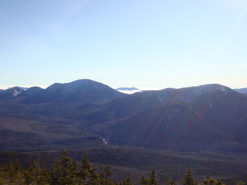
Looking at Mt. Carrigain, Mt. Chocorua, and the Hancocks from near the Bondcliff summit
Looking up the Bondcliff Trail on the way to Mt. Bond
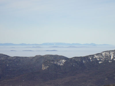
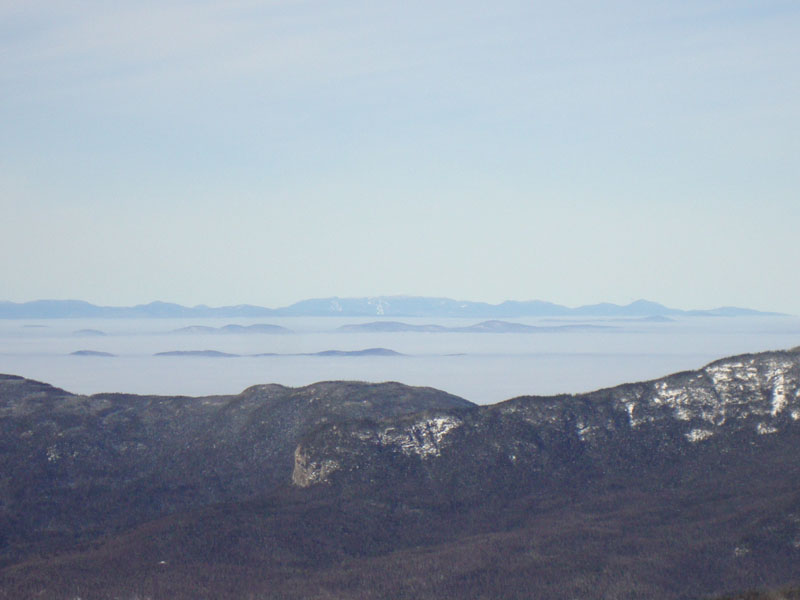
Looking over the Garfield Ridge at Mt. Mansfield from Mt. Bond
The drifted West Bond Spur

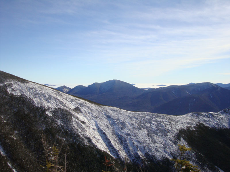
Looking at Mt. Carrigain from the West Bond summit
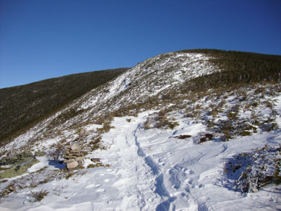
The Bondcliff Trail on the way to Mt. Guyot

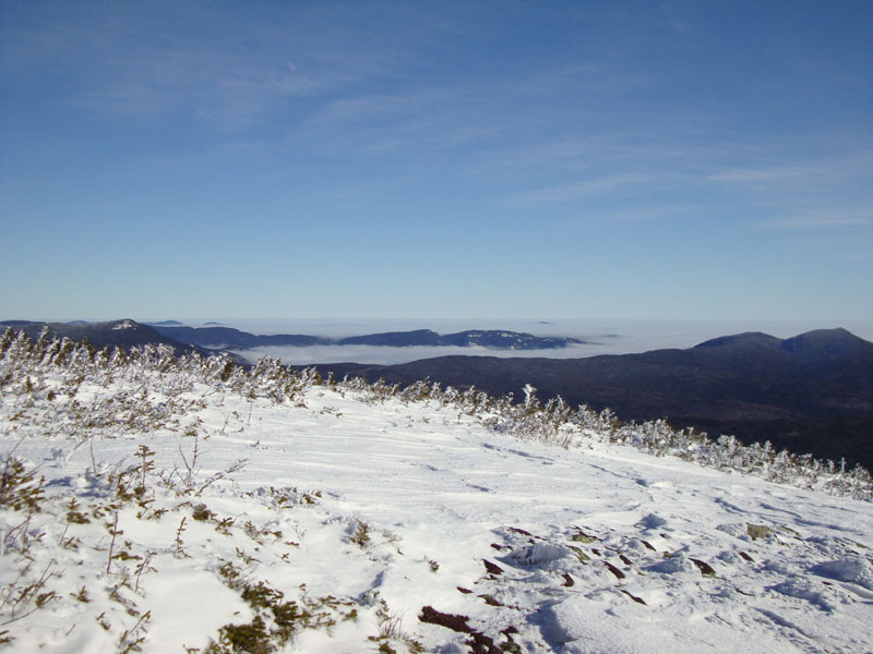
Looking at Stairs Mountain from Mt. Guyot
The Twinway on the way to Zealand Mountain
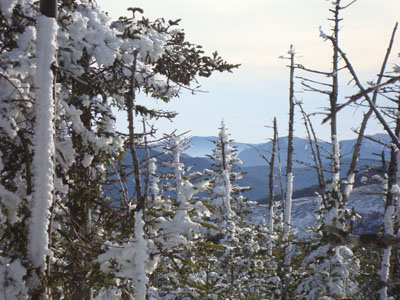
Sandwich Dome as seen through the trees near Zealand Mountain

Directions to trailhead: To get to Lincoln Woods, take Route 112 East from I-93 past Loon to the Lincoln Woods WMNF fee parking area (left side of road). To get to the Zealand parking area in winter (Zealand Road is closed), take US 302 west from Bartlett past Bretton Woods Ski Area. A few minutes after, the Zealand parking lot will be on the right. Zealand Road (gated) is on the left, around the corner.
Back to Bondcliff Profile
Back to Mt. Bond Profile
Back to Mt. Bond (West Peak) Profile
Back to Mt. Guyot Profile
Back to Zealand Mountain Profile
|