Home
States
Colorado
Connecticut
Maine
Massachusetts
New Hampshire
New York
Rhode Island
Utah
Vermont
View All
Lists
NE 4,000 Footers
NE 100 Highest
NH 4,000 Footers
NH 100 Highest
NH 52 With A View
NH Belknap Range
NH Ossipee 10
Links
Trail Conditions
Trip Log
Sunrises
Sunsets
About
|
Bondcliff, Mt. Bond, Mt. Bond (West Peak), Mt. Guyot, Zealand Mountain
Lincoln, NH, Bethlehem, NH, Livermore, NH
Trailheads, measurements, times, distances, and maps are all approximate and relative to the hike(s) as shown below.
Looking up the Bondcliff Trail
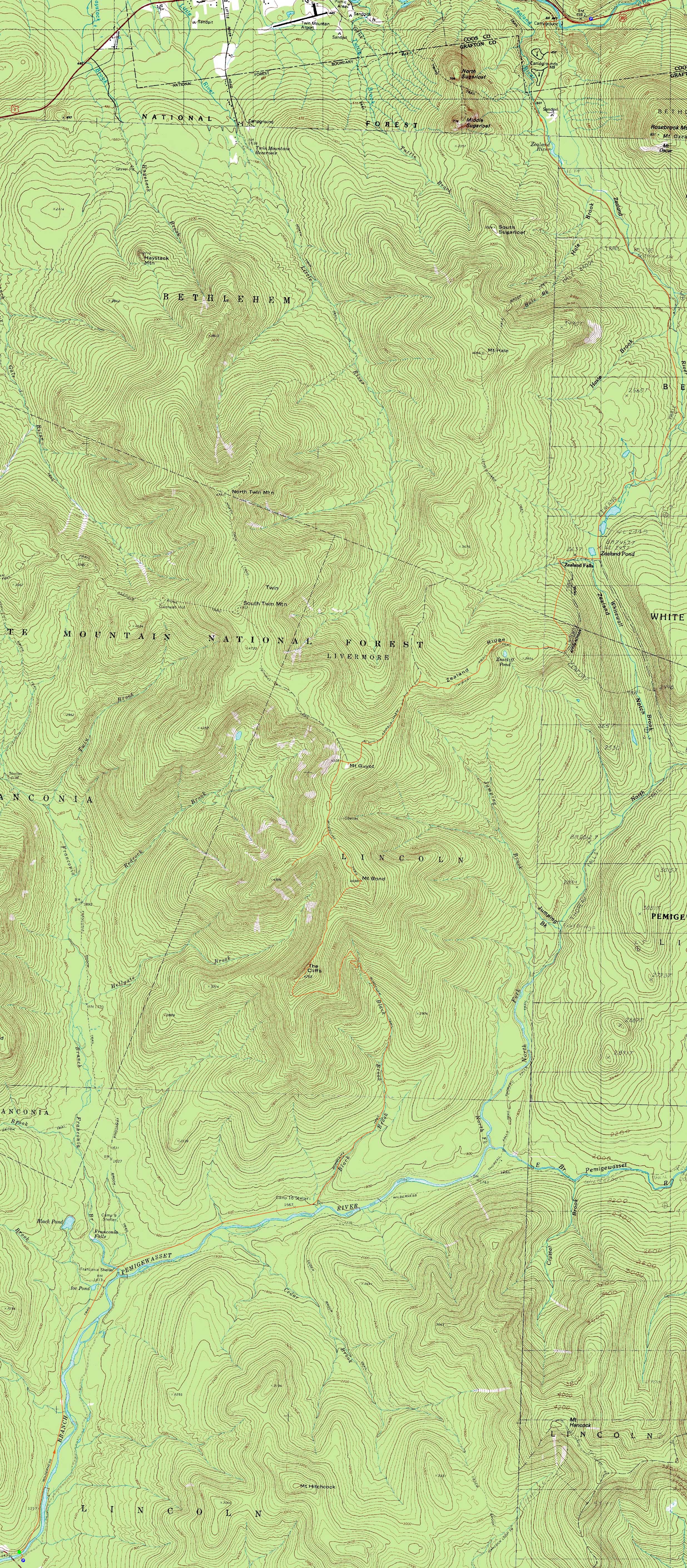
Route: Lincoln Woods Trail, Wilderness Trail, Bondcliff Trail, (Bondcliff), Bondcliff Trail, (Mt. Bond), Bondcliff Trail, West Bond Trail, (West Bond), West Bond Trail, Bondcliff Trail, Twinway, (Mt. Guyot), Twinway, spur trail, (Zealand Mountain), spur trail, Twinway, Zealand Trail, Zealand Road
With a few days of subpar weather moving it, it seemed like a good opportunity to get the Bonds.
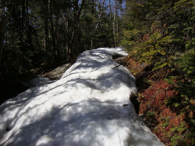
Starting at Lincoln Woods, we didn't hit snow until partway up the Bondcliff Trail. Thanks to the massive melting earlier in the month and subsequent cooler evening temperatures, the water crossings were managable. After the third crossing, we donned our snowshoes for the balance of the ascent to treeline.
Reaching treeline, we had a nice day on our hands - blue sky, mild temperatures, and a small breeze. After the usual photos, we booted across the bare ridge and back into the trees (with a good four feet of snow on the ground). Reaching Mt. Bond, we had lunch while enjoying the excellent views.
The next stop was West Bond. While about three feet of snow had melted, there was still quite a lot left - a good four to five feet, depending upon the location. The views from West Bond were strong as usual, though the south was starting to cloud up a bit.
Our snowshoes came off for the trip across the bare Guyot peaks, where we enjoyed our final excellent views of the day. Beyond there, the snowshoes went back on, as we pushed through a tough-to-follow Twinway (deep snow and lots of blowdowns) on the way to Zealand. Once again, a lot of snow had melted since March, however there was still plenty remaining.
The trail was even harder to follow between Zealand Mountain and the Zeacliff Pond junction, once again due to the deep snow and heavy blowdowns. Beyond there, we were able to stay on trail, remaining in snowshoes until the water crossing just above the hut.
After a brief hut break, we headed down to the Zealand Trail, pausing to watch a beaver swim around and chew on a stick. After that, it was a long walk out on Zealand Road. Nonetheless, we were able to make it back to the parking lot without needing headlamps.
| Hike Ratings |
|
Getting To Trailhead: |
Easy |
| Destination: |
Bondcliff |
|
Length: |
Very Difficult |
|
Steepness: |
Difficult |
|
Navigation: |
Easy |
|
Views: |
Excellent |
|
Crowds: |
Minimal |
| Destination: |
Mt. Bond |
|
Length: |
Very Difficult |
|
Steepness: |
Difficult |
|
Navigation: |
Difficult |
|
Views: |
Excellent |
|
Crowds: |
Minimal |
| Destination: |
Mt. Bond (West Peak) |
|
Length: |
Very Difficult |
|
Steepness: |
Difficult |
|
Navigation: |
Moderate |
|
Views: |
Excellent |
|
Crowds: |
Minimal |
| Destination: |
Mt. Guyot |
|
Length: |
Very Difficult |
|
Steepness: |
Difficult |
|
Navigation: |
Moderate |
|
Views: |
Excellent |
|
Crowds: |
Minimal |
| Destination: |
Zealand Mountain |
|
Length: |
Very Difficult |
|
Steepness: |
Difficult |
|
Navigation: |
Difficult |
|
Views: |
Moderate |
|
Crowds: |
Minimal |
|
| Hike Stats |
|
Date Hiked: |
Thursday, April 15, 2010 |
| Hike Commenced: |
7:46 AM |
| Parking Elevation: |
1,170' |
| Destination: |
Bondcliff |
| Ascent Commenced: |
7:49 AM |
| Summit Reached: |
12:11 PM |
| Time Elapsed: |
04:22 |
| Trailhead Elevation: |
1,170' |
| Summit Elevation: |
4,265' |
| Distance: |
9.1 miles |
| Vertical Gain: |
3,245' |
| Destination: |
Mt. Bond |
| Ascent Commenced: |
12:19 PM |
| Summit Reached: |
1:04 PM |
| Time Elapsed: |
00:45 |
| Trailhead Elevation: |
4,265' |
| Summit Elevation: |
4,698' |
| Distance: |
1.2 miles |
| Vertical Gain: |
718' |
| Destination: |
Mt. Bond (West Peak) |
| Ascent Commenced: |
1:33 PM |
| Summit Reached: |
2:05 PM |
| Time Elapsed: |
00:32 |
| Trailhead Elevation: |
4,698' |
| Summit Elevation: |
4,540' |
| Distance: |
1 mile |
| Vertical Gain: |
420' |
| Destination: |
Mt. Guyot |
| Ascent Commenced: |
2:16 PM |
| Summit Reached: |
3:02 PM |
| Time Elapsed: |
00:46 |
| Trailhead Elevation: |
4,540' |
| Summit Elevation: |
4,580' |
| Distance: |
1.3 miles |
| Vertical Gain: |
510' |
| Destination: |
Zealand Mountain |
| Ascent Commenced: |
3:08 PM |
| Summit Reached: |
3:52 PM |
| Time Elapsed: |
00:44 |
| Trailhead Elevation: |
1,170' |
| Summit Elevation: |
4,260' |
| Vertical Gain: |
320' |
|
|
| Hike Ended: |
8:07 PM |
| Hike Time Elapsed: |
12:21 |
| Hike Vertical Gain: |
5,373' |
|
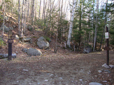
The Lincoln Woods Trail trailhead
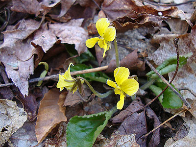
Yellow violets along the Wilderness Trail

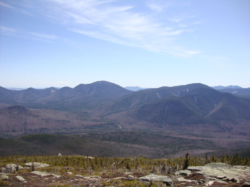
Looking at Mt. Carrigain and the Hancocks from near the Bondcliff summit
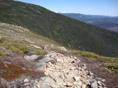
Looking up the Bondcliff Trail on the way to Mt. Bond

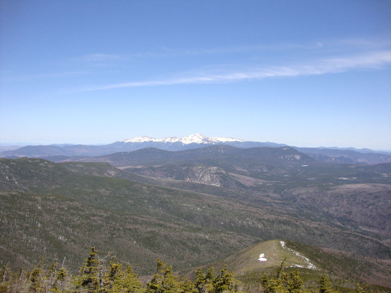
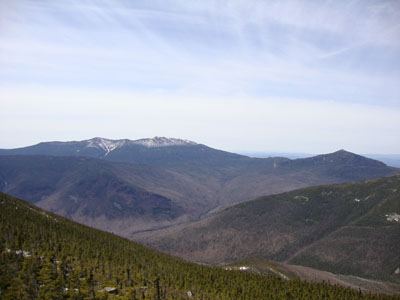
Looking at Mt. Washington from Mt. Bond
The Bondcliff Trail on the way to West Bond
The Franconias and Garfield as seen from West Bond
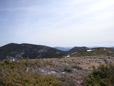
The Bondcliff Trail on the way to Mt. Guyot
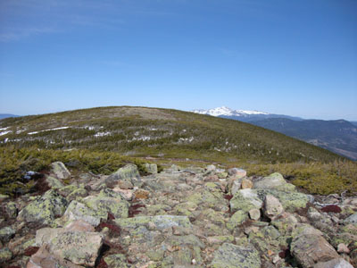
The Bonds as seen from Mt. Guyot
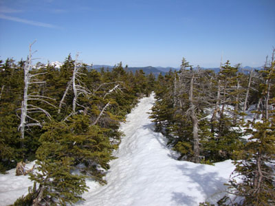
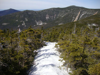
The Twinway on the way to Zealand Mountain

Mt. Hancock as seen from near the summit of Zealand Mountain
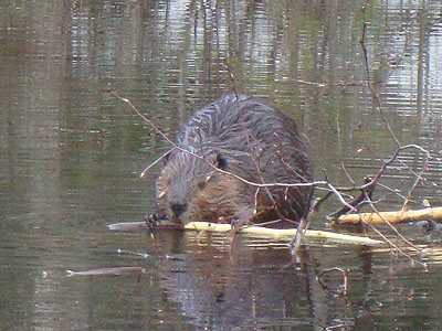
A beaver near the Zealand Trail

Directions to trailhead: To get to Lincoln Woods, take Route 112 East from I-93 past Loon to the Lincoln Woods WMNF fee parking area (left side of road). To get to the Zealand parking area in winter (Zealand Road is closed), take US 302 west from Bartlett past Bretton Woods Ski Area. A few minutes after, the Zealand parking lot will be on the right. Zealand Road (gated) is on the left, around the corner.
Back to Bondcliff Profile
Back to Mt. Bond Profile
Back to Mt. Bond (West Peak) Profile
Back to Mt. Guyot Profile
Back to Zealand Mountain Profile
|