Home
States
Colorado
Connecticut
Maine
Massachusetts
New Hampshire
New York
Rhode Island
Utah
Vermont
View All
Lists
NE 4,000 Footers
NE 100 Highest
NH 4,000 Footers
NH 100 Highest
NH 52 With A View
NH Belknap Range
NH Ossipee 10
Links
Trail Conditions
Trip Log
Sunrises
Sunsets
About
|
Bondcliff, Mt. Bond, Mt. Bond (West Peak), Mt. Guyot, Zealand Mountain
Lincoln, NH, Bethlehem, NH, Livermore, NH
Trailheads, measurements, times, distances, and maps are all approximate and relative to the hike(s) as shown below.
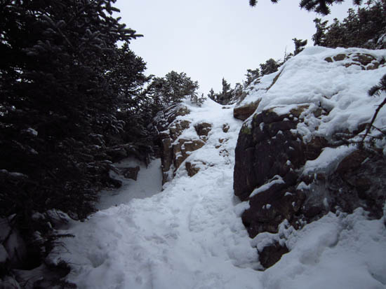
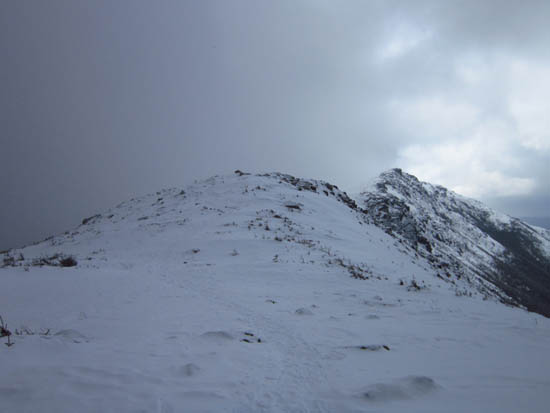
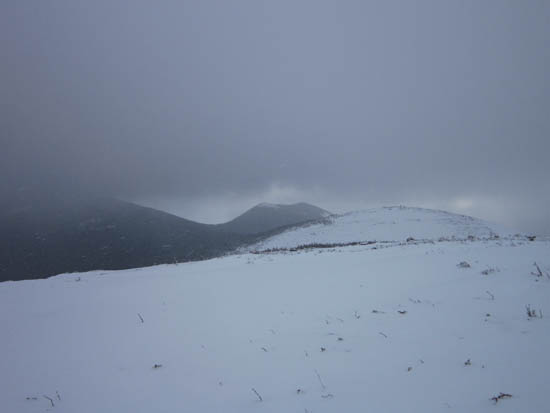
Looking up the Bondcliff Trail
Route: Lincoln Woods Trail, Wilderness Trail, Bondcliff Trail, (Bondcliff), Bondcliff Trail, (Mt. Bond), Bondcliff Trail, West Bond Trail, (West Bond), West Bond Trail, Bondcliff Trail, Twinway, (Mt. Guyot), Twinway, spur trail, (Zealand Mountain), spur trail, Twinway, Zealand Trail, Zealand Road
Not a great view day, but reasonable temperatures and good trail conditions. Not headlamps needed.
| Hike Ratings |
|
Getting To Trailhead: |
Easy |
| Destination: |
Bondcliff |
|
Length: |
Very Difficult |
|
Steepness: |
Difficult |
|
Navigation: |
Easy |
|
Views: |
Excellent |
|
Crowds: |
Moderate |
| Destination: |
Mt. Bond |
|
Length: |
Very Difficult |
|
Steepness: |
Difficult |
|
Navigation: |
Moderate |
|
Views: |
Excellent |
|
Crowds: |
Minimal |
| Destination: |
Mt. Bond (West Peak) |
|
Length: |
Very Difficult |
|
Steepness: |
Difficult |
|
Navigation: |
Easy |
|
Views: |
Excellent |
|
Crowds: |
Minimal |
| Destination: |
Mt. Guyot |
|
Length: |
Very Difficult |
|
Steepness: |
Difficult |
|
Navigation: |
Moderate |
|
Views: |
Excellent |
|
Crowds: |
Minimal |
| Destination: |
Zealand Mountain |
|
Length: |
Very Difficult |
|
Steepness: |
Difficult |
|
Navigation: |
Easy |
|
Views: |
Minimal |
|
Crowds: |
Minimal |
|
| Hike Stats |
|
Date Hiked: |
Saturday, February 11, 2012 |
| Parking Elevation: |
1,170' |
| Destination: |
Bondcliff |
| Time Elapsed: |
03:56 |
| Trailhead Elevation: |
1,170' |
| Summit Elevation: |
4,265' |
| Distance: |
9.1 miles |
| Vertical Gain: |
3,245' |
| Destination: |
Mt. Bond |
| Time Elapsed: |
00:29 |
| Trailhead Elevation: |
4,265' |
| Summit Elevation: |
4,698' |
| Distance: |
1.2 miles |
| Vertical Gain: |
718' |
| Destination: |
Mt. Bond (West Peak) |
| Time Elapsed: |
00:30 |
| Trailhead Elevation: |
4,698' |
| Summit Elevation: |
4,540' |
| Distance: |
1 mile |
| Vertical Gain: |
420' |
| Destination: |
Mt. Guyot |
| Time Elapsed: |
00:47 |
| Trailhead Elevation: |
4,540' |
| Summit Elevation: |
4,580' |
| Distance: |
1.3 miles |
| Vertical Gain: |
510' |
| Destination: |
Zealand Mountain |
| Time Elapsed: |
00:35 |
| Trailhead Elevation: |
1,170' |
| Summit Elevation: |
4,260' |
| Vertical Gain: |
320' |
|
|
| Hike Time Elapsed: |
10:37 |
| Hike Vertical Gain: |
5,373' |
|
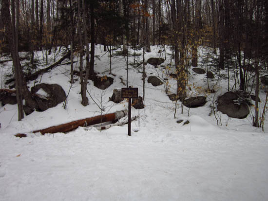
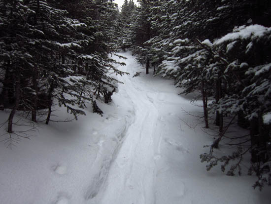
The Lincoln Woods Trail trailhead
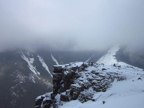
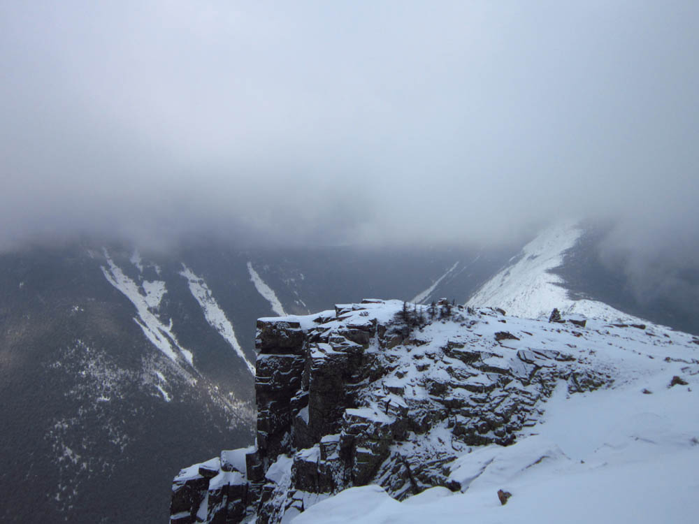
The Bondcliff cliffs
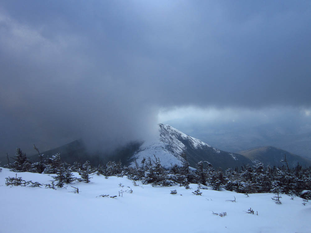
Looking back at Bondcliff on the way to Mt. Bond
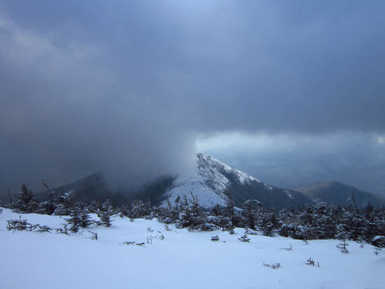
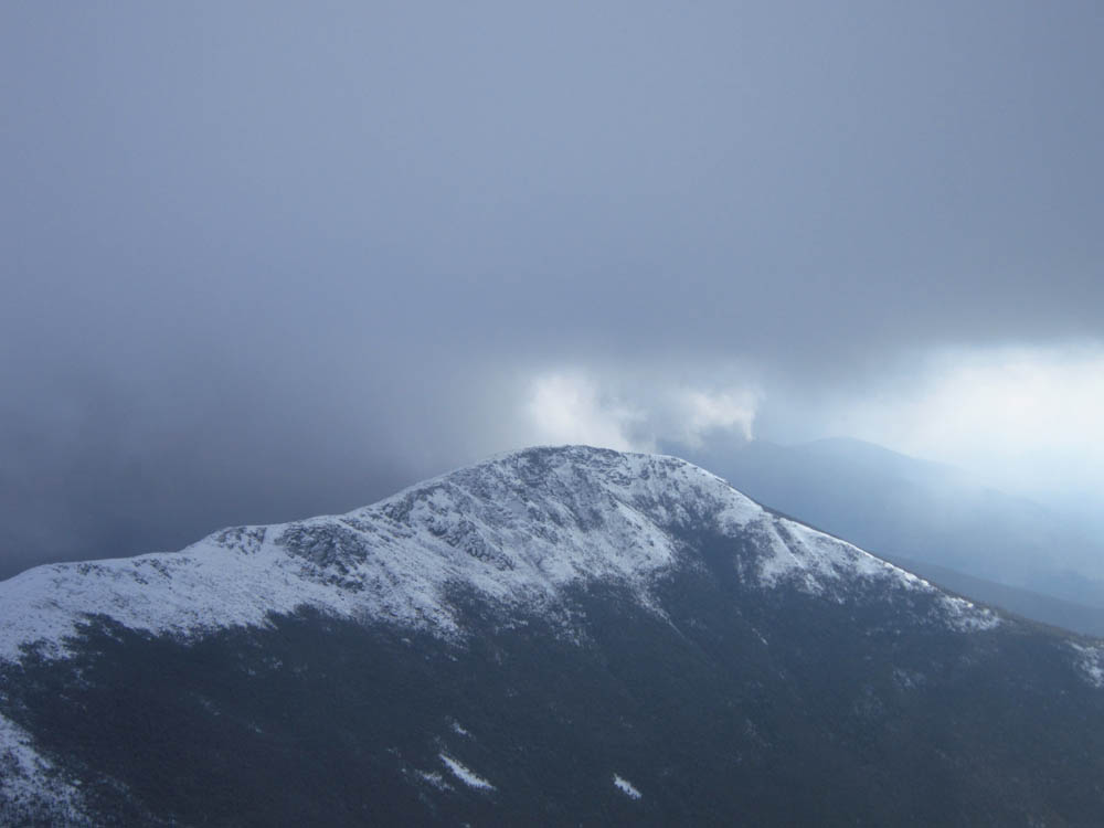
Looking at Bondcliff from Mt. Bond
The Bondcliff Trail on the way to West Bond

Bondcliff as seen from West Bond
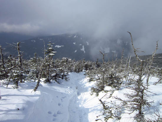
The Bondcliff Trail on the way to Mt. Guyot
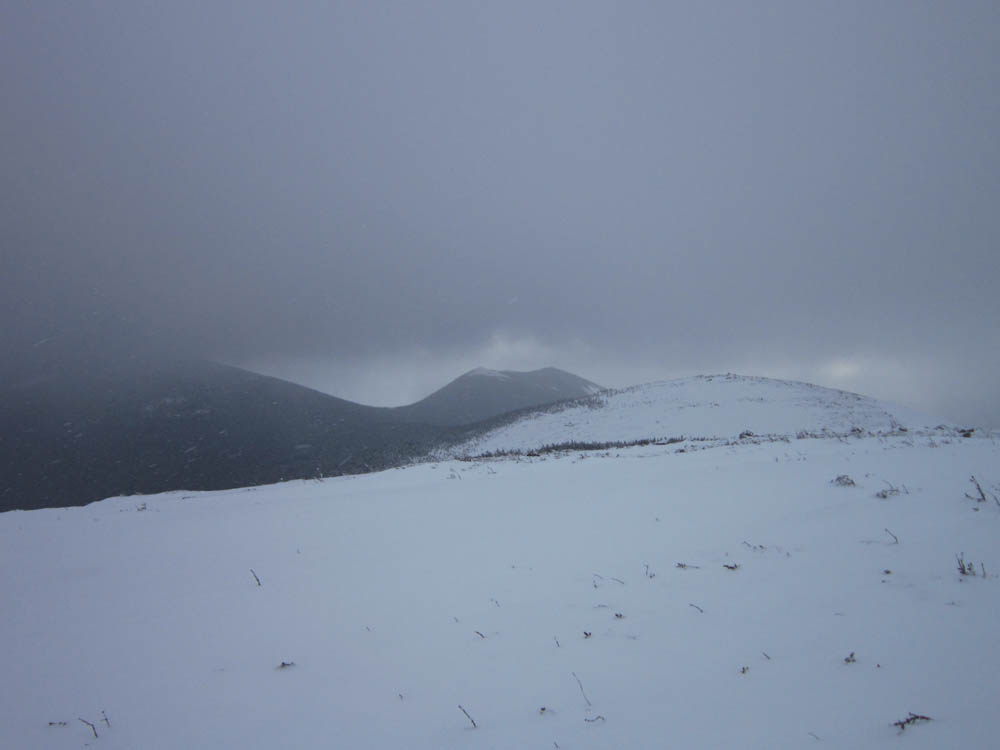
West Bond as seen from Mt. Guyot
The Twinway on the way to Zealand Mountain
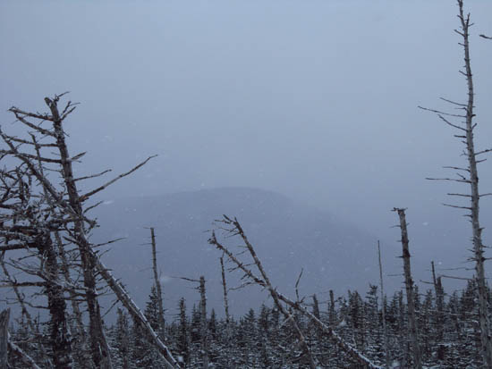
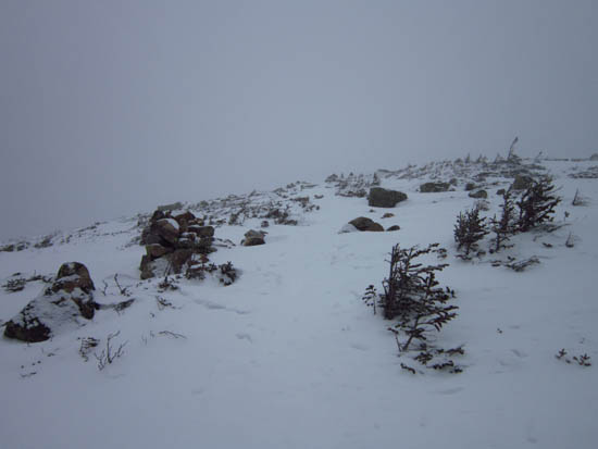
Slight views as seen from near the summit of Zealand Mountain

Directions to trailhead: To get to Lincoln Woods, take Route 112 East from I-93 past Loon to the Lincoln Woods WMNF fee parking area (left side of road). To get to the Zealand parking area in winter (Zealand Road is closed), take US 302 west from Bartlett past Bretton Woods Ski Area. A few minutes after, the Zealand parking lot will be on the right. Zealand Road (gated) is on the left, around the corner.
Back to Bondcliff Profile
Back to Mt. Bond Profile
Back to Mt. Bond (West Peak) Profile
Back to Mt. Guyot Profile
Back to Zealand Mountain Profile
|