Home
States
Colorado
Connecticut
Maine
Massachusetts
New Hampshire
New York
Rhode Island
Utah
Vermont
View All
Lists
NE 4,000 Footers
NE 100 Highest
NH 4,000 Footers
NH 100 Highest
NH 52 With A View
NH Belknap Range
NH Ossipee 10
Links
Trail Conditions
Trip Log
Sunrises
Sunsets
About
|
Cape Horn, Cape Horn - East Peak
Northumberland, NH
Trailheads, measurements, times, distances, and maps are all approximate and relative to the hike(s) as shown below.
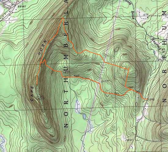
Bushwhack up Cape Horn
Route: Logging road, bushwhack, herd path
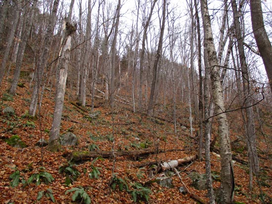
Took the gated logging road in a westerly direction, which ended roughly around where the USGS shows it ending. Followed an older roadbed west-northwest from there, then eventually bushwhacked in open woods up to the ridge via an opening in the ledges. Some slippery leaves, probably not a great way to descend at the moment.
We then went south on the ridge along a herd path/boundary marking to the south peak with occasional views along the way. We then doubled back and followed the herd path north to the recognized summit. Excellent views north/east/south from the ledges adjacent to the highpoint.
We then followed the herd path/boundary marking north for a ways as it made its way to the eastern shelf, which has been recently logged.
We then followed the logging road, occasional minor mud, which ran just north of the ridge heading to the East Peak.
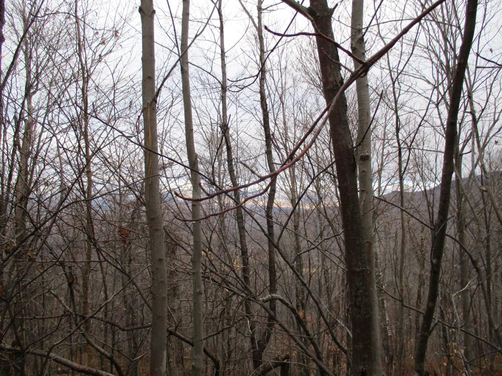
From the col, we bushwhacked in open woods to the highpoint of the East Peak, then descended back down to the logging around on its southern shoulder.
No snow or ice to deal with today, though it was snowing in Twin Mountain/Franconia Notch on the drive back. Fantastic ledge views from this peak. Would be nice to traverse it sometime.
| Hike Ratings |
|
Getting To Trailhead: |
Easy |
| Destination: |
Cape Horn |
|
Length: |
Moderate |
|
Steepness: |
Very Difficult |
|
Navigation: |
Difficult |
|
Views: |
Excellent |
|
Crowds: |
Minimal |
| Destination: |
Cape Horn - East Peak |
|
Length: |
Moderate |
|
Steepness: |
Difficult |
|
Navigation: |
Difficult |
|
Views: |
Minimal |
|
Crowds: |
Minimal |
|
| Hike Stats |
|
Date Hiked: |
Saturday, November 28, 2015 |
| Parking Elevation: |
1,395' |
| Destination: |
Cape Horn |
| Trailhead Elevation: |
1,395' |
| Summit Elevation: |
2,060' |
| Time Elapsed: |
01:55 |
| Vertical Gain: |
1,105' |
| Destination: |
Cape Horn - East Peak |
| Trailhead Elevation: |
2,060' |
| Summit Elevation: |
1,790' |
| Time Elapsed: |
01:09 |
| Vertical Gain: |
400' |
|
|
| Hike Time Elapsed: |
03:47 |
| Hike Vertical Gain: |
1,505' |
|
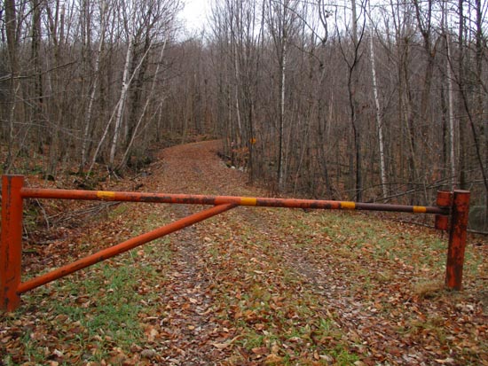
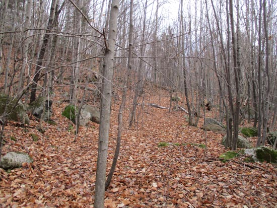
The start of the gated logging road
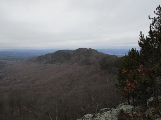
Looking down the ridge from near the summit of Cape Horn
An old road near the summit of the east peak
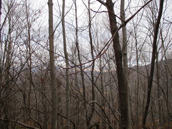
A lack of views on the east peak

Directions to trailhead: A gated road (4WD on USGS) departs just north of the height of land on Lost Nation Road.
Back to Cape Horn Profile
Back to Cape Horn - East Peak Profile
|