Home
States
Colorado
Connecticut
Maine
Massachusetts
New Hampshire
New York
Rhode Island
Utah
Vermont
View All
Lists
NE 4,000 Footers
NE 100 Highest
NH 4,000 Footers
NH 100 Highest
NH 52 With A View
NH Belknap Range
NH Ossipee 10
Links
Trail Conditions
Trip Log
Sunrises
Sunsets
About
|
The Captain
Livermore, NH
Trailheads, measurements, times, distances, and maps are all approximate and relative to the hike(s) as shown below.
The Sawyer River Trail
Route: Sawyer River Trail, Hancock Notch Trail, herd paths, woods road, bushwhack
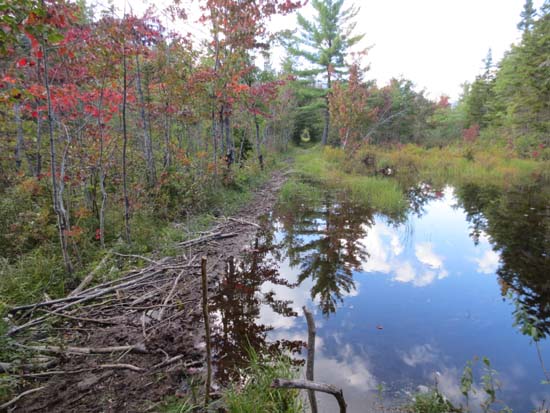
Sawyer River Trail was generally dry, except for a flooded section (could get by just barely by balancing on some sticks and mud, otherwise it'd be a few inches deep at least).
Short section of Hancock Notch Trail had some minor Irene damage in way of rocks and sand. As soon as Sawyer River neared, we hopped onto a herdpath, crossed, and continued on the herd path to the forest road.
Continued on the forest road and to subsequent herd paths, reaching multiple clearings (a few good looks at The Captain), with it eventually coinciding with a seasonal brook drainage (dry right now) and ending at a clearing with a fire ring and a rock seat.
Followed the brook for a little while, then took a branch of it up the slope, eventually leaving it and slabbing across toward the Captain for a few minutes, then finding a way up a cliff band, then past the infamous tent remains. Soon thereafter, reached the northeast col.
Some steep stuff above the col and occasional thickness, but nothing as bad as I had imagined. Found the recongized highpoint very easily and the boulder shortly thereafter. Attempted to find some ledges to sit on, but only found cliffs (probably could have searched farther southwest, but found a view and wanted to descend).
Found the tent remains again, sort of by accident, and descended direct from there into a smaller drainage, which joined the brook bed we had followed near a very old small bootleg campsite with evidence of brushing in the brook bed just before the two split.
The dry conditions helped a lot, as did the lack of bugs. By no means a cakewalk, but not nearly as bad as I had thought it would be.
| Hike Ratings |
|
Getting To Trailhead: |
Easy |
| Destination: |
Mt. Carrigain |
|
Length: |
Difficult |
|
Steepness: |
Very Difficult |
|
Navigation: |
Very Difficult |
|
Views: |
Excellent |
|
Crowds: |
Minimal |
|
| Hike Stats |
|
Date Hiked: |
Monday, September 3, 2012 |
| Parking Elevation: |
1,806' |
| Destination: |
The Captain |
| Time Elapsed: |
04:34 |
| Trailhead Elevation: |
1,806' |
| Summit Elevation: |
3,540' |
| Vertical Gain: |
1,950' |
|
|
| Hike Time Elapsed: |
09:08 |
| Hike Vertical Gain: |
2,306' |
|
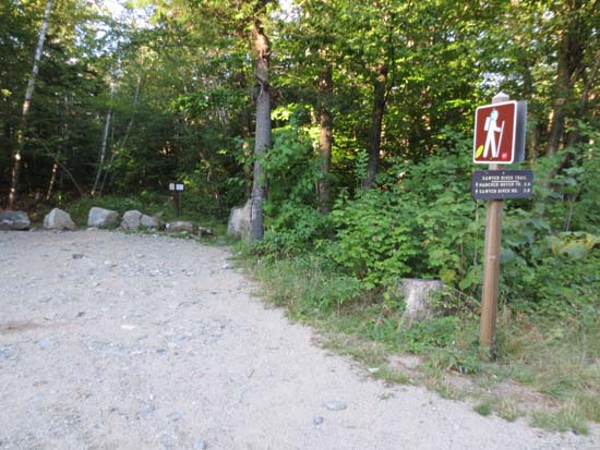
Signal Ridge Trail trailhead on Sawyer River Road
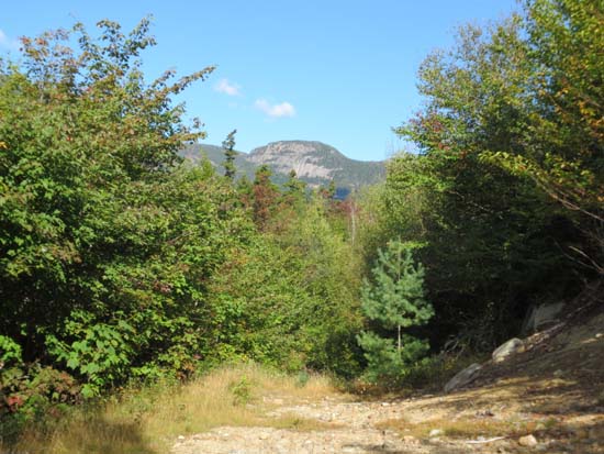
Looking at the Captain on the old logging road
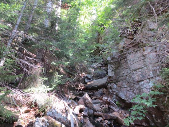
Rough terrain in the woods

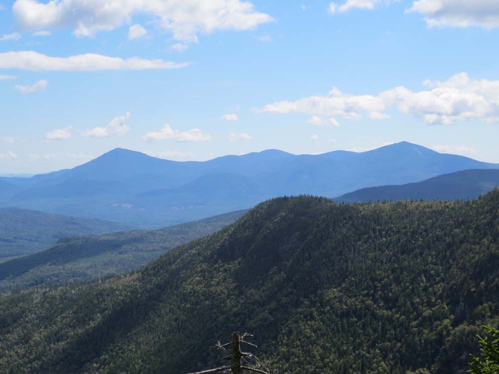
Looking at the Sandwich Range from near the top of The Captain
Directions to trailhead: Take Route 112 East from Lincoln. The Sawyer River Trail trailhead will be beyond Kancamagus Pass on the left, shortly after passing Lily Pond.
Back to The Captain Profile
|