Home
States
Colorado
Connecticut
Maine
Massachusetts
New Hampshire
New York
Rhode Island
Utah
Vermont
View All
Lists
NE 4,000 Footers
NE 100 Highest
NH 4,000 Footers
NH 100 Highest
NH 52 With A View
NH Belknap Range
NH Ossipee 10
Links
Trail Conditions
Trip Log
Sunrises
Sunsets
About
|
The Captain
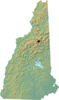
Livermore, NH
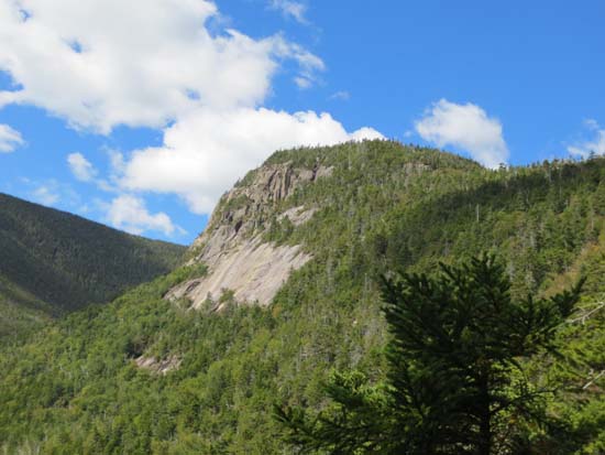
The Captain as seen from atop an unnamed brook gorge to the east
 Summary Summary
The Captain is a remote wooded peak located between the Hancocks and Mt. Carrigain that features dramatic cliffs.
Summit Elevation
3,540 feet
Summit Facilities
None.
Trip Reports:
Click on the date for photos, timestamps, and maps.
More Information
The Captain - NHMountainHiking.com
El Capitan - SummitPost - the peak's namesake in Yosemite
|
