Home
States
Colorado
Connecticut
Maine
Massachusetts
New Hampshire
New York
Rhode Island
Utah
Vermont
View All
Lists
NE 4,000 Footers
NE 100 Highest
NH 4,000 Footers
NH 100 Highest
NH 52 With A View
NH Belknap Range
NH Ossipee 10
Links
Trail Conditions
Trip Log
Sunrises
Sunsets
About
|
Carter Dome, South Carter Mountain, Middle Carter Mountain
Green's Grant, NH, Bean's Purchase, NH
Trailheads, measurements, times, distances, and maps are all approximate and relative to the hike(s) as shown below.
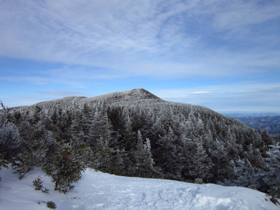
Looking up the Carter Dome Trail
Route: Nineteen Mile Brook Trail, Carter Dome Trail, (Carter Dome), Carter-Moriah Trail, (South Carter), Carter-Moriah Trail, (Middle Carter), Carter-Moriah Trail, North Carter Trail, Imp Trail
Broken out trail except from Zeta Pass to Carter Dome. Snowshoes all day.
| Hike Ratings |
|
Getting To Trailhead: |
Easy |
| Destination: |
Carter Dome |
|
Length: |
Moderate |
|
Steepness: |
Moderate |
|
Navigation: |
Easy |
|
Views: |
Excellent |
|
Crowds: |
Heavy |
| Destination: |
South Carter Mountain |
|
Length: |
Moderate |
|
Steepness: |
Difficult |
|
Navigation: |
Easy |
|
Views: |
Excellent |
|
Crowds: |
Moderate |
| Destination: |
Middle Carter Mountain |
|
Length: |
Moderate |
|
Steepness: |
Difficult |
|
Navigation: |
Easy |
|
Views: |
Excellent |
|
Crowds: |
Minimal |
|
| Hike Stats |
|
Date Hiked: |
Saturday, January 28, 2012 |
| Parking Elevation: |
1,485' |
| Destination: |
Carter Dome |
| Time Elapsed: |
03:06 |
| Trailhead Elevation: |
1,485' |
| Summit Elevation: |
4,832' |
| Vertical Gain: |
3,392' |
| Destination: |
South Carter Mountain |
| Time Elapsed: |
01:24 |
| Trailhead Elevation: |
4,832' |
| Summit Elevation: |
4,430' |
| Vertical Gain: |
945' |
| Destination: |
Middle Carter Mountain |
| Time Elapsed: |
00:45 |
| Trailhead Elevation: |
4,430' |
| Summit Elevation: |
4,610' |
| Vertical Gain: |
595' |
|
|
| Hike Time Elapsed: |
07:16 |
| Hike Vertical Gain: |
5,072' |
|
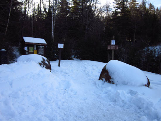
The Nineteen Mile Brook Trail trailhead on Route 16
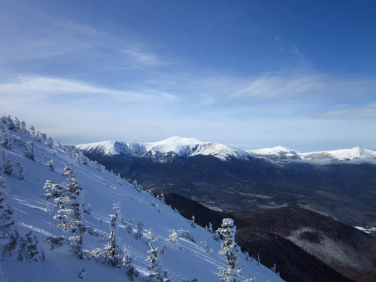
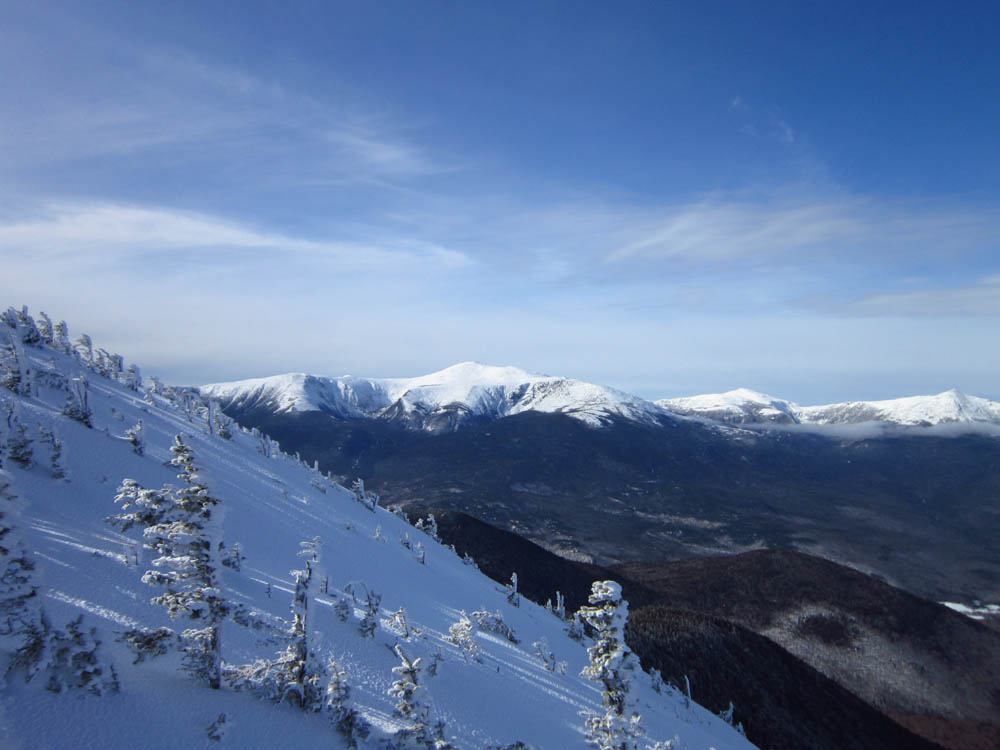
Looking at Mt. Washington from near the Carter Dome summit
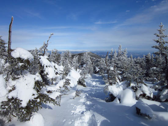
The Carter-Moriah Trail leaving Carter Dome
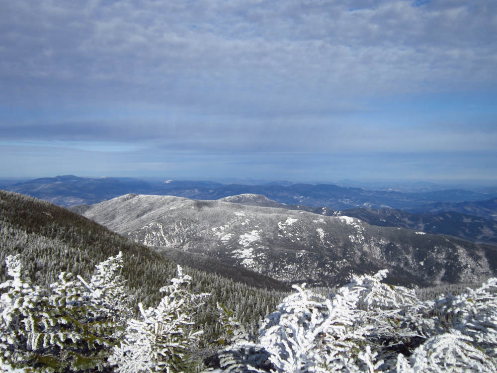
The Baldfaces as seen from the ledge near the summit of South Carter
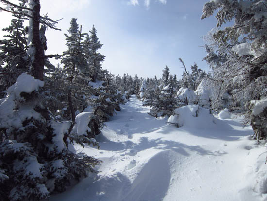
The Carter-Moriah Trail on the way to Middle Carter Mountain

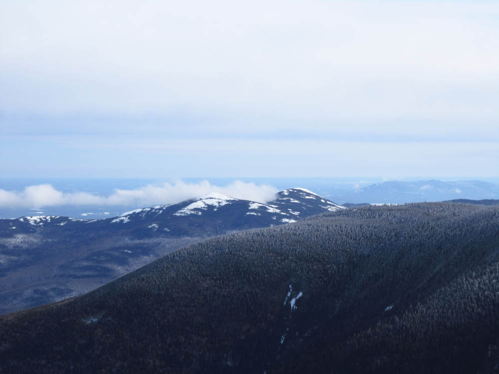
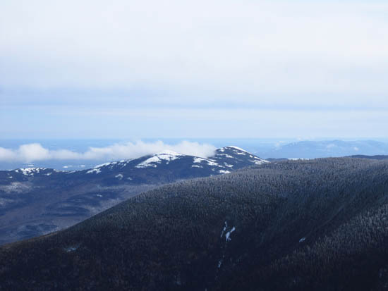
Moriah and Shelburne Moriah as seen from near the summit of Middle Carter
Back to Carter Dome Profile
Back to South Carter Mountain Profile
Back to Middle Carter Mountain Profile
|