Home
States
Colorado
Connecticut
Maine
Massachusetts
New Hampshire
New York
Rhode Island
Utah
Vermont
View All
Lists
NE 4,000 Footers
NE 100 Highest
NH 4,000 Footers
NH 100 Highest
NH 52 With A View
NH Belknap Range
NH Ossipee 10
Links
Trail Conditions
Trip Log
Sunrises
Sunsets
About
|
Carter Dome, South Carter, Middle Carter
Jackson, NH, Bean's Purchase, NH
Trailheads, measurements, times, distances, and maps are all approximate and relative to the hike(s) as shown below.
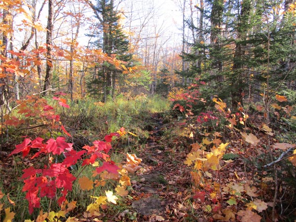
The Bog Brook Trail
Route: Bog Brook Trail, Rainbow Trail, (Carter Dome), Carter-Moriah Trail, (South Carter), Carter-Moriah Trail, (Middle Carter), Carter-Moriah Trail, North Carter Trail, Imp Trail, Camp Dodge Cutoff
Bog Brook Trail was damp/muddy this morning, with last night's storm making things a bit wet. Some decent fall foliage colors on this stretch, but otherwise I prefer taking the forest road to bypass the copious water crossings.
Rainbow Trail was generally dry with some wet areas in the spruce. Leaves are mostly down, but still some colors. The views from the subpeak of Carter Dome were particularly striking today. We encountered zero people on this trail.
The ridge had some slippery areas, including some frosty bog bridging, as well as some mud. Rime in the trees in places, but no snow/ice on the ground.
North Carter Trail was its usual sloppy self with running water, mud, and terrible erosion. Imp Trail was slippery up high and coated with leaves thereafter (still some nice foliage colors).
Blue skies, warm in the sun, crowds relatively light.
| Hike Ratings |
|
Getting To Trailhead: |
Easy |
| Destination: |
Carter Dome |
|
Length: |
Moderate |
|
Steepness: |
Moderate |
|
Navigation: |
Moderate |
|
Views: |
Excellent |
|
Crowds: |
Minimal |
| Destination: |
South Carter Mountain |
|
Length: |
Difficult |
|
Steepness: |
Difficult |
|
Navigation: |
Moderate |
|
Views: |
Excellent |
|
Crowds: |
Heavy |
| Destination: |
Middle Carter Mountain |
|
Length: |
Difficult |
|
Steepness: |
Difficult |
|
Navigation: |
Moderate |
|
Views: |
Excellent |
|
Crowds: |
Heavy |
|
| Hike Stats |
|
Date Hiked: |
Sunday, October 11, 2020 |
| Parking Elevation: |
1,810' |
| Destination: |
Carter Dome |
| Time Elapsed: |
03:45 |
| Trailhead Elevation: |
1,810' |
| Summit Elevation: |
4,832' |
| Distance: |
6 miles |
| Vertical Gain: |
3,346' |
| Destination: |
South Carter Mountain |
| Time Elapsed: |
01:10 |
| Trailhead Elevation: |
4,832' |
| Summit Elevation: |
4,430' |
| Vertical Gain: |
945' |
| Destination: |
Middle Carter Mountain |
| Time Elapsed: |
00:45 |
| Trailhead Elevation: |
4,430' |
| Summit Elevation: |
4,610' |
| Vertical Gain: |
595' |
|
|
| Hike Time Elapsed: |
8:21 |
| Hike Vertical Gain: |
4,986' |
|
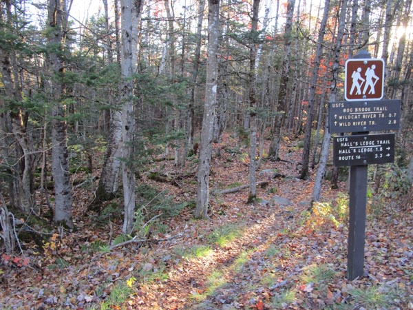
The Bog Brook Trail trailhead on Carter Notch Road
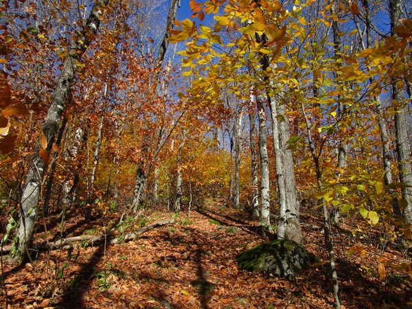
The Rainbow Trail on the way to Carter Dome
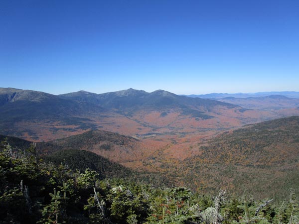
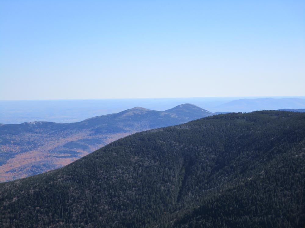
Looking at the Northern Presidentials from the Carter Dome viewpoint
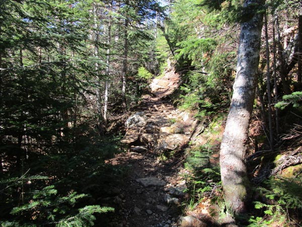
The Carter Moriah Trail
The Baldfaces as seen from South Carter
The Carter Moriah Trail

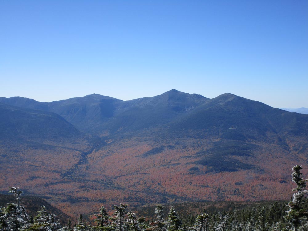
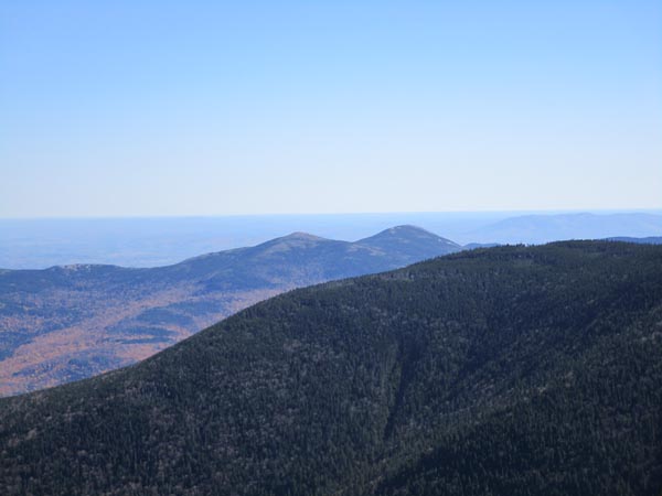
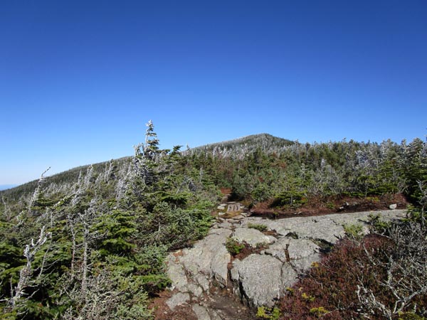
Looking at the Northern Presidentials from Middle Carter
Directions to trailhead: Take Route 16 North to Jackson, then take a right onto 16A. Take a left onto Carter Notch Road. In late spring, summer, and fall, the Bog Brook Trail trailhead can be reached by driving to near the end of this road. A small parking area is located at the trailhead, on the right side of the dirt road.
Back to Carter Dome Profile
Back to South Carter Profile
Back to Middle Carter Profile
|