Home
States
Colorado
Connecticut
Maine
Massachusetts
New Hampshire
New York
Rhode Island
Utah
Vermont
View All
Lists
NE 4,000 Footers
NE 100 Highest
NH 4,000 Footers
NH 100 Highest
NH 52 With A View
NH Belknap Range
NH Ossipee 10
Links
Trail Conditions
Trip Log
Sunrises
Sunsets
About
|
Cotton Mountain
Holderness, NH
Trailheads, measurements, times, distances, and maps are all approximate and relative to the hike(s) as shown below.
Looking down the Cotton Mountain Trail
Route: Cotton Mountain Trail
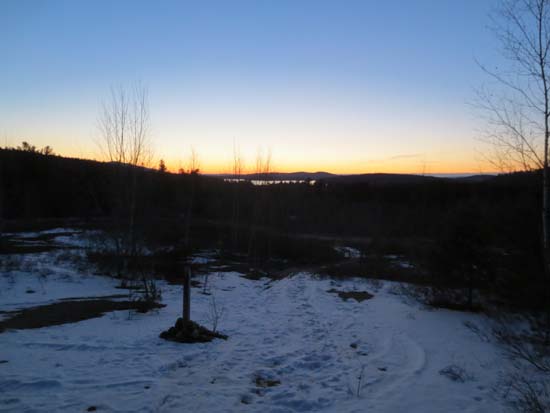
A balmy 9 degrees prior to sunrise. First portion of the trail has been used for logging at some point this winter. Basically a skating rink. Microspikes were adequate.
Some yahoo attempted to snowmobile the foot trail above the road section, but eventually realized he had run out of snow. Once you get into the woods above the logging roads, it's mostly bare with occasional short patches of frozen granular or blue ice.
| Hike Ratings |
|
Getting To Trailhead: |
Easy |
| Destination: |
Cotton Mountain |
|
Length: |
Easy |
|
Steepness: |
Difficult |
|
Navigation: |
Easy |
|
Views: |
Excellent |
|
Crowds: |
Minimal |
|
| Hike Stats |
|
Date Hiked: |
Tuesday, February 5, 2013 |
| Parking Elevation: |
590' |
| Destination: |
Cotton Mountain |
| Time Elapsed: |
00:17 |
| Trailhead Elevation: |
590' |
| Summit Elevation: |
1,200' |
| Distance: |
.7 mile |
| Vertical Gain: |
615' |
|
|
| Hike Time Elapsed: |
00:53 |
| Hike Distance: |
1.4 miles |
| Hike Vertical Gain: |
625' |
|
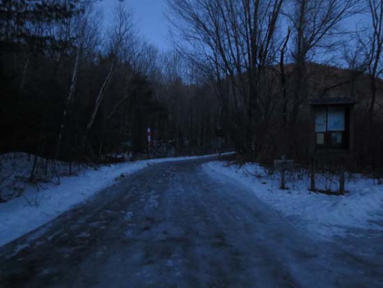
The Cotton Mountain Trail trailhead off Route 113
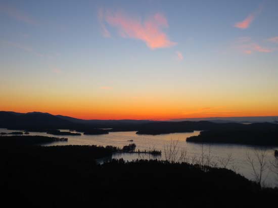
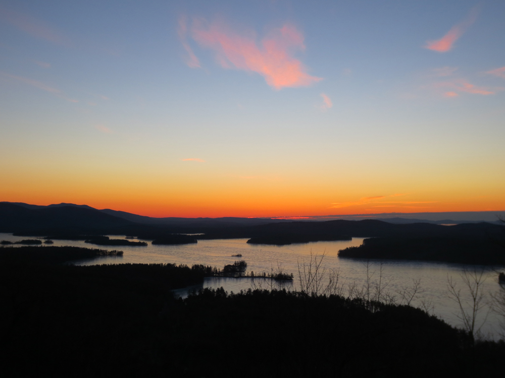
Sunrise from the viewpoint near the southeast peak of Cotton Mountain
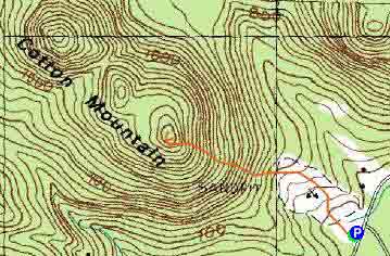

Directions to trailhead: From Route 25 in Holderness, take Route 113 East past the Squam Lakes Natural Science Center. The small roadside parking lot and Cotton Mountain Trail trailhead will be on the left shortly thereafter.
Back to Cotton Mountain Profile
|