Home
States
Colorado
Connecticut
Maine
Massachusetts
New Hampshire
New York
Rhode Island
Utah
Vermont
View All
Lists
NE 4,000 Footers
NE 100 Highest
NH 4,000 Footers
NH 100 Highest
NH 52 With A View
NH Belknap Range
NH Ossipee 10
Links
Trail Conditions
Trip Log
Sunrises
Sunsets
About
|
Dinsmore Mountain
Sandwich, NH
Trailheads, measurements, times, distances, and maps are all approximate and relative to the hike(s) as shown below.
Bushwhacking the southern face of Dinsmore Mountain
Route: Bearcamp River Trail, bushwhack, Sandwich Notch Road
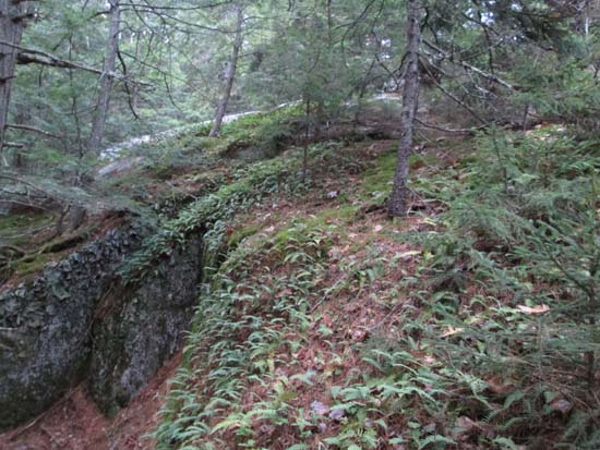
Short segment of Bearcamp River Trail (near Beebe Falls) used was mostly dry. Soon thereafter, we bushwhacked up the ridge in generally open woods (some ledges and cliffs, lots of slippery leaves) to the wooded recognized highpoint of Dinsmore (there is a false peak to the south). Directional views from an area maybe 75 yards southwest of the highpoint.
For the descent, we favored west in generally okay woods (some occasional scrappy stuff), but had to deal with some cliffy areas and lots of slippery leaves. We eventually popped out on Sandwich Notch Road above the Crawford Ridgepole Trail and then roadwalked back to the parking lot, getting back just before the misting started.
| Hike Ratings |
|
Getting To Trailhead: |
Easy |
| Destination: |
Dinsmore Mountain |
|
Length: |
Moderate |
|
Steepness: |
Difficult |
|
Navigation: |
Difficult |
|
Views: |
Excellent |
|
Crowds: |
Minimal |
|
| Hike Stats |
|
Date Hiked: |
Saturday, November 1, 2014 |
| Parking Elevation: |
1,020' |
| Destination: |
Dinsmore Mountain |
| Time Elapsed: |
01:17 |
| Trailhead Elevation: |
1,020' |
| Summit Elevation: |
2,303' |
| Vertical Gain: |
1,403' |
|
|
| Hike Time Elapsed: |
02:41 |
| Hike Vertical Gain: |
1,453' |
|
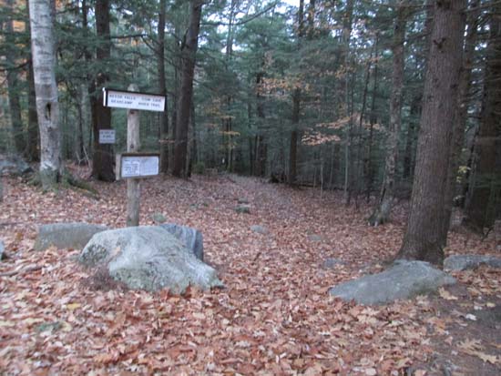
The Bearcamp River Trail trailhead
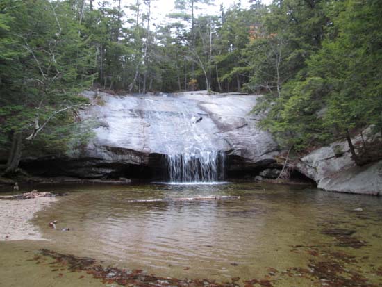
Beede Falls
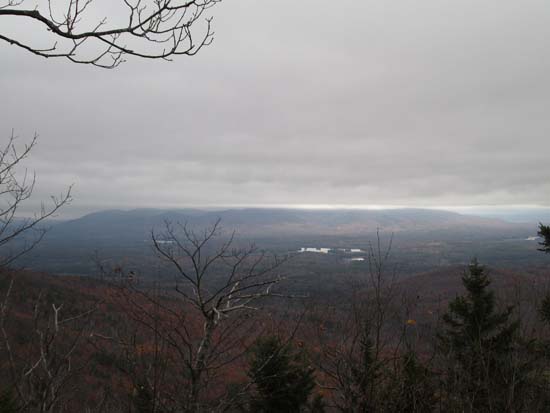
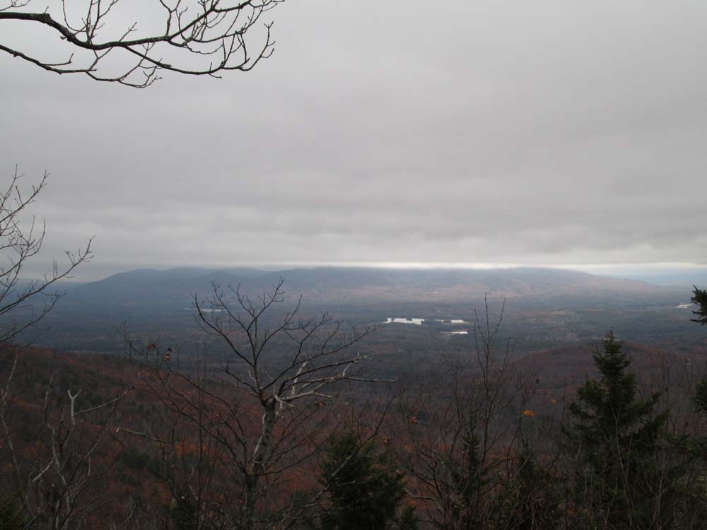
Looking at the Ossipees from near the summit of Dinsmore Mountain
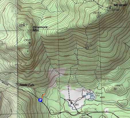

Directions to trailhead: From Sandwich, head to Sandwich Notch Road. The Bearcamp River Trail trailhead and parking area will be on the right, prior to reaching any rough spots in the road.
Back to Dinsmore Mountain Profile
|