Home
States
Colorado
Connecticut
Maine
Massachusetts
New Hampshire
New York
Rhode Island
Utah
Vermont
View All
Lists
NE 4,000 Footers
NE 100 Highest
NH 4,000 Footers
NH 100 Highest
NH 52 With A View
NH Belknap Range
NH Ossipee 10
Links
Trail Conditions
Trip Log
Sunrises
Sunsets
About
|
East Rattlesnake
Holderness, NH
Trailheads, measurements, times, distances, and maps are all approximate and relative to the hike(s) as shown below.
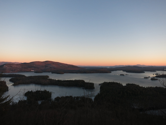
Up on the ridge near the viewpoint
Route: East Rattlesnake Trail
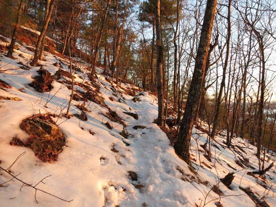
Lower portion of the trail was generally snow free (snow in adjacent woods) with a little bit of avoidable mud. Frozen granular elsewhere, but never more than maybe 1-3" deep. I was able to bareboot roundtrip without much of an issue, though some may prefer light traction for the descent.
| Hike Ratings |
|
Getting To Trailhead: |
Easy |
| Destination: |
East Rattlesnake |
|
Length: |
Easy |
|
Steepness: |
Moderate |
|
Navigation: |
Easy |
|
Views: |
Excellent |
|
Crowds: |
Minimal |
|
| Hike Stats |
|
Date Hiked: |
Friday, December 19, 2014 |
| Time to Trailhead: |
00:04 |
| Parking Elevation: |
623' |
| Destination: |
East Rattlesnake |
| Time Elapsed: |
00:12 |
| Trailhead Elevation: |
720' |
| Summit Elevation: |
1,289' |
| Vertical Gain: |
584' |
|
|
| Hike Time Elapsed: |
00:44 |
| Hike Vertical Gain: |
711' |
|

The East Rattlesnake Trail trailhead
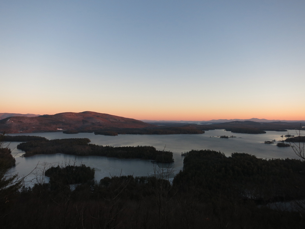
Red Hill and the Belknaps as seen from the East Rattlesnake view point
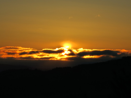
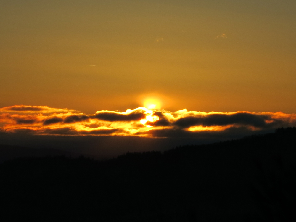
The sunset from the East Rattlesnake view point
Directions to trailhead: Take Route 113 West from Center Sandwich. Shortly after the Mt. Morgan parking lot, take a left onto Pinehurst Road. Park outside the private property entranceway (don't block the road!), then follow the road up shortly, taking a left, then a right between two cabins. The East Rattlsnake Trail sign will be a minute or two up the path.
Back to East Rattlesnake Profile
|