Home
States
Colorado
Connecticut
Maine
Massachusetts
New Hampshire
New York
Rhode Island
Utah
Vermont
View All
Lists
NE 4,000 Footers
NE 100 Highest
NH 4,000 Footers
NH 100 Highest
NH 52 With A View
NH Belknap Range
NH Ossipee 10
Links
Trail Conditions
Trip Log
Sunrises
Sunsets
About
|
East Sleeper, West Sleeper, Mt. Whiteface
Albany, NH, Sandwich, NH, Waterville Valley, NH
Trailheads, measurements, times, distances, and maps are all approximate and relative to the hike(s) as shown below.
The Blueberry Ledge Trail
Route: Blueberry Ledge Trail, Rollins Trail, Kate Sleeper Trail, East Sleeper Spur
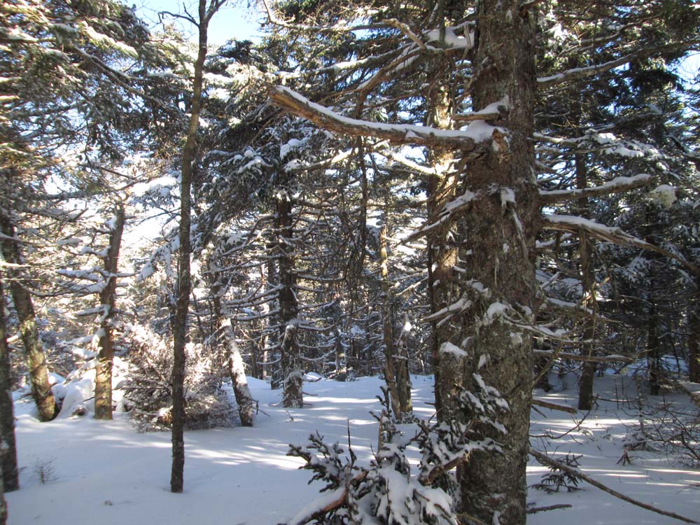
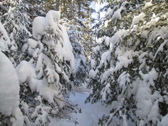
Blueberry Ledge Trail was unbroken (some ski tracks on the flats down low) this morning. Our group of three broke it out with generally 10-18" of powder on top of an icy base with some drifts up to stomach deep. A few of the scrambles were tricky due to underlying blue ice. We made it up and down with extreme care on our snowshoes, but some may prefer an ax and crampons for a few short sections. On the return trip, one person had descended this way, but our tracks were drifting in quickly in places.
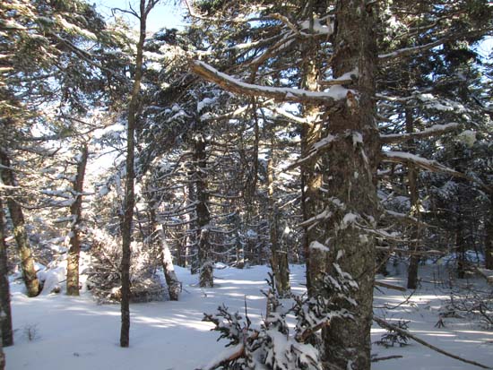
We also broke out Kate Sleeper to West Sleeper, which had perhaps 12-18" of powder on top of the base with a few drifts here and there. Some recent blowdowns made navigation tricky in a few places.
Upon returning to the Rollins Trail, there was a single set of snowshoe tracks that appeared to come over from Dicey's Mill, but had drifted in. Since it was so close, we went to the highpoint of Whiteface and back, but drifting was still in progress.
| Hike Ratings |
|
Getting To Trailhead: |
Easy |
| Destination: |
East Sleeper |
|
Length: |
Moderate |
|
Steepness: |
Very Difficult |
|
Navigation: |
Difficult |
|
Views: |
Moderate |
|
Crowds: |
Minimal |
| Destination: |
West Sleeper |
|
Length: |
Difficult |
|
Steepness: |
Moderate |
|
Navigation: |
Difficult |
|
Views: |
Minimal |
|
Crowds: |
Minimal |
| Destination: |
Mt. Whiteface |
|
Length: |
Difficult |
|
Steepness: |
Moderate |
|
Navigation: |
Moderate |
|
Views: |
Excellent |
|
Crowds: |
Minimal |
|
| Hike Stats |
|
Date Hiked: |
Saturday, January 31, 2105 |
| Parking Elevation: |
1,140' |
| Destination: |
East Sleeper |
| Time Elapsed: |
04:17 |
| Trailhead Elevation: |
1,140' |
| Summit Elevation: |
3,850' |
| Distance: |
4.7 miles |
| Vertical Gain: |
2,995' |
| Destination: |
West Sleeper |
| Time Elapsed: |
00:42 |
| Trailhead Elevation: |
3,850' |
| Summit Elevation: |
3,881' |
| Distance: |
1.1 miles |
| Vertical Gain: |
351' |
| Destination: |
Mt. Whiteface |
| Time Elapsed: |
01:22 |
| Trailhead Elevation: |
4,020' |
| Summit Elevation: |
4,020' |
| Distance: |
2.9 miles |
| Vertical Gain: |
960' |
|
|
| Hike Time Elapsed: |
08:38 |
| Hike Vertical Gain: |
4,499' |
|
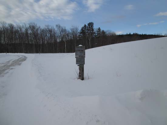
The Blueberry Ledge Trail trailhead at Ferncroft
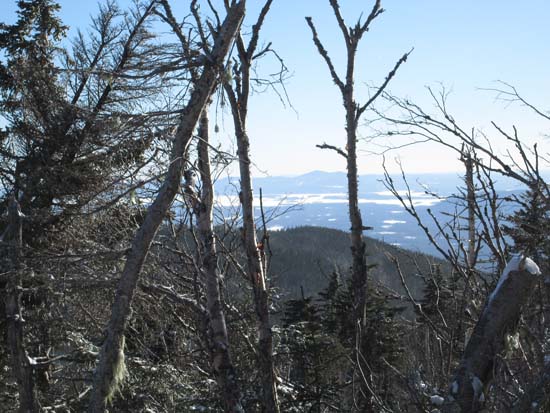
Slight views of the Belknaps from near the summit of East Sleeper
The Kate Sleeper Trail between East Sleeper and Downes Brook
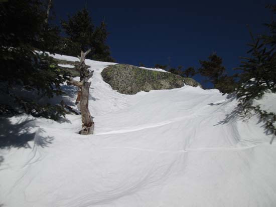
Mt. Chocorua as seen from the southern Mt. Whiteface ledges


Directions to trailhead: Take Route 113A to Wonalancet, then take Ferncroft Road. The trailhead (the road) and parking lot are both on the right next to the pasture.
Back to East Sleeper Profile
Back to West Sleeper Profile
Back to Mt. Whiteface Profile
|