Home
States
Colorado
Connecticut
Maine
Massachusetts
New Hampshire
New York
Rhode Island
Utah
Vermont
View All
Lists
NE 4,000 Footers
NE 100 Highest
NH 4,000 Footers
NH 100 Highest
NH 52 With A View
NH Belknap Range
NH Ossipee 10
Links
Trail Conditions
Trip Log
Sunrises
Sunsets
About
|
Frenchs Ledge
Plainfield, NH
Trailheads, measurements, times, distances, and maps are all approximate and relative to the hike(s) as shown below.
French's Ledges Trail
Route: French's Ledges Trail, Ira's Loop
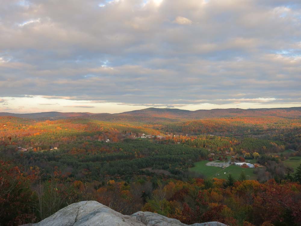
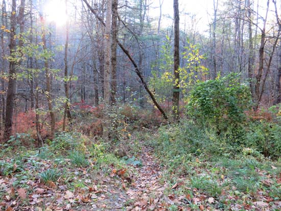
With the exception of some standing water adjacent to the water crossing, the trails were mostly dry. This particular route isn't terribly attractive woods-wise, as a good portion of it meanders through a few year old logging. There are a bunch of other trails though (including some coming up from the east that aren't on the map, yet may be more popular than the mapped ones), and the ledgy dome has views in nearly all directions (a few trees in the way of the Ascutney area view, otherwise everything else, such as Croydon, Killington, etc. is visible). Footing was good and the grades, with the exception of the short, rugged climb to the summit, were gentle.
| Hike Ratings |
|
Getting To Trailhead: |
Easy |
| Destination: |
Frenchs Ledge |
|
Length: |
Easy |
|
Steepness: |
Difficult |
|
Navigation: |
Moderate |
|
Views: |
Excellent |
|
Crowds: |
Minimal |
|
| Hike Stats |
|
Date Hiked: |
Friday, October 17, 2014 |
| Parking Elevation: |
950' |
| Destination: |
Frenchs Ledge |
| Trailhead Elevation: |
950' |
| Summit Elevation: |
1,370' |
| Vertical Gain: |
520' |
|
|
| Hike Vertical Gain: |
575' |
|
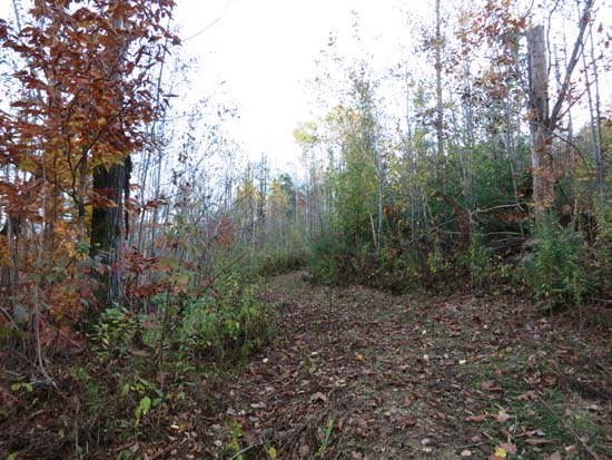
The French's Ledges Trail trailhead on Colby Hill Road

Looking east at Meriden and Kimball Union School from Frenchs Ledge
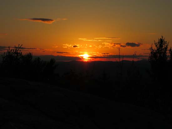
The sunset from Frenchs Ledge
Directions to trailhead: From Route 120 in Meriden, take Main Street west, then take a left onto Colby Hill Road (crossing a covered bridge). Soon after passing a cemetary on the left, the trailhead and small roadside parking area will be on the left, just before reaching a large field on the right.
Back to Frenchs Ledge Profile
|