Home
States
Colorado
Connecticut
Maine
Massachusetts
New Hampshire
New York
Rhode Island
Utah
Vermont
View All
Lists
NE 4,000 Footers
NE 100 Highest
NH 4,000 Footers
NH 100 Highest
NH 52 With A View
NH Belknap Range
NH Ossipee 10
Links
Trail Conditions
Trip Log
Sunrises
Sunsets
About
|
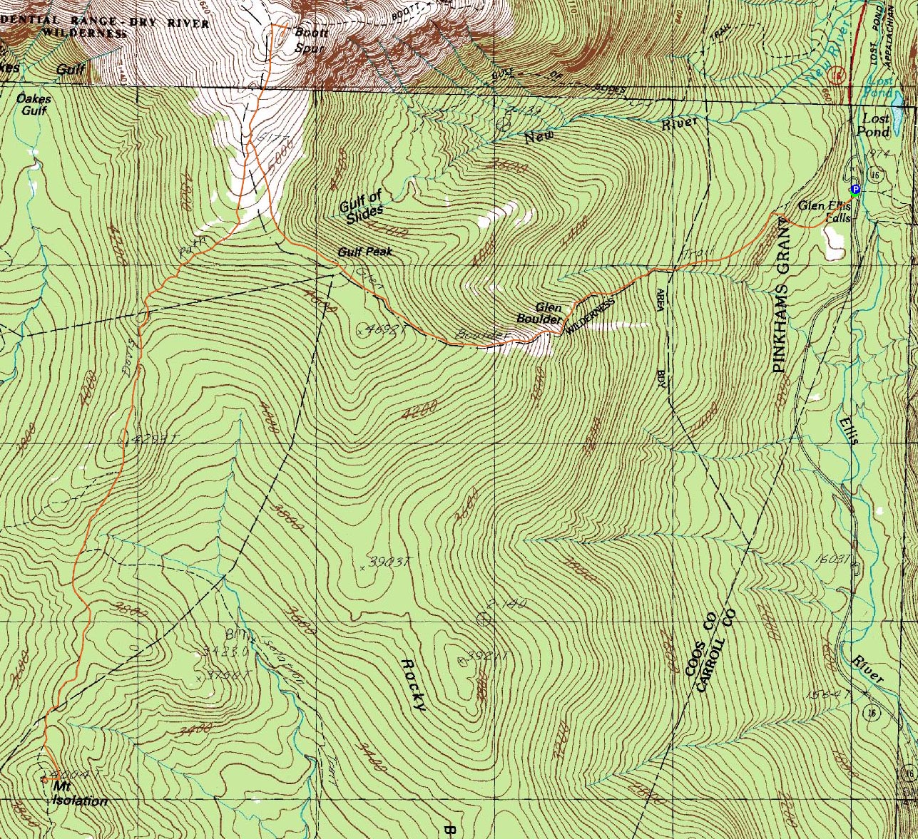
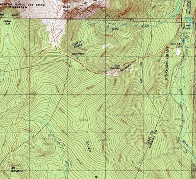
Gulf Peak, Mt. Isolation, Boott Spur
Pinkham's Grant, Sargent's Purchase, NH, Cutt's Grant, NH
Trailheads, measurements, times, distances, and maps are all approximate and relative to the hike(s) as shown below.
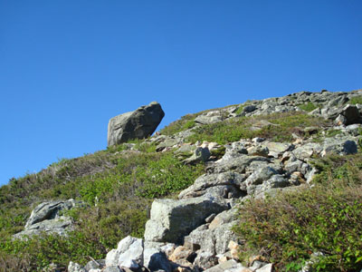
Looking up the Glen Boulder Trail at the Glen Boulder
Route: Glen Boulder Trail, (Gulf Peak), Glen Boulder Trail, Davis Path, Isolation Spur, (Mt. Isolation), Isolation Spur, Davis Path, Boott Spur Trail (Boott Spur), Boott Spur Trail, Davis Path, Glen Boulder Trail, (Gulf Peak), Glen Boulder Trail
The elusive Mt. Isolation. I had originally attempted to hike it via the Rocky Branch Trail on July 26, 2007, but had to turn around after a few miles due to my bum knee. This time, I was dealing with a slightly tweaked knee (a week and a half earlier) as well as a slightly strained hamstring - perfect for a long hike!
Arriving at the Glen Ellis Falls parking area, I quickly hit the trail and started the ascent to Glen Boulder. The very first portion of the Glen Boulder Trail was gradual, until it suddenly steepened up as it ascended to the Direttissima Trail junction. From there, the trail was a bit more gradual for awhile, crossing a few small creeks along the way.
Gradually things became steep, picking up as the trail left the trees. There was some very minor scrambling involved at this point, though it wasn't by any means overly technical.
The Glen Boulder was fairly impressive up close - large, cracked, and seemingly barely in place. Beyond it, the trail continued steeply, eventually ducking back into the woods, where things became a bit more gradual. Soon, I was out of the trees again and looking up at some patches of snow at the top of the Gulf of Slides.
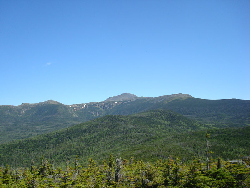
At Gulf Peak (also known as Slide Peak), I decided to take a few minutes to enjoy the views and a sandwich. Though not an overly prominent peak, the vistas and adjacent Gulf of Slides still makes it a neat stop.
Next up was the Davis Path junction - looming ahead. As I neared it, two sets of AMC trail crew ran by, continuing down the Davis Path at an impressive pace, especially considering they were carrying axes and other tools. After entering the trees again on the Davis Path, I played leapfrog with them, as they stopped to chop up blowdowns and work on drainage. The trail itself was in decent shape, though a bit mucky after the first Isolation Trail junction.
The Isolation Spur wasn't signed and could have been easily missed, though there was a randomly placed Davis Path sign near it. After checking out the cairn and benchmark at the summit, I went down to a slightly lower ledgy area and had some snacks, while a few black flies attempted to make a snack out of them. Fortunately, this was the first time so far on the hike that I had to deal with any bugs (and they weren't really that bad).
After taking in the views for awhile, I decided to head out, not particularly looking forward to the significant ascent in front of me. Despite starting to get sore, the climb back up the Davis Path wasn't too bad, especially once I emerged from the trees. Reaching the trail junction and subsequently running out of water in my first Camelbak bladder, I switched over to my second and debated going up to Boott Spur. Since it was only half a mile and a few hundred more vertical feet, I decided to go for it and perhaps eat some lunch up there.
Rock hopping to the likely high point, I was divebombed by what I think were some wasps. Since I'm not particularly curious by entomology, I didn't stay to study them any further.
Since I my dogs were barking (figuratively speaking), I took a break at Gulf Peak again, enjoying the views into the Gulf of Slides. While there were bugs now swarming in the trees, they still weren't biting. I also took a break at Glen Boulder and had a late lunch.
On the way down, I also took a short spur trail over to a nice set of cascades. Though I was tempted to jump in, I had more interest in getting a Slurpee, so I headed the rest of the way down and stopped at 7-11 on the way home. Needless to say, the Slurpee didn't last too long.
| Hike Ratings |
|
Getting To Trailhead: |
Easy |
| Destination: |
Glen Boulder |
|
Length: |
Moderate |
|
Steepness: |
Very Difficult |
|
Navigation: |
Easy |
|
Views: |
Excellent |
|
Crowds: |
Minimal |
| Destination: |
Gulf Peak (Slide Peak) |
|
Length: |
Moderate |
|
Steepness: |
Very Difficult |
|
Navigation: |
Easy |
|
Views: |
Excellent |
|
Crowds: |
Minimal |
| Destination: |
Mt. Isolation |
|
Length: |
Difficult |
|
Steepness: |
Difficult |
|
Navigation: |
Moderate |
|
Views: |
Excellent |
|
Crowds: |
Moderate |
| Destination: |
Boott Spur |
|
Length: |
Difficult |
|
Steepness: |
Difficult |
|
Navigation: |
Easy |
|
Views: |
Excellent |
|
Crowds: |
Minimal |
|
| Hike Stats |
|
Date Hiked: |
Friday, June 13, 2008 |
| Hike Commenced: |
6:23 AM |
| Parking Elevation: |
1,975' |
| Destination: |
Glen Boulder |
| Ascent Commenced: |
6:23 AM |
| Summit Reached: |
7:22 AM |
| Time Elapsed: |
00:59 |
| Trailhead Elevation: |
1,975' |
| Summit Elevation: |
3,729' |
| Distance: |
1.6 miles |
| Vertical Gain: |
1,769' |
| Destination: |
Gulf Peak (Slide Peak) |
| Ascent Commenced: |
7:22 AM |
| Summit Reached: |
8:05 AM |
| Time Elapsed: |
00:43 |
| Trailhead Elevation: |
3,729' |
| Summit Elevation: |
4,806' |
| Distance: |
1 mile |
| Vertical Gain: |
1,082' |
| Destination: |
Mt. Isolation |
| Ascent Commenced: |
8:12 AM |
| Summit Reached: |
9:43 AM |
| Time Elapsed: |
01:31 |
| Trailhead Elevation: |
4,806' |
| Summit Elevation: |
4,004 |
| Distance: |
3.4 miles |
| Vertical Gain: |
808' |
| Destination: |
Boott Spur |
| Ascent Commenced: |
10:07 AM |
| Summit Reached: |
11:51 PM |
| Time Elapsed: |
01:44 |
| Trailhead Elevation: |
4,004' |
| Summit Elevation: |
5,500 |
| Distance: |
3.3 miles |
| Vertical Gain: |
1,918' |
|
|
| Hike Ended: |
2:24 PM |
| Hike Time Elapsed: |
08:01 |
| Hike Distance: |
13 miles |
| Hike Vertical Gain: |
5,622' |
|
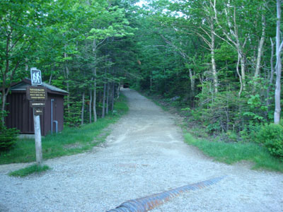
The Glen Boulder Trail trailhead at the Glen Ellis Falls parking area
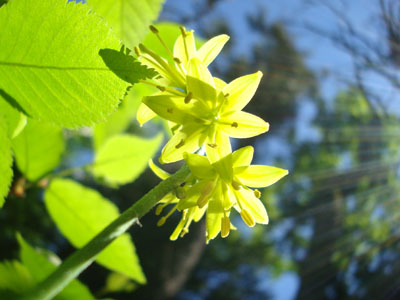
Wildflowers along the Glen Boulder Trail
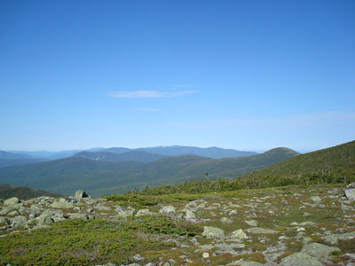
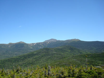
Looking at the southern Presidentials and beyond from the Gulf Peak summit
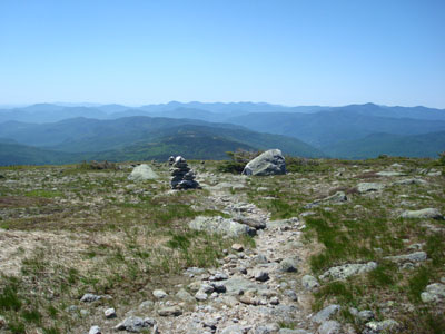
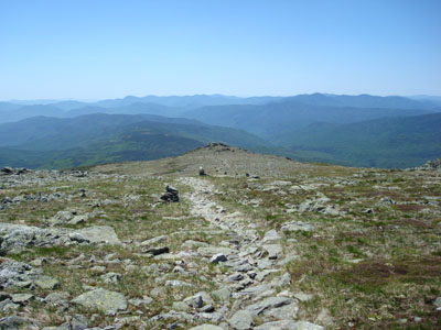
Looking down the Davis Path at Mt. Isolation
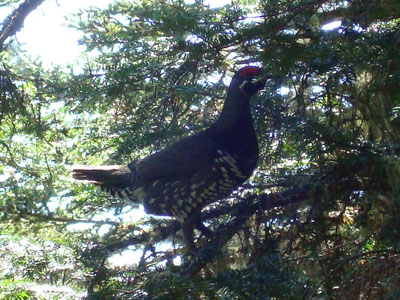
An attack chicken or something on the side of the Davis Path on the way to Mt. Isolation
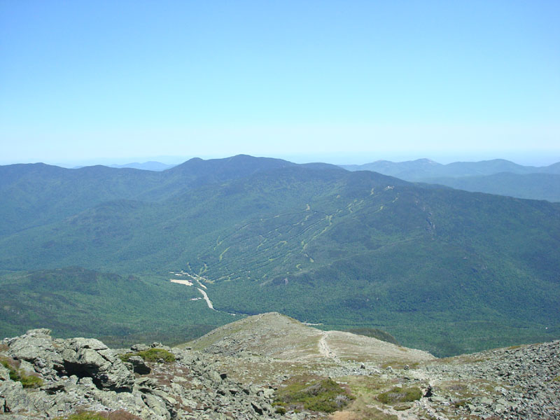
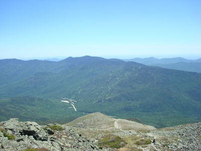
Looking at Mt. Washington from Mt. Isolation
Looking down the Davis Path on the way to Boott Spur
Looking at the Wildcats and Carters from near the top of Boott Spur

Directions to trailhead: Take Route 16 North from Jackson. The Glen Ellis Falls WMNF fee parking area will be on the left, before the height of land. The Glen Boulder Trail trailhead is located next to the restrooms.
Back to Gulf Peak Profile
Back to Mt. Isolation Profile
Back to Boott Spur Profile
|