Home
States
Colorado
Connecticut
Maine
Massachusetts
New Hampshire
New York
Rhode Island
Utah
Vermont
View All
Lists
NE 4,000 Footers
NE 100 Highest
NH 4,000 Footers
NH 100 Highest
NH 52 With A View
NH Belknap Range
NH Ossipee 10
Links
Trail Conditions
Trip Log
Sunrises
Sunsets
About
|
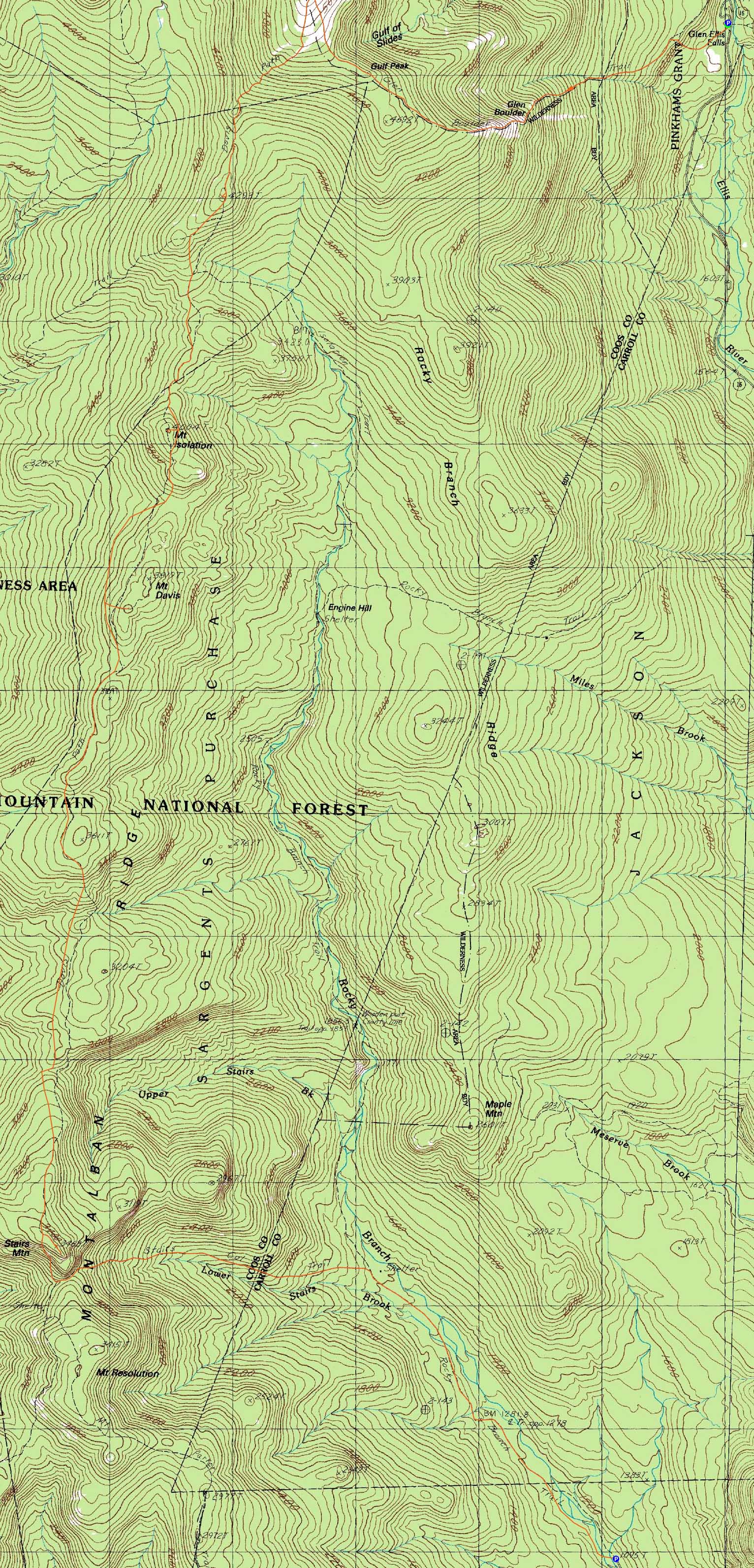
Gulf Peak, Mt. Isolation (North Peak), Mt. Isolation, Mt. Davis, Stairs Mountain
Pinkham's Grant, Sargent's Purchase, NH, Cutt's Grant, NH, Jackson, NH, Bartlett, NH
Trailheads, measurements, times, distances, and maps are all approximate and relative to the hike(s) as shown below.
Looking up the Glen Boulder Trail near Glen Boulder
Route: Glen Boulder Trail, (Gulf Peak), Glen Boulder Trail, Davis Path, bushwhack (North Isoation), bushwhack, Davis Path, Isolation Spur, (Mt. Isolation), Isolation Spur, Davis Path, spur trail, (Mt. Davis), spur trail, Davis Path, spur trail, (Stairs Mountain), spur trail, Davis Path, Stairs Col Trail, Rocky Branch Trail
With a decent morning forecast, we opted to head to Isolation via Glen Boulder.
With sun shining down on us, the steep and constant climb to the boulder was a bit tiring. Though clouds were moving in, we had excellent views in all directions from Gulf Peak. After an extended break, we continued to the Davis Path, then down the beautiful alpine meadow and back into the trees.
At a height of land, I bushwhacked west off the trail (just before it turned downhill and west) to what appeared to be the highpoint of North Isolation (I didn't find anything marking it as such). Through a quasi-blowdown patch, there were decent views of Mt. Washington and Boott Spur.
Back on the trail, we worked our way to Isolation. Reaching the summit, we had good views, though the clouds had descended on Mt. Washington.
After another extended break, we headed back to the Davis Path and worked our way to the Mt. Davis Spur. Climbing up the steep scrambles to the south summit, we had decent, though cloudy, views in all directions as the clouds continued to drop lower on the Presidentials.
The next section of the Davis Path dragged on, climbing and dropping it's way to the Stairs Mountain spur. From these ledges we had decent directional views. Though taking a long break, we didn't stay too long, as the wind was making things slightly chilly.
Back on the Davis Path, we continued to the Stairs Col junction, then took that up to the height of land, then steeply, then gradually down to the Rocky Branch Trail. From there, it was a flat walk along the old railgrade (not nearly as monotonous as Lincoln Woods) to the parking lot.
| Hike Ratings |
|
Getting To Trailhead: |
Easy |
| Destination: |
Gulf Peak (Slide Peak) |
|
Length: |
Moderate |
|
Steepness: |
Very Difficult |
|
Navigation: |
Easy |
|
Views: |
Excellent |
|
Crowds: |
Minimal |
| Destination: |
Mt. Isolation (North Peak) |
|
Length: |
Difficult |
|
Steepness: |
Difficult |
|
Navigation: |
Difficult |
|
Views: |
Moderate |
|
Crowds: |
Minimal |
| Destination: |
Mt. Isolation |
|
Length: |
Difficult |
|
Steepness: |
Difficult |
|
Navigation: |
Easy |
|
Views: |
Excellent |
|
Crowds: |
Heavy |
| Destination: |
Mt. Davis |
|
Length: |
Difficult |
|
Steepness: |
Very Difficult |
|
Navigation: |
Easy |
|
Views: |
Excellent |
|
Crowds: |
Minimal |
| Destination: |
Stairs Mountain |
|
Length: |
Very Difficult |
|
Steepness: |
Difficult |
|
Navigation: |
Moderate |
|
Views: |
Excellent |
|
Crowds: |
Minimal |
|
| Hike Stats |
|
Date Hiked: |
Sunday, August 15, 2010 |
| Hike Commenced: |
7:40 AM |
| Parking Elevation: |
1,975' |
| Destination: |
Gulf Peak (Slide Peak) |
| Ascent Commenced: |
7:40 AM |
| Summit Reached: |
10:09 AM |
| Time Elapsed: |
02:29 |
| Trailhead Elevation: |
1,975' |
| Summit Elevation: |
4,806' |
| Distance: |
2.6 miles |
| Vertical Gain: |
2,851' |
| Destination: |
Mt. Isolation (North Peak) |
| Ascent Commenced: |
10:20 AM |
| Summit Reached: |
11:33 AM |
| Time Elapsed: |
02:22 |
| Trailhead Elevation: |
4,806' |
| Summit Elevation: |
4,293 |
| Vertical Gain: |
503' |
| Destination: |
Mt. Isolation |
| Ascent Commenced: |
11:34 AM |
| Summit Reached: |
12:38 PM |
| Time Elapsed: |
01:04 |
| Trailhead Elevation: |
4,293' |
| Summit Elevation: |
4,004 |
| Vertical Gain: |
318' |
| Destination: |
Mt. Davis |
| Ascent Commenced: |
1:15 PM |
| Summit Reached: |
2:06 PM |
| Time Elapsed: |
00:51 |
| Trailhead Elevation: |
4,004' |
| Summit Elevation: |
3,815 |
| Distance: |
1.4 miles |
| Vertical Gain: |
365' |
| Destination: |
Stairs Mountain |
| Ascent Commenced: |
2:27 PM |
| Summit Reached: |
5:01 PM |
| Time Elapsed: |
02:34 |
| Trailhead Elevation: |
3,815' |
| Summit Elevation: |
3,463 |
| Distance: |
4.5 miles |
| Vertical Gain: |
853' |
|
|
| Hike Ended: |
7:48 PM |
| Hike Time Elapsed: |
12:08 |
| Hike Vertical Gain: |
5,030' |
|
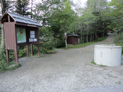
The Glen Boulder Trail trailhead at the Glen Ellis Falls parking area
Looking at the Wildcats and Carters from Gulf Peak
Looking down the Davis Path on the way to North Isolation

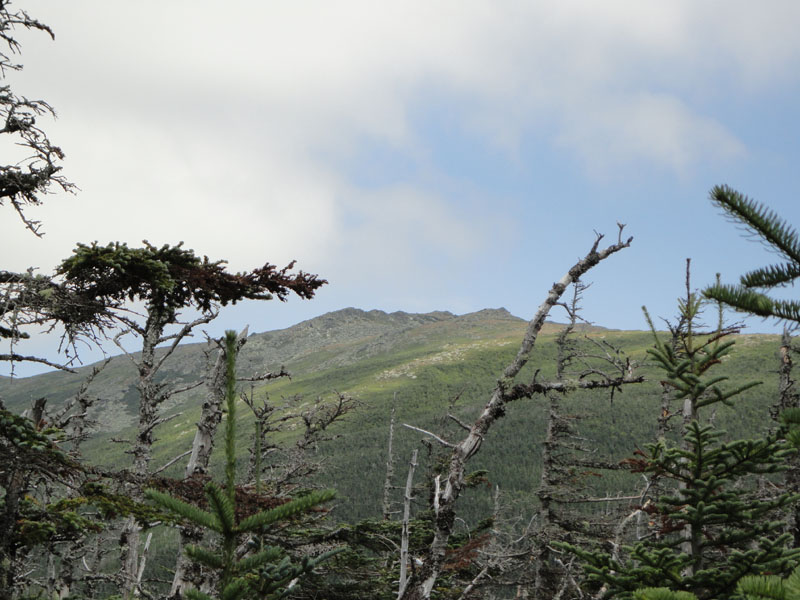
Looking at Boott Spur from North Isolation
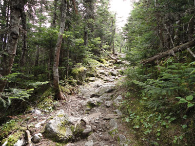
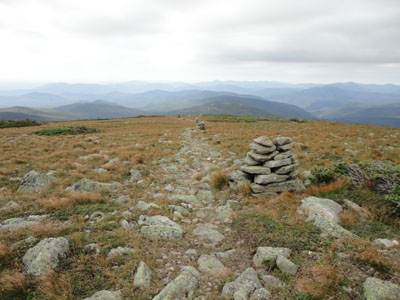
The Davis Path on the way to Mt. Isolation
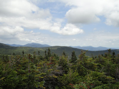
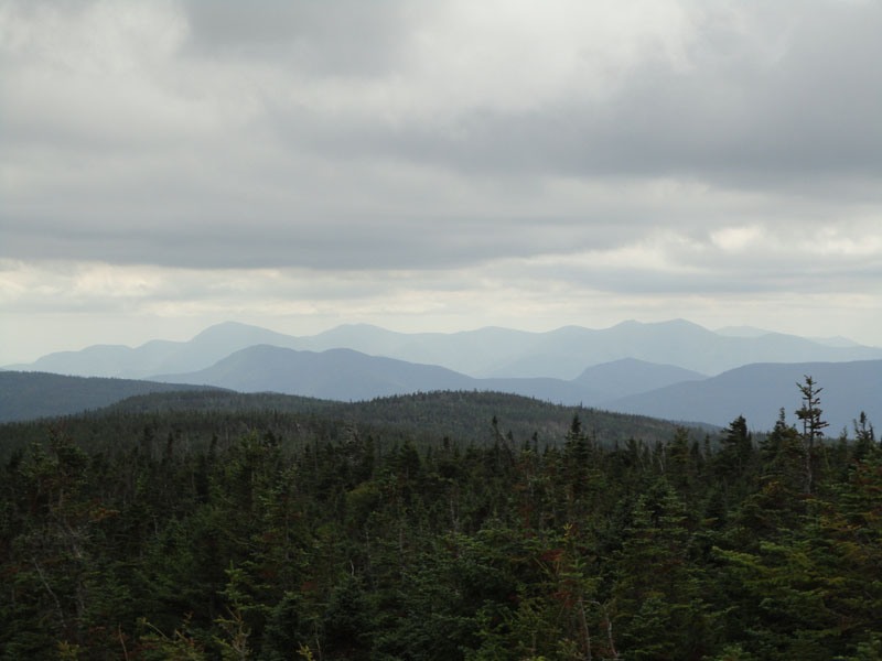
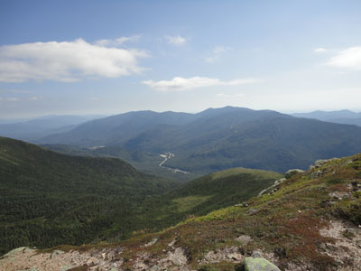
The Carters, Wildcats, and Baldfaces as seen from Mt. Isolation
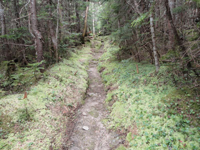
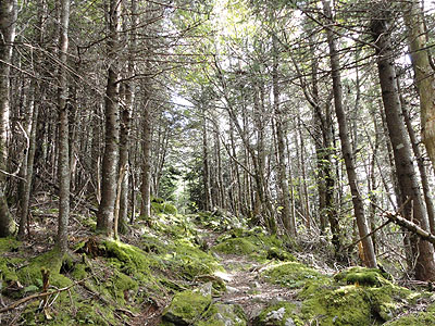
The Davis Path on the way to Mt. Davis
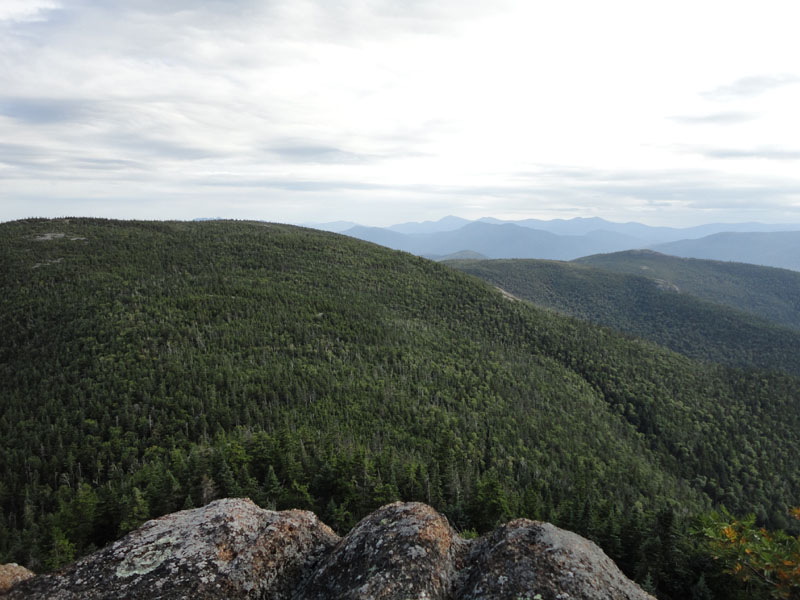
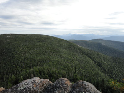
The Sandwich Range as seen from the south peak of Mt. Davis
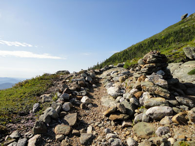
The Davis Path on the way to Stairs Mountain
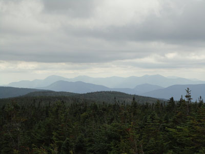
Looking at Mt. Resolution and the Sandwich Range from one of the Stairs Mountain ledges

Directions to trailhead: Take Route 16 North from Jackson. The Glen Ellis Falls WMNF fee parking area will be on the left, before the height of land. The Glen Boulder Trail trailhead is located next to the restrooms. To get to the Rocky Branch south trailhead, take Route 302 west from North Conway. Shortly after passing through Glen (Route 302-16 junction), Jericho Road will be on the right. The road will eventually become dirt, passing through a gate. There is room to park at the end of the road. The Rocky Branch Trail will start on the left at a closed gate, immediately crossing over two wooden bridges.
Back to Gulf Peak Profile
Back to Mt. Isolation (North Peak) Profile
Back to Mt. Isolation Profile
Back to Mt. Davis Profile
Back to Stairs Mountain Profile
|