Home
States
Colorado
Connecticut
Maine
Massachusetts
New Hampshire
New York
Rhode Island
Utah
Vermont
View All
Lists
NE 4,000 Footers
NE 100 Highest
NH 4,000 Footers
NH 100 Highest
NH 52 With A View
NH Belknap Range
NH Ossipee 10
Links
Trail Conditions
Trip Log
Sunrises
Sunsets
About
|
Heator Mountain
Gilford, NH
Trailheads, measurements, times, distances, and maps are all approximate and relative to the hike(s) as shown below.
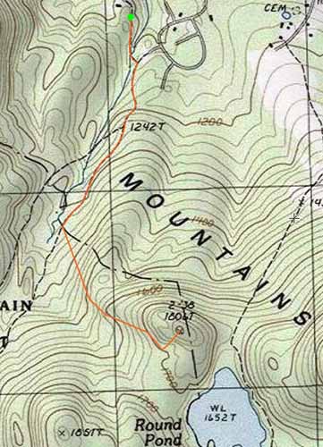
The Round Pond Trail
Route: Fire Road, Round Pond Trail, bushwhack
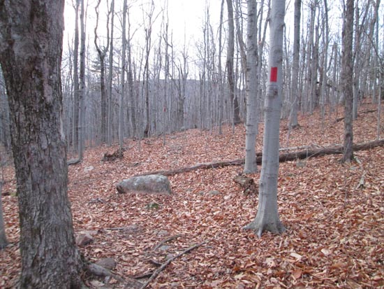
Trails were generally dry with some minor mud from thawing ground frost. Also some areas of footbed obscured by deep leaves.
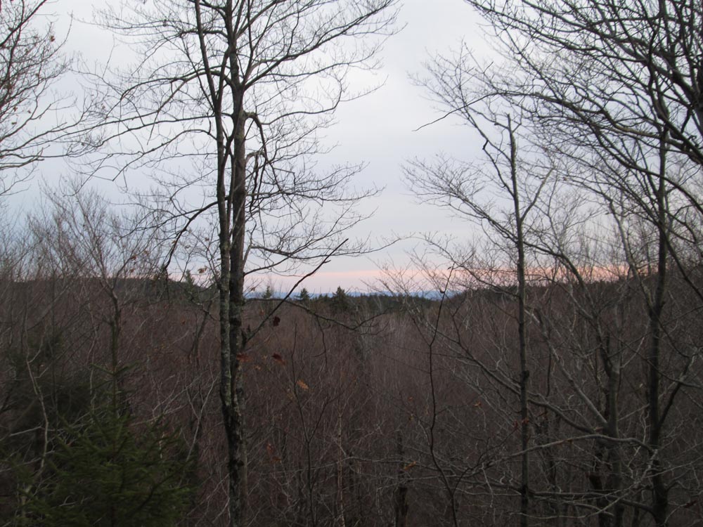
Decided to check out Heator Mountain (the 1,808 foot peak northwest of Round Pond). Quick, open woods bushwhack from the Round Pond Trail just before the Round Pond-Piper Link junction. One can get a visual bearing on the ledges from the trail this time of year. Slight views through the trees without leaves.
| Hike Ratings |
|
Getting To Trailhead: |
Easy |
| Destination: |
Mt. Klem |
|
Length: |
Moderate |
|
Steepness: |
Difficult |
|
Navigation: |
Difficult |
|
Views: |
Minimal |
|
Crowds: |
Minimal |
|
| Hike Stats |
|
Date Hiked: |
Sunday, November 15, 2015 |
| Parking Elevation: |
1,100' |
| Destination: |
Mt. Klem |
| Trailhead Elevation: |
1,100' |
| Summit Elevation: |
1,806' |
| Vertical Gain: |
756' |
|
|
| Hike Vertical Gain: |
806' |
|
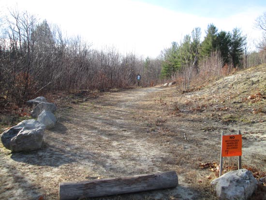
The East Gilford-Fire Road trailhead at the end of Wood Road
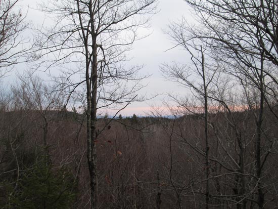
Slight views from Heator Mountain

Directions to trailhead: From Route 11A East past Gunstock, then take a right onto Bickford Road, then take a left onto Wood Road, soon bearing left to go uphill around the last house. The Fire Road-East Gilford Trail trailhead will be at the back of the 5 car parking lot at the end of the road.
Back to Heator Mountain Profile
|