Home
States
Colorado
Connecticut
Maine
Massachusetts
New Hampshire
New York
Rhode Island
Utah
Vermont
View All
Lists
NE 4,000 Footers
NE 100 Highest
NH 4,000 Footers
NH 100 Highest
NH 52 With A View
NH Belknap Range
NH Ossipee 10
Links
Trail Conditions
Trip Log
Sunrises
Sunsets
About
|
Ladd Mountain
Meredith, NH
Trailheads, measurements, times, distances, and maps are all approximate and relative to the hike(s) as shown below.
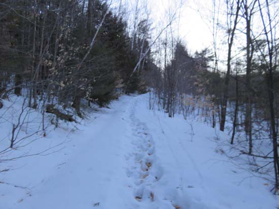
The postholed trail to Ladd Mountain
Route: Unknown trail
Trail has been beaten up badly by postholers. Unfortunately, the postholes have since set up with the cold weather. I attempted to snowshoe, however it was simply too beat up to attempt (unless bushwhacking around the trail), so I had to do my best to bareboot up the postholes. Will probably avoid until temperatures warm up again and perhaps snowshoes can then repair damage. Snowpack is probably about 18".
| Hike Ratings |
|
Getting To Trailhead: |
Moderate |
| Destination: |
Ladd Mountain |
|
Length: |
Easy |
|
Steepness: |
Moderate |
|
Navigation: |
Moderate |
|
Views: |
Excellent |
|
Crowds: |
Minimal |
|
| Hike Stats |
|
Date Hiked: |
Monday, March 23, 2015 |
| Parking Elevation: |
965' |
| Destination: |
Ladd Mountain |
| Time Elapsed: |
00:11 |
| Trailhead Elevation: |
965' |
| Summit Elevation: |
1,330' |
| Vertical Gain: |
390' |
|
|
| Hike Time Elapsed: |
00:36 |
| Hike Vertical Gain: |
415' |
|
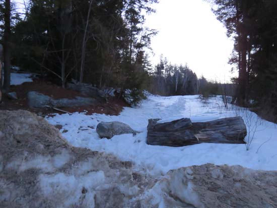
The start of the logging road off Chemung Road
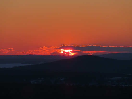
The sunrise over Lake Winnisquam from the Ladd Mountain ledge vista
Directions to trailhead: Take Route 104 East from I-93 in New Hampton. Shortly after passing Wickwas Lake on the right, take a right onto Meredith Center Road. Shortly thereafter, take a right onto Chemung Road. A few minutes later, take a right to stay on Chemung Road (where Camp Waldron Road goes straight). Awhile after the road turns to dirt, Randlett Pond will be visible on the right. On the left, there will be a blocked off logging road with limited room for parking. The trail starts on the logging road.
Back to Ladd Mountain Profile
|

