Home
States
Colorado
Connecticut
Maine
Massachusetts
New Hampshire
New York
Rhode Island
Utah
Vermont
View All
Lists
NE 4,000 Footers
NE 100 Highest
NH 4,000 Footers
NH 100 Highest
NH 52 With A View
NH Belknap Range
NH Ossipee 10
Links
Trail Conditions
Trip Log
Sunrises
Sunsets
About
|
Mt. Adams, Mt. Madison
Randolph, NH, Low and Burbank's Grant, NH, Thompson and Meserve's Purchase, NH
Trailheads, measurements, times, distances, and maps are all approximate and relative to the hike(s) as shown below.
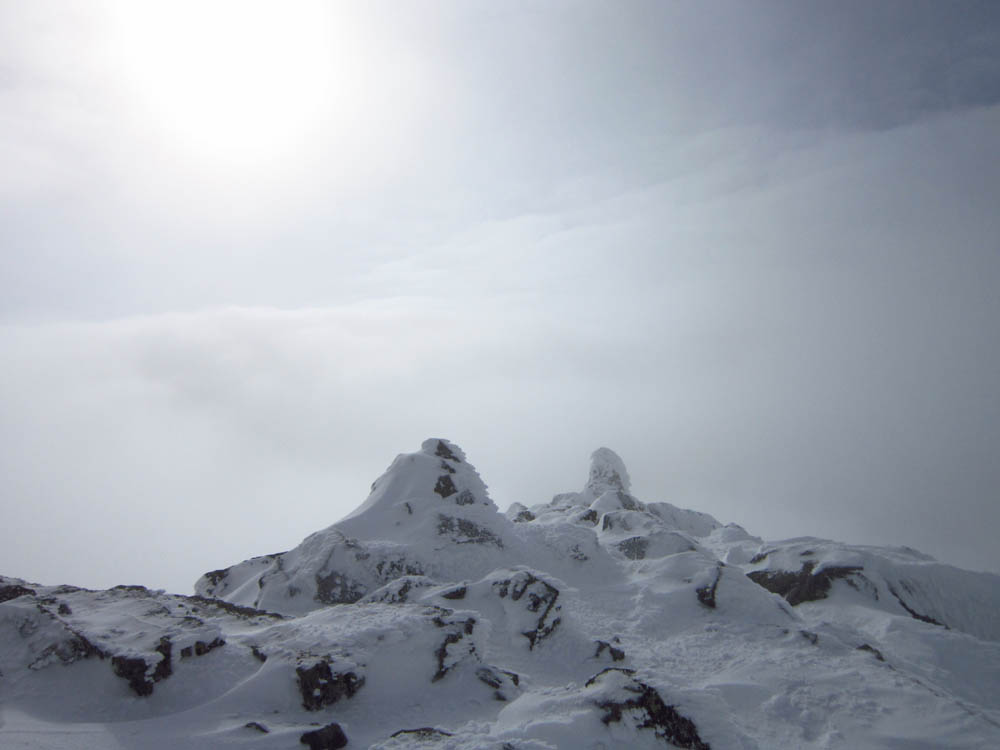
Looking up Gulfside on the way to Mt. Adams
Route: Valley Way, Gulfside, Air Line, (Mt. Adams), Air Line, Gulfside, Osgood Trail, (Mt. Madison), Osgood Trail, Valley Way
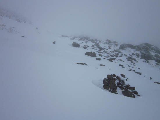
Limited visibility above treeline. Alternating drifting and bare rock.
| Hike Ratings |
|
Getting To Trailhead: |
Easy |
| Destination: |
Mt. Adams |
|
Length: |
Moderate |
|
Steepness: |
Difficult |
|
Navigation: |
Very Difficult |
|
Views: |
Minimal (due to weather) |
|
Crowds: |
Minimal |
| Destination: |
Mt. Madison |
|
Length: |
Difficult |
|
Steepness: |
Very Difficult |
|
Navigation: |
Very Difficult |
|
Views: |
Minimal (due to weather) |
|
Crowds: |
Minimal |
|
| Hike Stats |
|
Date Hiked: |
Friday, March 2, 2012 |
| Parking Elevation: |
1,311' |
| Destination: |
Mt. Adams |
| Time Elapsed: |
03:57 |
| Trailhead Elevation: |
1,311' |
| Summit Elevation: |
5,774' |
| Vertical Gain: |
4,583' |
| Destination: |
Mt. Madison |
| Time Elapsed: |
01:25 |
| Trailhead Elevation: |
5,774' |
| Summit Elevation: |
5,367' |
| Vertical Gain: |
607' |
|
|
| Hike Time Elapsed: |
07:48 |
| Hike Vertical Gain: |
5,320' |
|
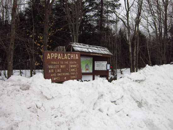
The Valley Way trailhead at Appalachia
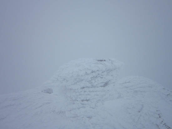
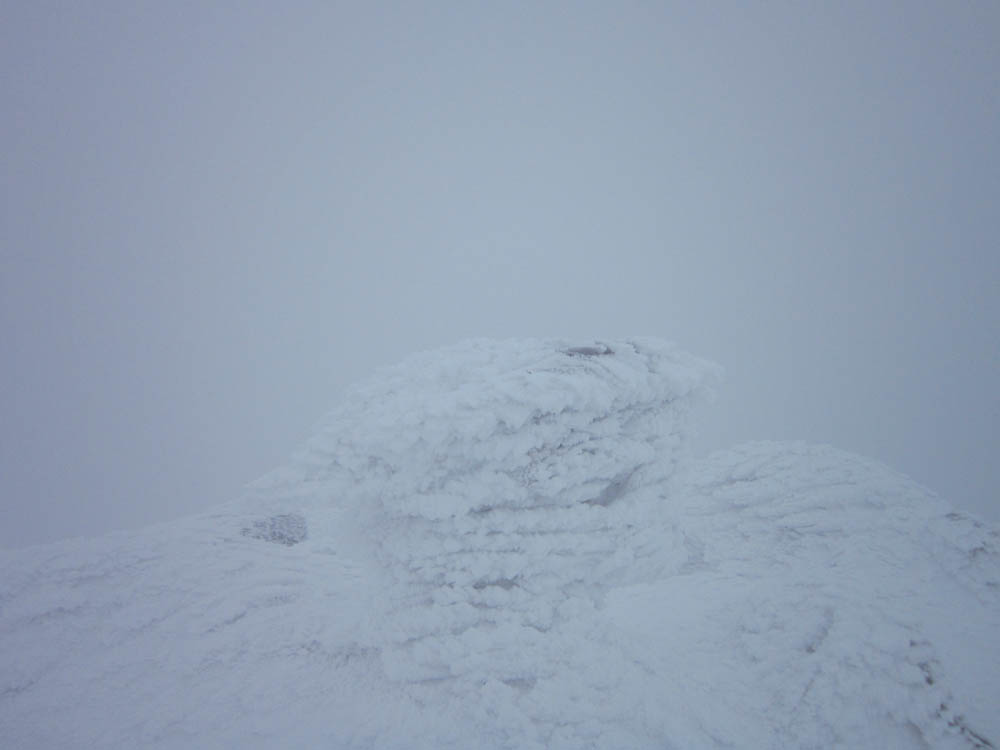
Fog as seen from the summit of Mt. Adams
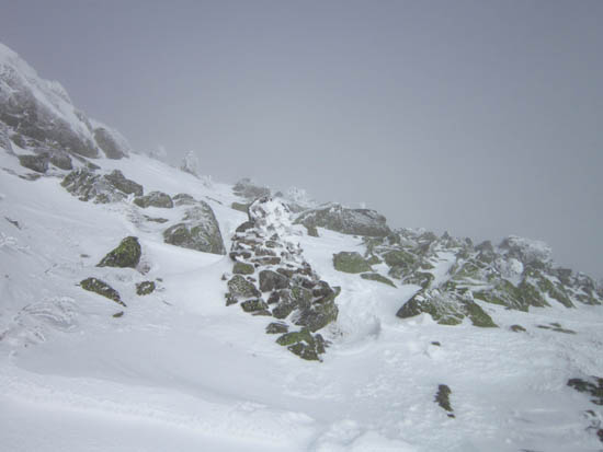
Looking up the Osgood Trail on the way to Mt. Madison
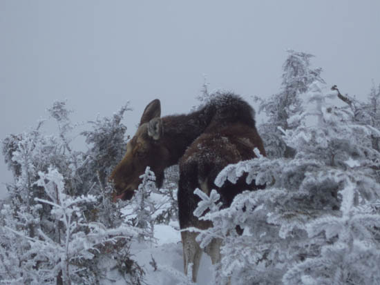
The famous moose near Madison Hut

Fog as seen from Mt. Madison
Directions to trailhead: Take US 2 West from Gorham to the Appalachia trailhead/parking lot.
Back to Mt. Adams Profile
Back to Mt. Madison Profile
|