Home
States
Colorado
Connecticut
Maine
Massachusetts
New Hampshire
New York
Rhode Island
Utah
Vermont
View All
Lists
NE 4,000 Footers
NE 100 Highest
NH 4,000 Footers
NH 100 Highest
NH 52 With A View
NH Belknap Range
NH Ossipee 10
Links
Trail Conditions
Trip Log
Sunrises
Sunsets
About
|
Mt. Adams, Mt. Madison
Randolph, NH, Low and Burbank's Grant, NH, Thompson and Meserve's Purchase, NH
Trailheads, measurements, times, distances, and maps are all approximate and relative to the hike(s) as shown below.
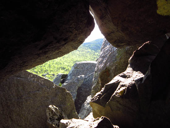
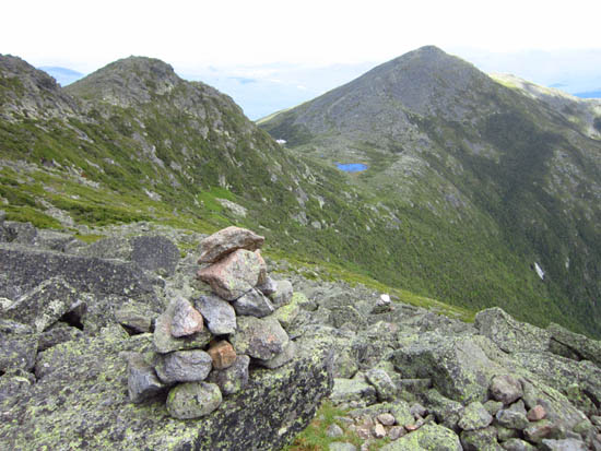
The Subway in King Ravine
Route: Air Line, Amphibranch, King Ravine Trail, Great Gully Trail, Lowes Path, (Mt. Adams), Star Lake Trail, Pink Link, Watson Path, (Mt. Madison), Watson Path, Pine Link
Smooth walk on Amphibranch. Rugged ascent through the Subway in King Ravine and up Great Gully.
Pine Link wasn't quite as bad as advertised. The summit bypass was rugged and probably not a time saver (vs. going directly over), but not as bad as some trails. Below Howker Ridge, the trail was par for the course in terms of White Mountain trails in terms of ruggedness.
| Hike Ratings |
|
Getting To Trailhead: |
Easy |
| Destination: |
Mt. Adams |
|
Length: |
Moderate |
|
Steepness: |
Very Difficult |
|
Navigation: |
Moderate |
|
Views: |
Excellent |
|
Crowds: |
Moderate |
| Destination: |
Mt. Madison |
|
Length: |
Difficult |
|
Steepness: |
Very Difficult |
|
Navigation: |
Easy |
|
Views: |
Excellent |
|
Crowds: |
Heavy |
|
| Hike Stats |
|
Date Hiked: |
Saturday, June 16, 2012 |
| Parking Elevation: |
1,311' |
| Destination: |
Mt. Adams |
| Time Elapsed: |
04:35 |
| Trailhead Elevation: |
1,311' |
| Summit Elevation: |
5,774' |
| Vertical Gain: |
4,583' |
| Destination: |
Mt. Madison |
| Time Elapsed: |
02:50 |
| Trailhead Elevation: |
5,774' |
| Summit Elevation: |
5,367' |
| Vertical Gain: |
707' |
|
|
| Hike Time Elapsed: |
09:46 |
| Hike Vertical Gain: |
5,480' |
|
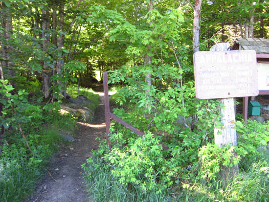
The Air Line trailhead at Appalachia
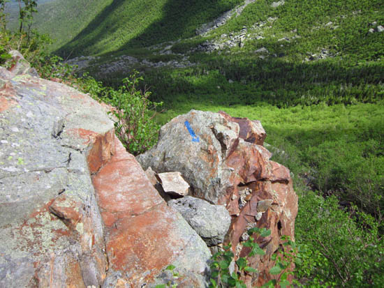
The Great Gully Trail
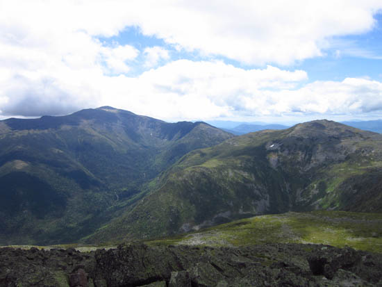
Mt. Washington and Mt. Jefferson as seen from the summit of Mt. Adams
The Star Lake Trail on the way to Mt. Madison
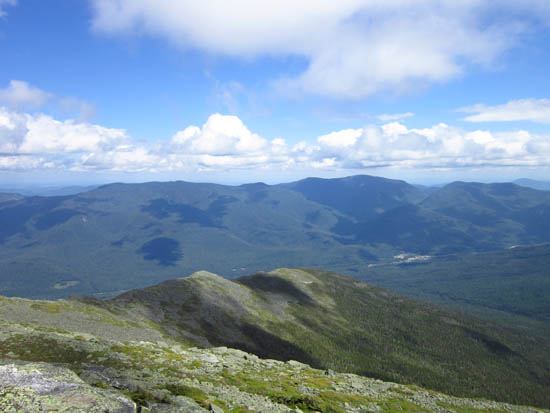
The Carters and Wildcats as seen from Mt. Madison
Directions to trailhead: Take US 2 West from Gorham to the Appalachia trailhead/parking lot.
Back to Mt. Adams Profile
Back to Mt. Madison Profile
|


