Home
States
Colorado
Connecticut
Maine
Massachusetts
New Hampshire
New York
Rhode Island
Utah
Vermont
View All
Lists
NE 4,000 Footers
NE 100 Highest
NH 4,000 Footers
NH 100 Highest
NH 52 With A View
NH Belknap Range
NH Ossipee 10
Links
Trail Conditions
Trip Log
Sunrises
Sunsets
About
|
Mt. Adams
Randolph, NH, Low and Burbank's Grant, NH, Thompson and Meserve's Purchase, NH
Trailheads, measurements, times, distances, and maps are all approximate and relative to the hike(s) as shown below.
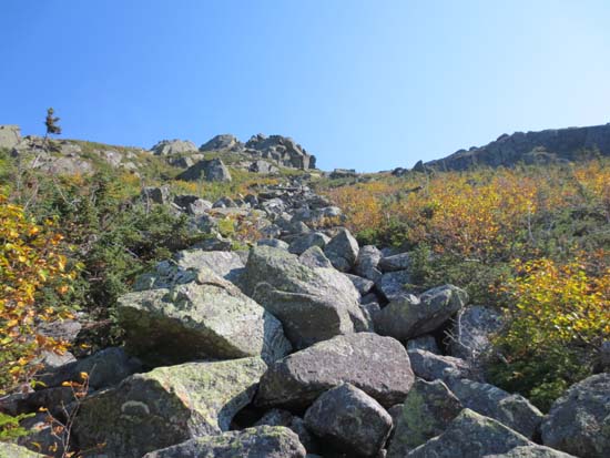
Looking up King Ravine
Route: The Link, Beechwood Way, Valley Way, Randolph Path, Short Line, King Ravine, Ice Caves Loop, King Ravine, Air Line, (Mt. Adams), Lowes Path, Spur Trail, Randolph Path, Amphibranch, Cliffway, Monaway, Ladderback Trail, Cliffway, Monaway, Ladderback Trail, Cliffway, The Link, woods road, Presidential Rail Trail
Minor to moderate mud on Link (between Cliffway and Beechwood Way), Cliffway, lower Monaway. Some slippery rock (though not particularly wet) on Ice Caves Loop. Took the woods road (essentially lower Beechwood Way) to Presidential Rail Trail, as it was well past sunset but I didn't want to put on my headlamp for the last section of The Link.
Other than when passing by the RMC hut, didn't see a single other person on the trails this afternoon or evening. Seasonably warm temperatures down low, but reasonable up high with gentle winds.
| Hike Ratings |
|
Getting To Trailhead: |
Easy |
| Destination: |
Mt. Adams |
|
Length: |
Moderate |
|
Steepness: |
Very Difficult |
|
Navigation: |
Moderate |
|
Views: |
Excellent |
|
Crowds: |
Minimal |
|
| Hike Stats |
|
Date Hiked: |
Thursday, September 13, 2012 |
| Parking Elevation: |
1,311' |
| Destination: |
Mt. Adams |
| Time Elapsed: |
04:35 |
| Trailhead Elevation: |
1,311' |
| Summit Elevation: |
5,774' |
| Vertical Gain: |
4,583' |
|
|
| Hike Time Elapsed: |
09:46 |
| Hike Vertical Gain: |
5,583' |
|
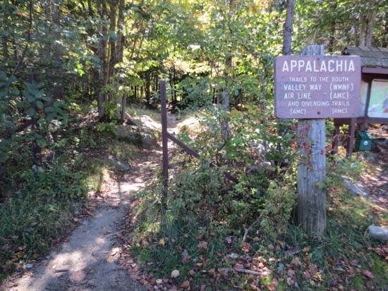
The Appalachia trailhead
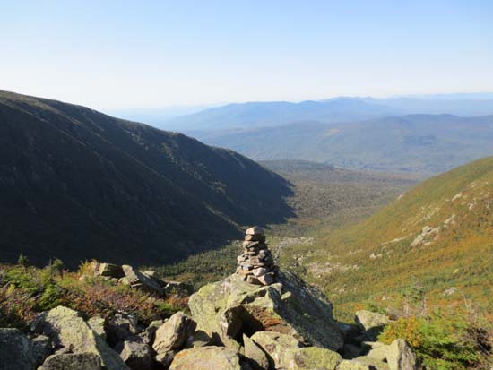
Looking down King Ravine
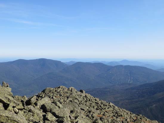
The Carters and Wildcats as seen from the summit of Mt. Adams
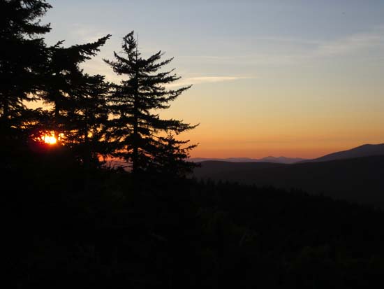
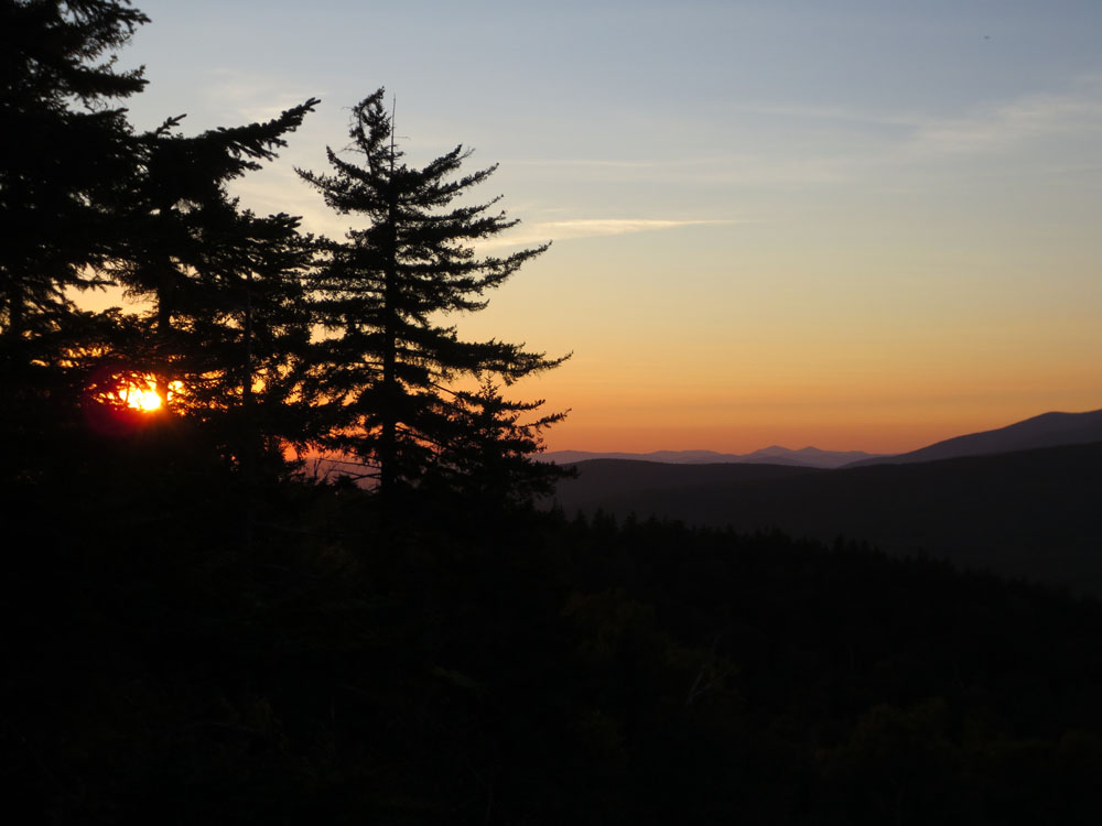
The sunset from White Cliff
Directions to trailhead: Take US 2 West from Gorham to the Appalachia trailhead/parking lot.
Back to Mt. Adams Profile
|