Home
States
Colorado
Connecticut
Maine
Massachusetts
New Hampshire
New York
Rhode Island
Utah
Vermont
View All
Lists
NE 4,000 Footers
NE 100 Highest
NH 4,000 Footers
NH 100 Highest
NH 52 With A View
NH Belknap Range
NH Ossipee 10
Links
Trail Conditions
Trip Log
Sunrises
Sunsets
About
|
Mt. Cardigan
Orange, NH
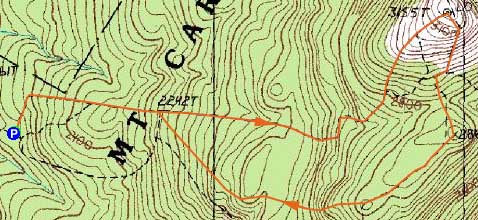
Trailheads, measurements, times, distances, and maps are all approximate and relative to the hike(s) as shown below.
Looking up the West Ridge Trail
Route: West Ridge Trail, (Mt. Cardigan), Clark Trail, South Ridge Trail
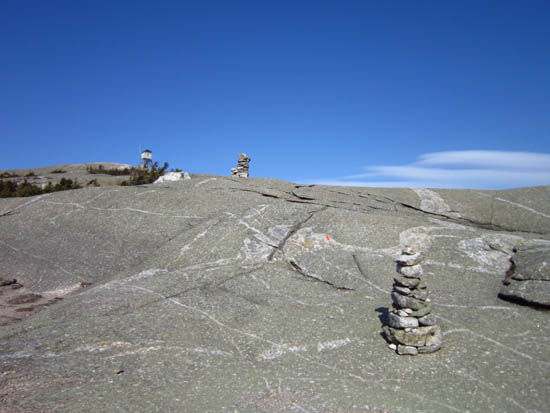
Blue sky day for a jog. West Ridge Trail was virtually snow/ice free and pretty dry. Nice views from South Peak as well. South Ridge Trail was rather steep on the descent in a few places.
| Hike Ratings |
|
Getting To Trailhead: |
Easy |
| Destination: |
Mt. Cardigan |
|
Length: |
Moderate |
|
Steepness: |
Moderate |
|
Navigation: |
Easy |
|
Views: |
Excellent |
|
Crowds: |
Moderate |
|
| Hike Stats |
|
Date Hiked: |
Friday, April 13, 2012 |
| Parking Elevation: |
1,760' |
| Destination: |
Mt. Cardigan |
| Time Elapsed: |
00:28 |
| Trailhead Elevation: |
1,760' |
| Summit Elevation: |
3,155' |
| Distance: |
1.5 miles |
| Vertical Gain: |
1,430' |
|
|
| Hike Time Elapsed: |
01:31 |
| Hike Vertical Gain: |
1,545' |
|
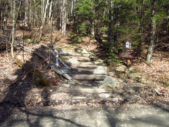
The West Ridge Trail trailhead

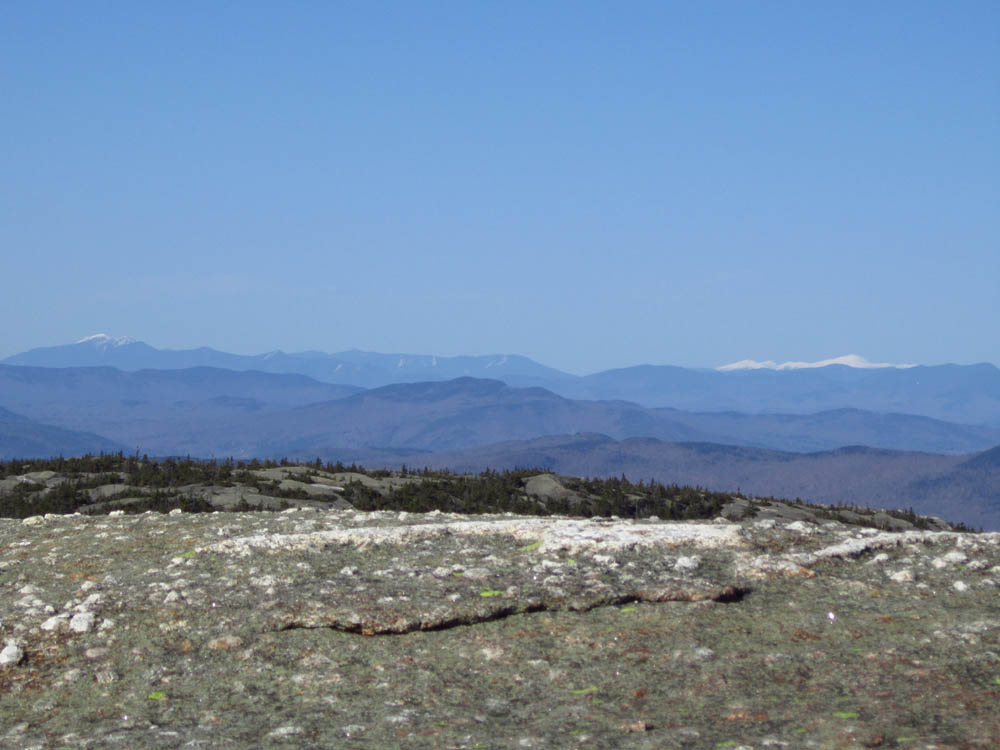
Looking at the snowcapped Franconia and Presidential ranges from Mt. Cardigan

Directions to trailhead: Take Burnt Hill Road up to the green Cardigan Mtn post next to the access road gate. If access road is closed, park across the road from the gate; otherwise, there is parking at the picnic area.
Back to Mt. Cardigan Profile
|