Home
States
Colorado
Connecticut
Maine
Massachusetts
New Hampshire
New York
Rhode Island
Utah
Vermont
View All
Lists
NE 4,000 Footers
NE 100 Highest
NH 4,000 Footers
NH 100 Highest
NH 52 With A View
NH Belknap Range
NH Ossipee 10
Links
Trail Conditions
Trip Log
Sunrises
Sunsets
About
|
Mt. Cardigan
Orange, NH
Trailheads, measurements, times, distances, and maps are all approximate and relative to the hike(s) as shown below.
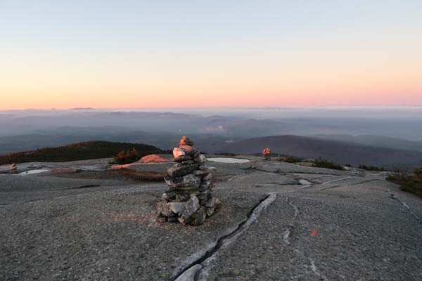
Looking down the West Ridge Trail
Route: Jeep road, West Ridge Trail
Jeep road and West Ridge Trail were damp this morning with wet leaves, some mud, and some wet ledge. No ice or snow encountered this morning.
| Hike Ratings |
|
Getting To Trailhead: |
Easy |
| Destination: |
Mt. Cardigan |
|
Length: |
Moderate |
|
Steepness: |
Moderate |
|
Navigation: |
Easy |
|
Views: |
Excellent |
|
Crowds: |
Minimal |
|
| Hike Stats |
|
Date Hiked: |
Friday, November 18, 2016 |
| Parking Elevation: |
1,760' |
| Destination: |
Mt. Cardigan |
| Time Elapsed: |
00:30 |
| Trailhead Elevation: |
1,760' |
| Summit Elevation: |
3,155' |
| Vertical Gain: |
1,395' |
|
|
| Hike Time Elapsed: |
01:12 |
| Hike Vertical Gain: |
1,435' |
|
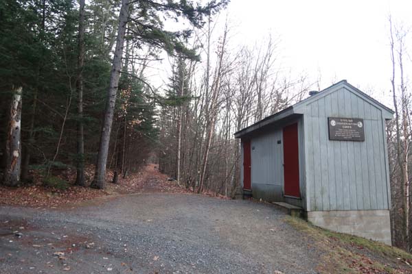
The start of the Jeep Road
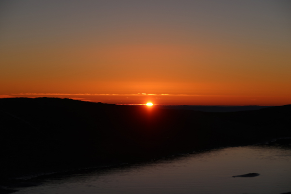
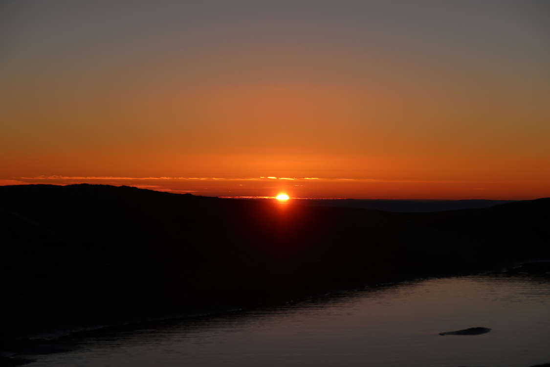
The sunrise from Mt. Cardigan
Directions to trailhead: Take Burnt Hill Road up to the green Cardigan Mtn post next to the access road gate. If access road is closed, park across the road from the gate; otherwise, there is parking at the picnic area. The old Jeep Road starts to the right of the West Ridge Trail.
Back to Mt. Cardigan Profile
|