Home
States
Colorado
Connecticut
Maine
Massachusetts
New Hampshire
New York
Rhode Island
Utah
Vermont
View All
Lists
NE 4,000 Footers
NE 100 Highest
NH 4,000 Footers
NH 100 Highest
NH 52 With A View
NH Belknap Range
NH Ossipee 10
Links
Trail Conditions
Trip Log
Sunrises
Sunsets
About
|
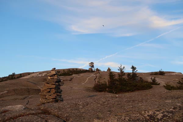
Mt. Cardigan
Orange, NH
Trailheads, measurements, times, distances, and maps are all approximate and relative to the hike(s) as shown below.
Looking up the West Ridge Trail
Route: West Ridge Trail
Trail was wet from the recent three day monsoon with some areas of pooled and running water. Some wet ledge immediately above the bridge, but ledges above treeline were mostly dry. Encountered no snow or ice. A few areas of late fall foliage colors.
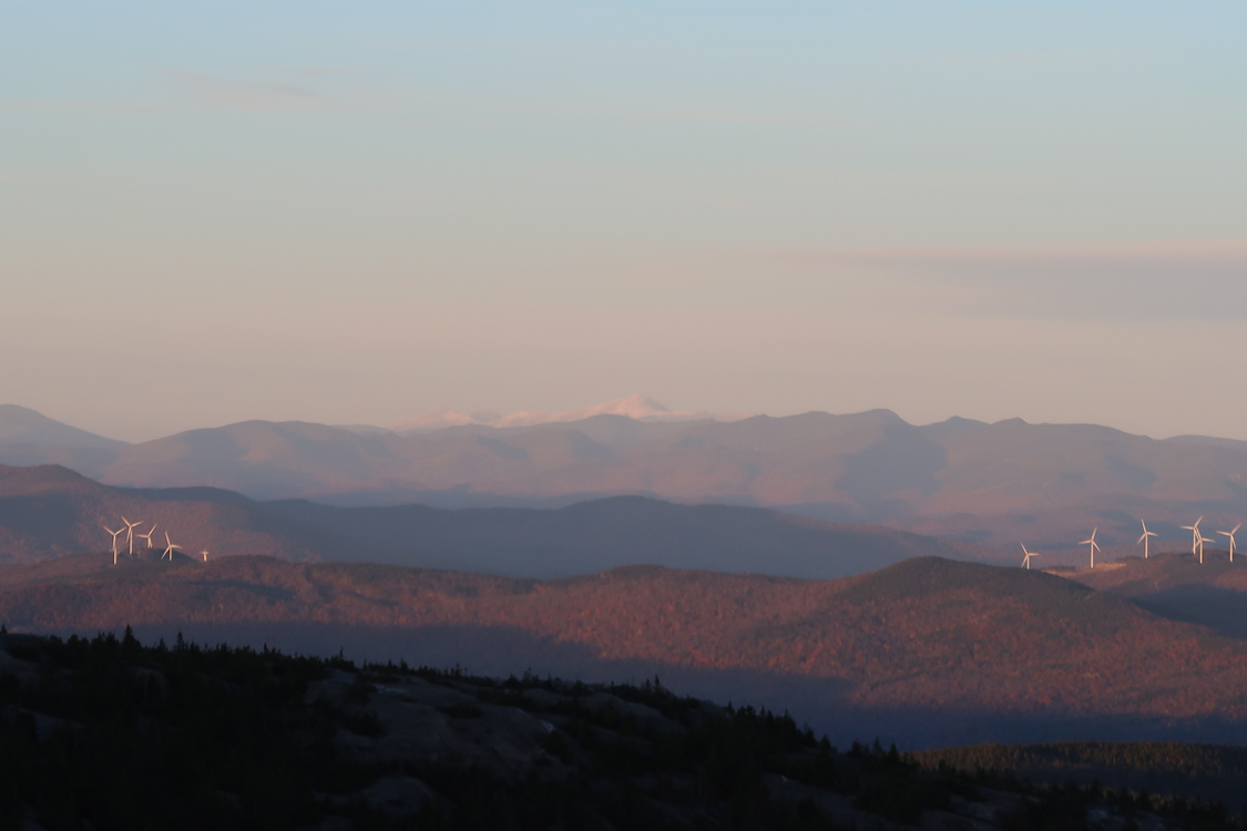
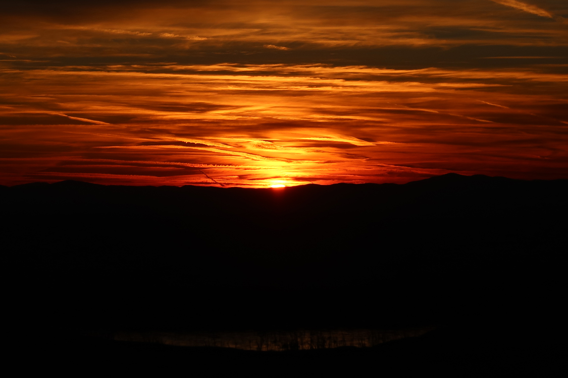
Chilly sunset, but neat to see the snowcapped Franconia Ridge and Presidential Range (as well as a little on Moosilauke).
| Hike Ratings |
|
Getting To Trailhead: |
Easy |
| Destination: |
Mt. Cardigan |
|
Length: |
Moderate |
|
Steepness: |
Moderate |
|
Navigation: |
Easy |
|
Views: |
Excellent |
|
Crowds: |
Minimal |
|
| Hike Stats |
|
Date Hiked: |
Friday, October 27, 2017 |
| Parking Elevation: |
1,760' |
| Destination: |
Mt. Cardigan |
| Time Elapsed: |
00:29 |
| Trailhead Elevation: |
1,760' |
| Summit Elevation: |
3,155' |
| Distance: |
1.5 miles |
| Vertical Gain: |
1,430' |
|
|
| Hike Time Elapsed: |
01:29 |
| Hike Vertical Gain: |
1,465' |
|
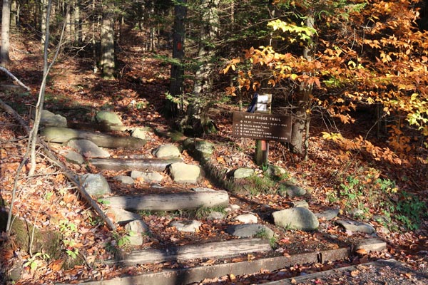
The West Ridge Trail trailhead
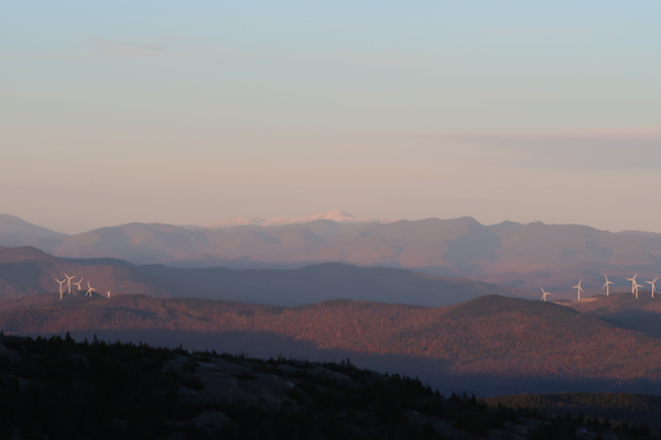
Looking at the snowcapped Presidentials from Mt. Cardigan

The sunset as seen from Mt. Cardigan
Directions to trailhead: Take Burnt Hill Road up to the green Cardigan Mtn post next to the access road gate. If access road is closed, park across the road from the gate; otherwise, there is parking at the picnic area.
Back to Mt. Cardigan Profile
|