Home
States
Colorado
Connecticut
Maine
Massachusetts
New Hampshire
New York
Rhode Island
Utah
Vermont
View All
Lists
NE 4,000 Footers
NE 100 Highest
NH 4,000 Footers
NH 100 Highest
NH 52 With A View
NH Belknap Range
NH Ossipee 10
Links
Trail Conditions
Trip Log
Sunrises
Sunsets
About
|
Mt. Cube
Orford, NH
Trailheads, measurements, times, distances, and maps are all approximate and relative to the hike(s) as shown below.
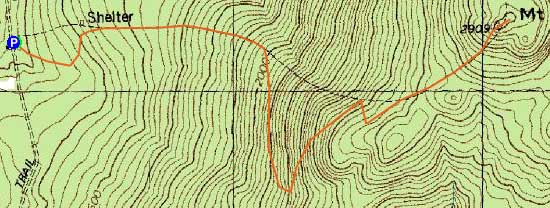
The Cross-Rivendell Trail
Route: Cross Rivendell Trail
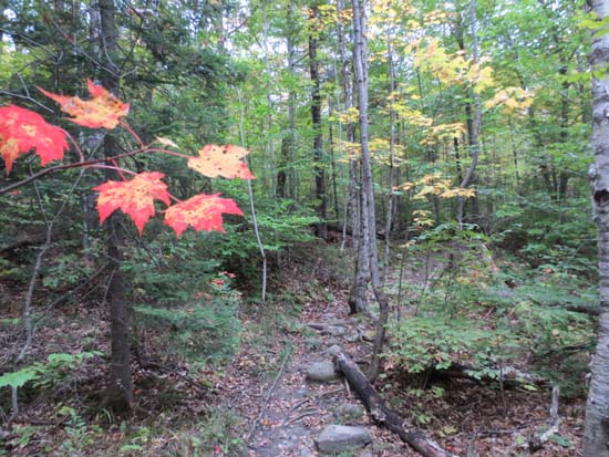
Lower half of the trail was mostly dry and in good shape. The upper half of the trail had quite a few minor mud patches and some wet ledge.
Brisk conditions on the summit. The North Peak Side Trail was better maintained than I remember it from a few years ago. Didn't get the full extent of those views tonight due to the fog, but had a neat sunset on the south ledges whilst the fog was dropping.
| Hike Ratings |
|
Getting To Trailhead: |
Easy |
| Destination: |
Mt. Cube |
|
Length: |
Moderate |
|
Steepness: |
Difficult |
|
Navigation: |
Easy |
|
Views: |
Excellent |
|
Crowds: |
Minimal |
|
| Hike Stats |
|
Date Hiked: |
Wednesday, September 25, 2013 |
| Parking Elevation: |
1,380' |
| Destination: |
Mt. Cube |
| Time Elapsed: |
00:45 |
| Trailhead Elevation: |
1,380' |
| Summit Elevation: |
2,909' |
| Distance: |
2 miles |
| Vertical Gain: |
1,604' |
|
|
| Hike Time Elapsed: |
02:32 |
| Hike Vertical Gain: |
1,679' |
|
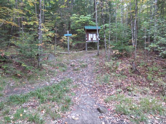
The Cross-Rivendell trailhead on Baker Road

Looking west at Killington and Pico from the southern Mt. Cube ledges

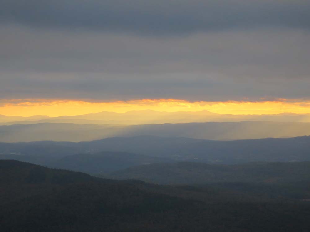
The sunset from the southern Mt. Cube ledges

Directions to trailhead: From Route 25 in Wentworth, take Route 25A west. Shortly after driving past Mt. Cube, take a left onto Baker Road. The Cross Rivendell Trail will eventually cross the trail, with the Mt. Cube section being further up the road. There is limited room to park next to the trailhead.
Back to Mt. Cube Profile
|