Home
States
Colorado
Connecticut
Maine
Massachusetts
New Hampshire
New York
Rhode Island
Utah
Vermont
View All
Lists
NE 4,000 Footers
NE 100 Highest
NH 4,000 Footers
NH 100 Highest
NH 52 With A View
NH Belknap Range
NH Ossipee 10
Links
Trail Conditions
Trip Log
Sunrises
Sunsets
About
|
Mt. Cube
Orford, NH
Trailheads, measurements, times, distances, and maps are all approximate and relative to the hike(s) as shown below.
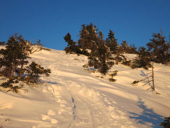
The Cross-Rivendell Trail near the summit
Route: Cross Rivendell Trail
Trail was a well packed snowshoe highway all the way to the summit. Tracks also heading northbound, likely to the north peak ledges (did not see any tracks at the AT crossing on Route 25A). No tracks heading to Smarts Mountain either.
Snowpack probably ranges from 20 to 30 inches.
| Hike Ratings |
|
Getting To Trailhead: |
Easy |
| Destination: |
Mt. Cube |
|
Length: |
Moderate |
|
Steepness: |
Difficult |
|
Navigation: |
Easy |
|
Views: |
Excellent |
|
Crowds: |
Minimal |
|
| Hike Stats |
|
Date Hiked: |
Monday, February 17, 2014 |
| Parking Elevation: |
1,380' |
| Destination: |
Mt. Cube |
| Time Elapsed: |
01:11 |
| Trailhead Elevation: |
1,380' |
| Summit Elevation: |
2,909' |
| Distance: |
2 miles |
| Vertical Gain: |
1,604' |
|
|
| Hike Time Elapsed: |
02:28 |
| Hike Vertical Gain: |
1,679' |
|
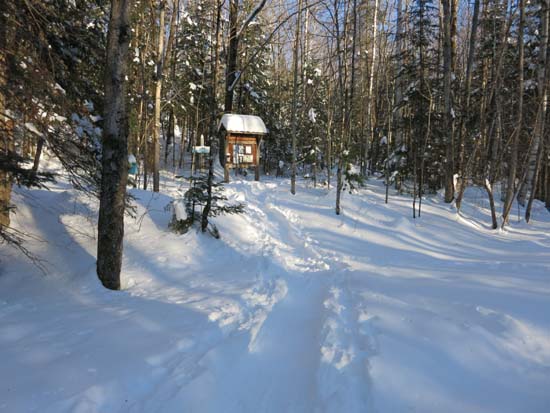
The Cross-Rivendell trailhead on Baker Road

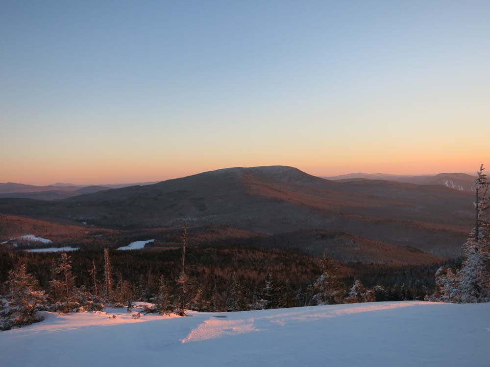
Looking south at Smarts Mountain from the southern Mt. Cube ledges
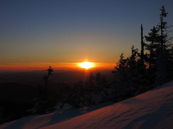
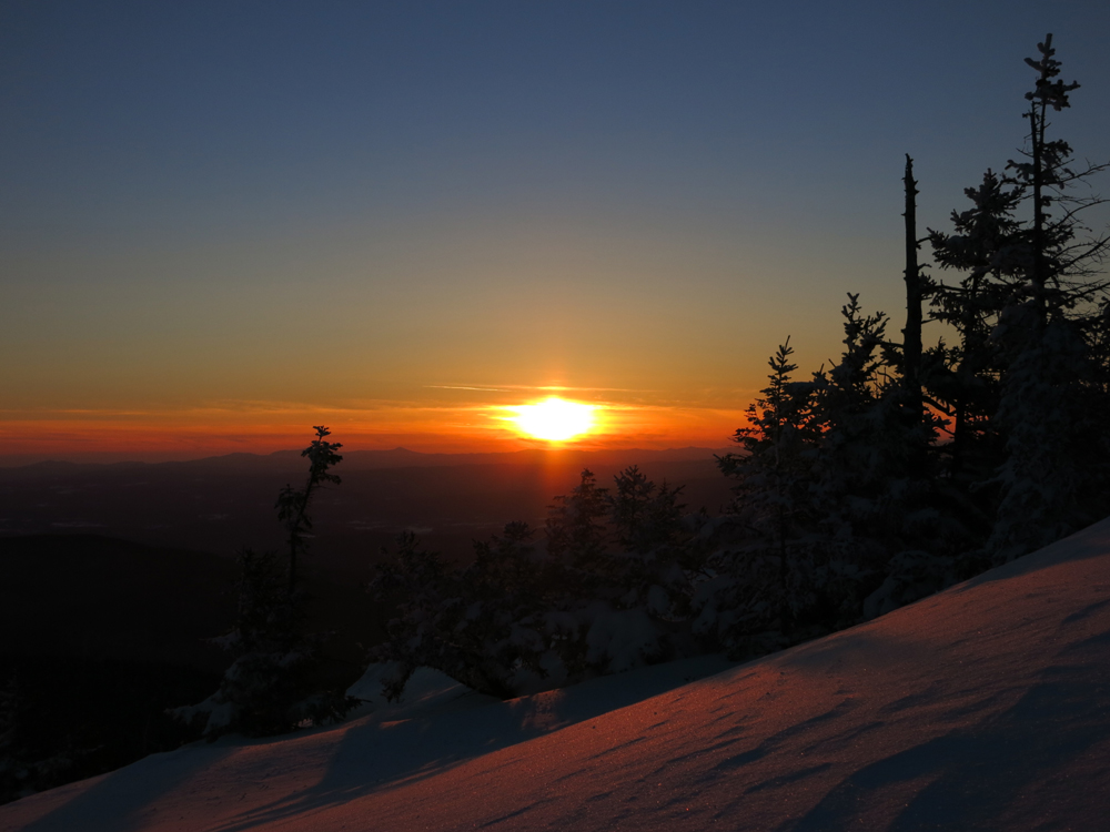
The sunset from the southern Mt. Cube ledges
Directions to trailhead: From Route 25 in Wentworth, take Route 25A west. Shortly after driving past Mt. Cube, take a left onto Baker Road. The Cross Rivendell Trail will eventually cross the trail, with the Mt. Cube section being further up the road. In winter 2013-14, there was a plowed turnaround area about 1/10 of a mile before the Mt. Cube section trailhead.
Back to Mt. Cube Profile
|