Home
States
Colorado
Connecticut
Maine
Massachusetts
New Hampshire
New York
Rhode Island
Utah
Vermont
View All
Lists
NE 4,000 Footers
NE 100 Highest
NH 4,000 Footers
NH 100 Highest
NH 52 With A View
NH Belknap Range
NH Ossipee 10
Links
Trail Conditions
Trip Log
Sunrises
Sunsets
About
|
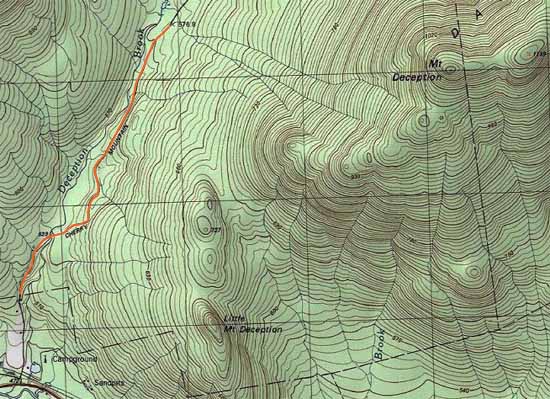
Mt. Deception
Carroll, NH, Low and Burbanks Grant, NH
Trailheads, measurements, times, distances, and maps are all approximate and relative to the hike(s) as shown below.
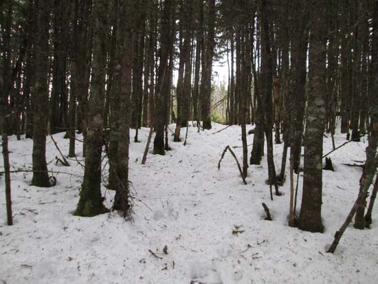
The abandoned trail near the summit of Mt. Deception
Route: Bushwhack
Gated Cherry Mountain Road roadwalk (vast majority of which is a snowmobile corridor) was generally packed snow and could have been booted.
We hopped into the woods at camp site 6, which is a little under 2 miles from the gate. Initial snowpack was a foot of spring snow granular with a slight set up crust on top (lower elevations softening with the mid day sun). Pretty good going if light on your feet, but vexing if more than 150 pounds in weight.
Snow depths increased to 2 feet in places higher up. For the ascent, we climbed up the steep false peak cone to get views, but bypassed it to the north on the descent. From the false peak to the recognized summit, we initially stayed north of the ridge, then rejoined the height of land in the saddle to skirt some blowdown.
All in all, pretty smooth sailing, skirting any thick woods or blowdowns. Just enough snowpack to cover up the junk. Smooth snowshoeing conditions roundtrip.
| Hike Ratings |
|
Getting To Trailhead: |
Difficult |
| Destination: |
Mt. Deception |
|
Length: |
Moderate |
|
Steepness: |
Difficult |
|
Navigation: |
Difficult |
|
Views: |
Minimal |
|
Crowds: |
Minimal |
|
| Hike Stats |
|
Date Hiked: |
Friday, December 26, 2014 |
| Parking Elevation: |
1,680' |
| Time To Trailhead: |
00:41 |
| Destination: |
Mt. Deception |
| Time Elapsed: |
02:25 |
| Trailhead Elevation: |
1,900' |
| Summit Elevation: |
3,671' |
| Vertical Gain: |
1,921' |
|
|
| Hike Time Elapsed: |
05:39 |
| Hike Vertical Gain: |
2,251' |
|
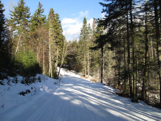
Cherry Mountain Road
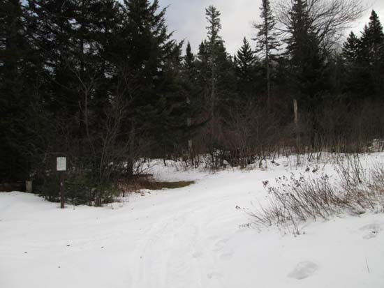
Camp site 6 on Cherry Mountain Road
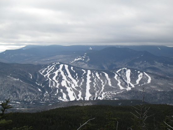
Bretton Woods as seen from the western subpeak of Mt. Deception

Directions to trailhead: Take US 302 East from Twin Mountain, then take a left onto Cherry Mountain Road. In winter, the road is gated 0.4 miles from US 302 and there is little room to park.
Back to Mt. Deception Profile
|


