Home
States
Colorado
Connecticut
Maine
Massachusetts
New Hampshire
New York
Rhode Island
Utah
Vermont
View All
Lists
NE 4,000 Footers
NE 100 Highest
NH 4,000 Footers
NH 100 Highest
NH 52 With A View
NH Belknap Range
NH Ossipee 10
Links
Trail Conditions
Trip Log
Sunrises
Sunsets
About
|
Mt. Osceola (East Peak)
Lincoln, NH, Livermore, NH
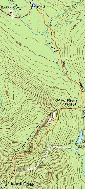
Trailheads, measurements, times, distances, and maps are all approximate and relative to the hike(s) as shown below.
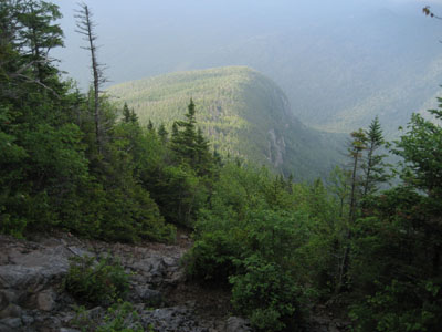
Looking down the Mt. Osceola Trail slide crossing
Route: Greeley Ponds Trail, Mt. Osceola Trail, (Mt. Osceola - East Peak), Mt. Osceola Trail, Greeley Ponds Trail
While the weather wasn't great, things did appear to be clearing up just a bit. Thus, I headed down the Kanc to hike East Osceola.
As seems to normally be the case, the Greeley Ponds Trail was muddy. The water crossings, a bit tricky in spring, were quite easy.
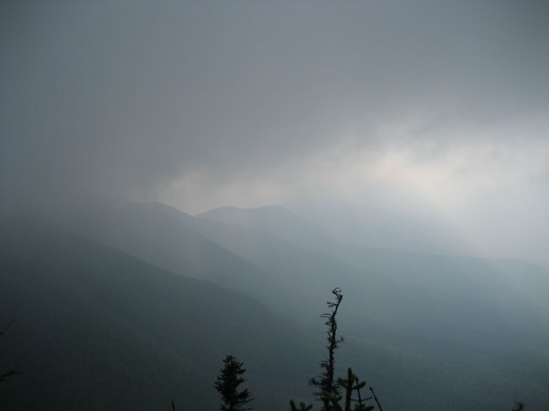
The Mt. Osceola Trail was generally dry, though the rocks were a bit slick. While there were some hazy views from the slide crossing, the summit was in a cloud.
| Hike Ratings |
|
Getting To Trailhead: |
Easy |
| Destination: |
Mt. Osceola (East Peak) |
|
Length: |
Moderate |
|
Steepness: |
Very Difficult |
|
Navigation: |
Easy |
|
Views: |
Minimal (due to weather) |
|
Crowds: |
Minimal |
|
| Hike Stats |
|
Date Hiked: |
Thursday, July 16, 2009 |
| Hike Commenced: |
4:03 PM |
| Parking Elevation: |
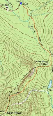
1,940' |
| Destination: |
Mt. Osceola (East Peak) |
| Ascent Commenced: |
4:03 PM |
| Summit Reached: |
5:38 PM |
| Time Elapsed: |
01:35 |
| Trailhead Elevation: |
1,940' |
| Summit Elevation: |
4,156' |
| Distance: |
2.8 miles |
| Vertical Gain: |
2,331' |
|
|
| Hike Ended: |
7:27 PM |
| Hike Time Elapsed: |
03:24 |
| Hike Distance: |
5.6 miles |
| Hike Vertical Gain: |
2,446' |
|
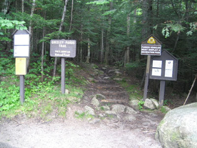
The Greeley Ponds Trail trailhead
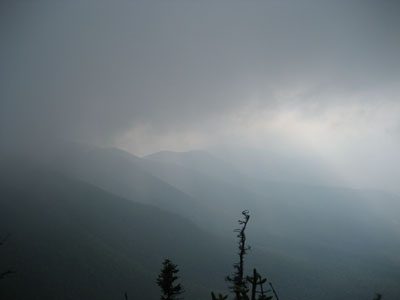
Slight northwestern views from the northern viewpoint on the East Peak's ridge

Directions to trailhead: Take Route 112 west from Conway. After passing the Hancock Trail trailhead and parking lot, the Greeley Ponds trailhead and WMNF fee parking area will be on the left a few minutes later.
Back to Mt. Osceola (East Peak) Profile
|