Home
States
Colorado
Connecticut
Maine
Massachusetts
New Hampshire
New York
Rhode Island
Utah
Vermont
View All
Lists
NE 4,000 Footers
NE 100 Highest
NH 4,000 Footers
NH 100 Highest
NH 52 With A View
NH Belknap Range
NH Ossipee 10
Links
Trail Conditions
Trip Log
Sunrises
Sunsets
About
|
Mt. Osceola (East Peak), Mt. Osceola
Lincoln, NH, Livermore, NH
Trailheads, measurements, times, distances, and maps are all approximate and relative to the hike(s) as shown below.
Looking up the Mt. Osceola Trail
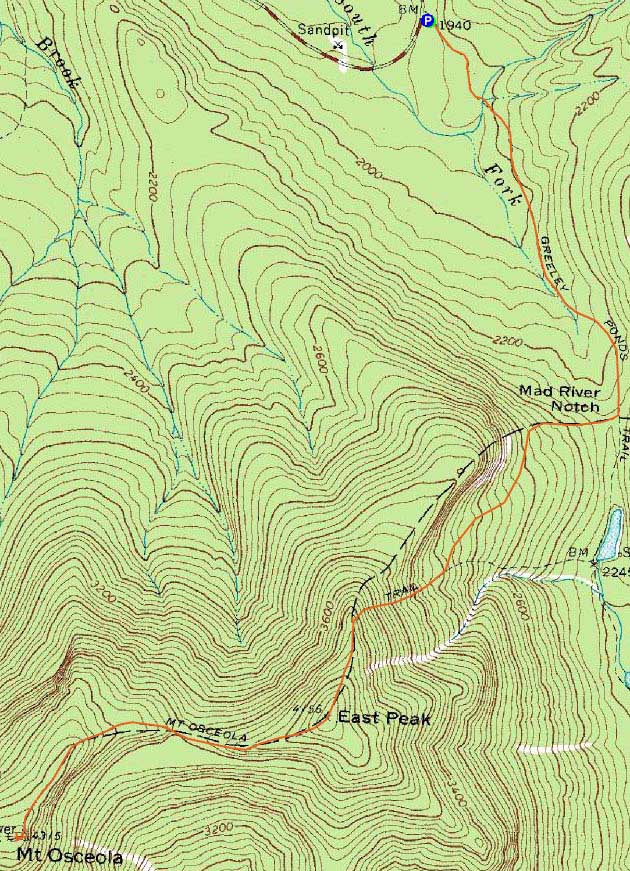
Route: Greeley Ponds Trail, Mt. Osceola Trail, (Mt. Osceola - East Peak), Mt. Osceola Trail, (Mt. Osceola), Mt. Osceola Trail, (Mt. Osceola - East Peak), Mt. Osceola Trail, Greeley Ponds Trail
With another subpar forecast, I decided to take advantage of the recent snow and head up the normally icy East Osceola ascent.
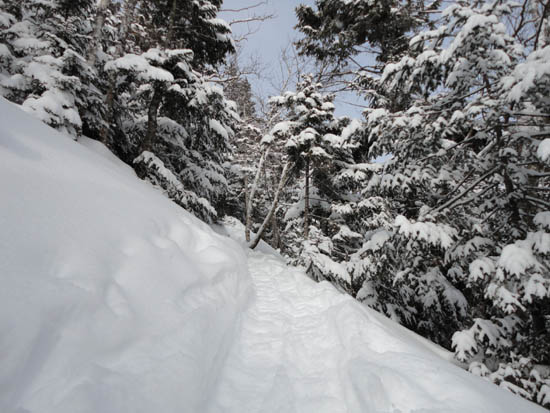
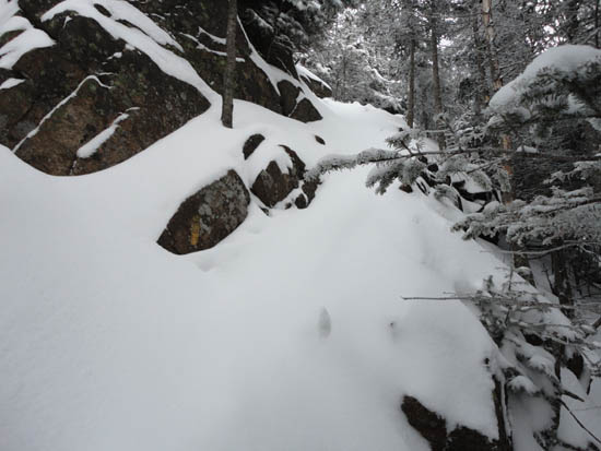
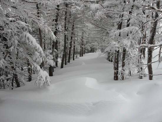
The Greeley Ponds Trail was smooth sailing on snowshoes. The steep climb up East Osceola was a little slippery due to the fresh powder on top of hardpack and ice, but nonetheless doable. Between the peaks, the chimney bypass was tricky with loose powder on top of patchy ice - I was glad I had brought my ice axe to help pull myself up. On either end of the bypass, there were extended drifted in areas.
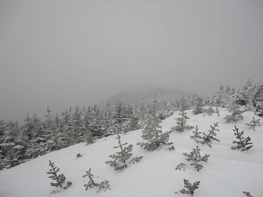
Like East Osceola, I had essentially no views from Osceola due to the weather. For the return trip, I ended up bushwhacking about 5-10 feet north of the chimney bypass and found a non-ledgy way to descend around it.
The descent off East Osceola was slippery with underlying ice, but fortunately there was enough padding with the powder.
| Hike Ratings |
|
Getting To Trailhead: |
Easy |
| Destination: |
Mt. Osceola (East Peak) |
|
Length: |
Moderate |
|
Steepness: |
Very Difficult |
|
Navigation: |
Easy |
|
Views: |
Minimal (due to weather) |
|
Crowds: |
Minimal |
| Destination: |
Mt. Osceola |
|
Length: |
Moderate |
|
Steepness: |
Very Difficult |
|
Navigation: |
Easy |
|
Views: |
Minimal (due to weather) |
|
Crowds: |
Minimal |
|
| Hike Stats |
|
Date Hiked: |
Sunday, February 27, 2011 |
| Parking Elevation: |
1,940' |
| Destination: |
Mt. Osceola (East Peak) |
| Time Elapsed: |
01:41 |
| Trailhead Elevation: |
1,940' |
| Summit Elevation: |
4,156' |
| Distance: |
2.8 miles |
| Vertical Gain: |
2,331' |
| Destination: |
Mt. Osceola |
| Time Elapsed: |
00:54 |
| Trailhead Elevation: |
4,156' |
| Summit Elevation: |
4,340' |
| Distance: |
1 mile |
| Vertical Gain: |
560' |
|
|
| Hike Time Elapsed: |
04:37 |
| Hike Distance: |
7.6 miles |
| Hike Vertical Gain: |
3,392' |
|
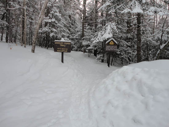
The Greeley Ponds Trail trailhead
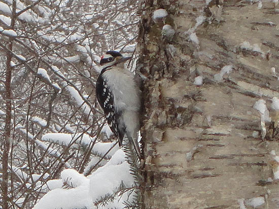
A woodpecker near the Mt. Osceola Trail

Clouds from East Osceola
The chimney bypass between the peaks
The drifted Mt. Osceola Trail between the east and main peak
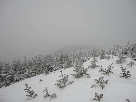
Clouds from Mt. Osceola
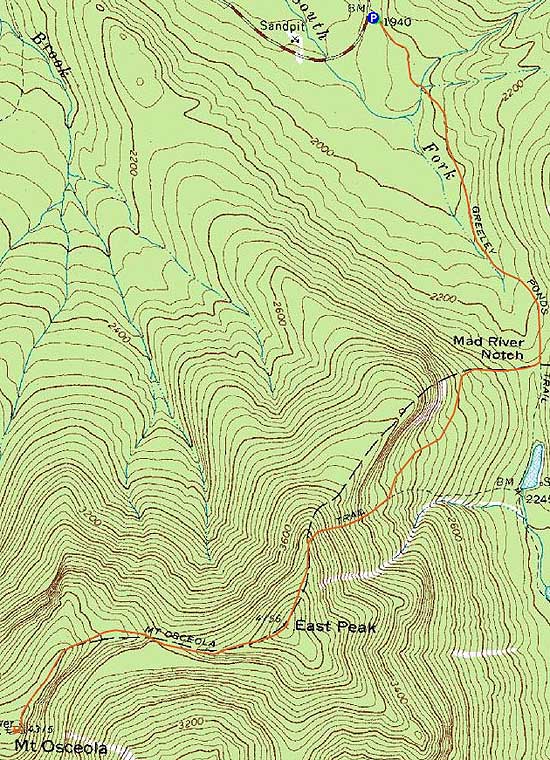

Directions to trailhead: Take Route 112 west from Conway. After passing the Hancock Trail trailhead and parking lot, the Greeley Ponds trailhead and WMNF fee parking area will be on the left a few minutes later.
Back to Mt. Osceola (East Peak) Profile
Back to Mt. Osceola Profile
|