Home
States
Colorado
Connecticut
Maine
Massachusetts
New Hampshire
New York
Rhode Island
Utah
Vermont
View All
Lists
NE 4,000 Footers
NE 100 Highest
NH 4,000 Footers
NH 100 Highest
NH 52 With A View
NH Belknap Range
NH Ossipee 10
Links
Trail Conditions
Trip Log
Sunrises
Sunsets
About
|
Mt. Eisenhower, Mt. Pierce, Mt. Jackson
Bean's Grant, NH, Chandler's Purchase, NH, Sargent's Purchase, NH
Trailheads, measurements, times, distances, and maps are all approximate and relative to the hike(s) as shown below.
The Crawford Path
Route: Crawford Path, Eisenhower Loop, (Mt. Eisenhower), Eisenhower Loop, Crawford Path, Webster Cliff Trail, (Mt. Pierce), Webster Cliff Trail, (Mt. Jackson), Webster-Jackson Trail
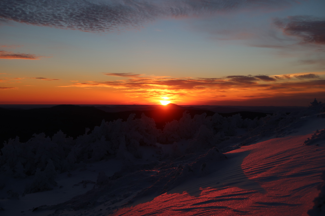
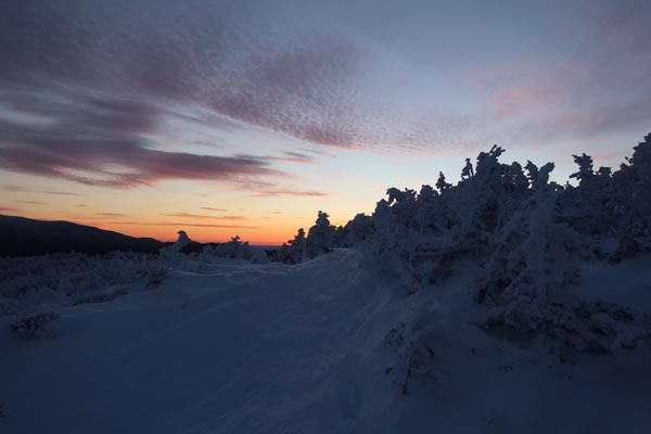
Crawford Path up to the Mizpah junction was well packed and a fairly smooth snowshoe. Some drifting above there early this morning. Snowpack of probably 1.5 to 3 feet. Nice sunrise from the shoulder of Pierce.
Significant drifting in places between Webster Cliff junction and Eisenhower Loop junction; it would have been very difficult to even attempt to boot it. Some drifts that appeared to have formed in the higher winds last night were over my head. Other areas were scoured down to ledge. Some trailfinding was necessary, so I was glad to exercise my trail memory in my dotage.
Eisenhower Loop had drifting down low and up high, but was also scoured to rock and ice on the southern facing portion. I almost swapped out my snowshoes on the step portion on my ascent, but kept them on when I saw the drifts ahead.
Webster Cliff Trail from Crawford Path to Pierce has a herd path on the east side of the ridge, presumably from booters trying to get around the drifts. I ascended through the drifts without issue with my snowshoes.
Webster Cliff Trail from Pierce to the Mizpah Hut had a good snowshoe track, though the steeps before the hut were getting beaten up from buttsliding.
Webster Cliff Trail from the hut to Jackson had a snowshoe track that wasn't too well packed. Also some drifting in places. And, courtesy a booter coming through later this morning, plenty of postholes.
Either side of the Jackson summit cone has some significant blue ice to contend with. My Flex Alps snowshoes allowed me to ascend and descend with care, but I don't know if I would have trusted my Microspikes.
Below the cone, there was a well packed out footbed, despite hoards of barebooters. A few experienced winter hikers were smoothing things out with their snowshoes. Around the split, things were more bony in part due to the eroded nature of the trail. Snowpack in the lower elevations on this side was closer to 1.5 feet. One could probably bareboot up to Bugle Cliff without much issue.
| Hike Ratings |
|
Getting To Trailhead: |
Easy |
| Destination: |
Mt. Eisenhower |
|
Length: |
Moderate |
|
Steepness: |
Moderate |
|
Navigation: |
Difficult |
|
Views: |
Excellent |
|
Crowds: |
Minimal |
| Destination: |
Mt. Pierce |
|
Length: |
Moderate |
|
Steepness: |
Moderate |
|
Navigation: |
Easy |
|
Views: |
Excellent |
|
Crowds: |
Minimal |
| Destination: |
Mt. Jackson |
|
Length: |
Difficult |
|
Steepness: |
Difficult |
|
Navigation: |
Easy |
|
Views: |
Excellent |
|
Crowds: |
Moderate |
|
| Hike Stats |
|
Date Hiked: |
Monday, January 2, 2017 |
| Parking Elevation: |
1,900' |
| Destination: |
Mt. Eisenhower |
| Time Elapsed: |
02:34 |
| Trailhead Elevation: |
1,910' |
| Summit Elevation: |
4,780' |
| Vertical Gain: |
3,300 |
| Destination: |
Mt. Pierce |
| Time Elapsed: |
00:57 |
| Trailhead Elevation: |
4,780' |
| Summit Elevation: |
4,310' |
| Vertical Gain: |
420' |
| Destination: |
Mt. Jackson |
| Time Elapsed: |
01:22 |
| Trailhead Elevation: |
4,310' |
| Summit Elevation: |
4,052' |
| Vertical Gain: |
558' |
|
|
| Hike Time Elapsed: |
06:39 |
| Hike Vertical Gain: |
4,463' |
|
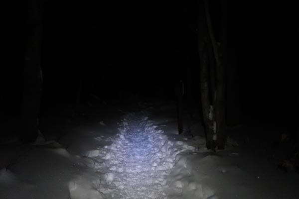
The Crawford Path trailhead
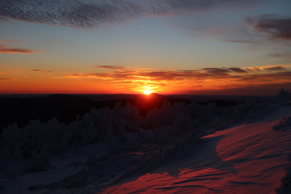
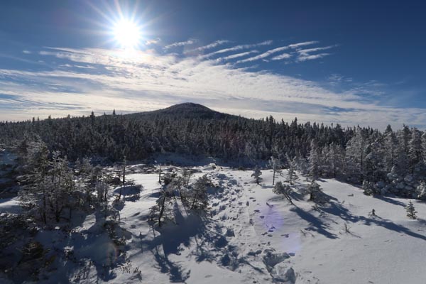
The sunrise from near the summit of Mt. Pierce
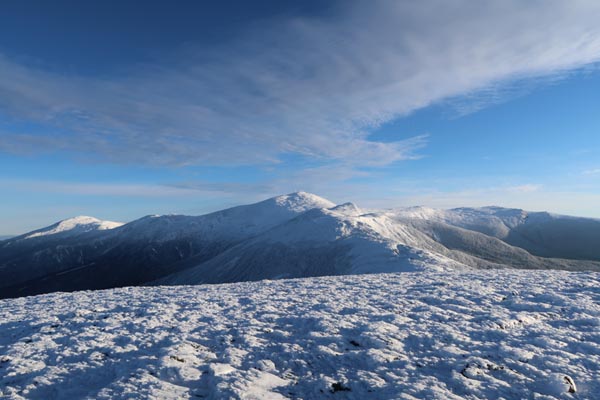
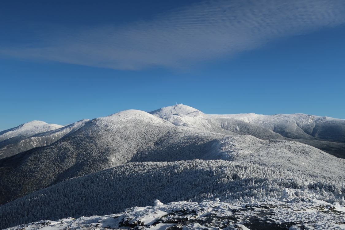
Looking at Mt. Washington from Mt. Eisenhower
Heading toward Mt. Pierce from Mt. Eisenhower

Looking at Mt. Eisenhower and Mt. Washington from Mt. Pierce
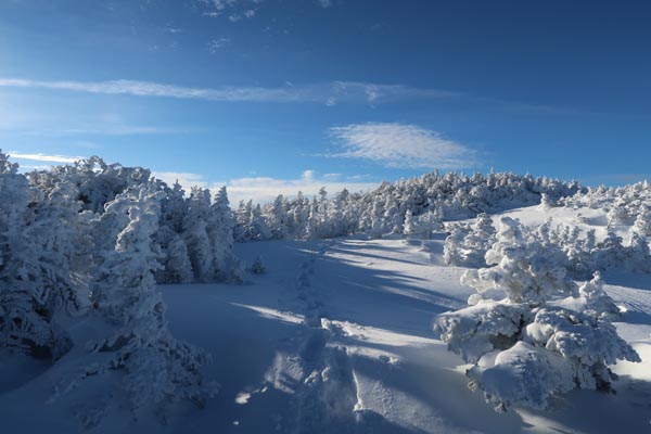
Looking up the Webster Cliff Trail near Mt. Jackson
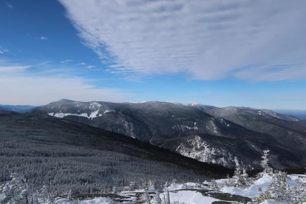
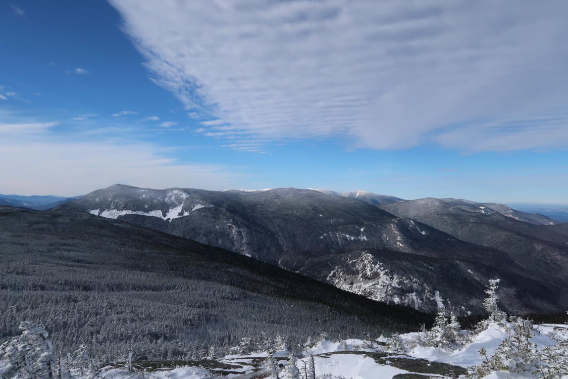
Looking at the Willey Range from Mt. Jackson
Directions to trailhead: Take Route 302 West from Bartlett into Carroll. The Highland Center parking lot is located on the left shortly after the Webster-Jackson trailhead (right). The Crawford Path trailhead is located just beyond the Highland Center parking lot, on the right.
Back to Mt. Eisenhower Profile
Back to Mt. Pierce Profile
Back to Mt. Jackson Profile
|