Home
States
Colorado
Connecticut
Maine
Massachusetts
New Hampshire
New York
Rhode Island
Utah
Vermont
View All
Lists
NE 4,000 Footers
NE 100 Highest
NH 4,000 Footers
NH 100 Highest
NH 52 With A View
NH Belknap Range
NH Ossipee 10
Links
Trail Conditions
Trip Log
Sunrises
Sunsets
About
|
Mt. Hancock (North Peak), Mt. Hancock (South Peak)
Lincoln, NH, Livermore, NH
Trailheads, measurements, times, distances, and maps are all approximate and relative to the hike(s) as shown below.
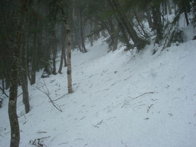
Looking up the Hancock Loop Trail on the way to the north peak
Route: Hancock Notch Trail, Cedar Brook Trail, Hancock Loop Trail, (Mt. Hancock North Peak), Hancock Loop Trail, (Mt. Hancock South Peak), Hancock Loop Trail, Cedar Brook Trail, Hancock Notch Trail
With a mediocre weather forecast, the Hancocks seemed to be a good fit. Though I'm not really working on the winter 48 list, I don't mind picking up a few here and there. While the roads were a bit icy due to some freezing rain, I was able to nonetheless get up and over the Kanc pass and to the Hancock parking area.
After crossing the road and putting on our snowshoes, we were soon on our way down the Hancock Notch Trail, which was fortunately broken out. Reality set in, however, when we reached the Cedar Brook Trail - not broken out! We followed a spur path around the first two water crossings and then made our way over the others slowly, soon reaching the Hancock Loop Trail junction. From there, we headed up to the actual loop junction. This particular stretch of trail seemed a bit longer than I had remembered.
Once we regrouped at the junction, we descended to the brook crossing and then started the very steep ascent up to the north peak. While breaking trail to this point hadn't been overly taxing, trying to pull oneself up the steep terrain with somewhat deep, crusted granular in the rain was not particularly the highlight of the hike. The trail seemed to keep going and going prior to finally reaching the summit. Due to the weather, there was nothing to see from the wet, windy summit.
After regrouping again, we started our way across the ridge. Though not nearly as challenging as breaking out the ascent, some drifted areas certainly slowed things down a bit. Like the north peak, there weren't going to be any views from the south peak in this weather.
Once we were finished snacking, we started a somewhat quick descent down the southern part of the loop and then to the Cedar Brook Trail. From there, we went direct back to the parking lot, driven by the prospect of warm, dry clothes and amazing baked goods.
| Hike Ratings |
|
Getting To Trailhead: |
Easy |
| Destination: |
Mt. Hancock (North Peak) |
|
Length: |
Difficult |
|
Steepness: |
Very Difficult |
|
Navigation: |
Easy |
|
Views: |
Minimal (due to weather) |
|
Crowds: |
Moderate |
| Destination: |
Mt. Hancock (South Peak) |
|
Length: |
Difficult |
|
Steepness: |
Difficult |
|
Navigation: |
Easy |
|
Views: |
Minimal (due to weather) |
|
Crowds: |
Moderate |
|
| Hike Stats |
|
Date Hiked: |
Saturday, December 27, 2008 |
| Hike Commenced: |
7:42 AM |
| Parking Elevation: |
2,140' |
| Destination: |
Mt. Hancock (North Peak) |
| Ascent Commenced: |
7:42 AM |
| Summit Reached: |
11:53 AM |
| Time Elapsed: |
04:11 |
| Trailhead Elevation: |
2,140' |
| Summit Elevation: |
4,420' |
| Vertical Gain: |
2,470' |
| Destination: |
Mt. Hancock (South Peak) |
| Ascent Commenced: |
11:59 AM |
| Summit Reached: |
1:04 PM |
| Time Elapsed: |
01:05 |
| Trailhead Elevation: |
4,420' |
| Summit Elevation: |
4,319' |
| Distance: |
1.4 miles |
| Vertical Gain: |
534' |
|
|
| Hike Ended: |
3:32 PM |
| Hike Time Elapsed: |
07:50 |
| Hike Vertical Gain: |
3,154' |
|
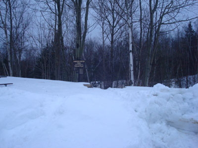
The Hancock Notch Trail trailhead
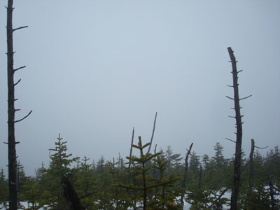
Looking into the clouds from Mt. Hancock's North Peak
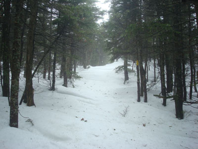
The drifted Hancock Loop Trail to Mt. Hancock's south peak
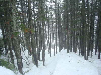
Looking through the trees at the clouds from the south peak
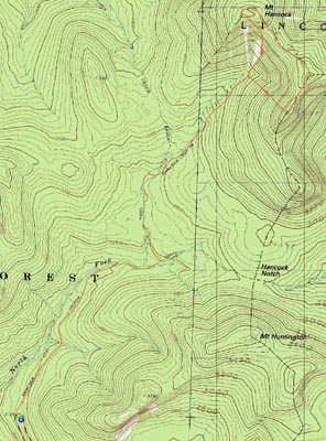

Directions to trailhead: Take Route 112 west from Route 16. After going over the pass, continue down hill a bit. The Hancock WMNF fee parking area will be on the left, just before a hairpin turn.
Back to Mt. Hancock (North Peak) Profile
Back to Mt. Hancock (South Peak) Profile
|