Home
States
Colorado
Connecticut
Maine
Massachusetts
New Hampshire
New York
Rhode Island
Utah
Vermont
View All
Lists
NE 4,000 Footers
NE 100 Highest
NH 4,000 Footers
NH 100 Highest
NH 52 With A View
NH Belknap Range
NH Ossipee 10
Links
Trail Conditions
Trip Log
Sunrises
Sunsets
About
|
Mt. Hancock (North Peak), Mt. Hancock (South Peak)
Lincoln, NH, Livermore, NH
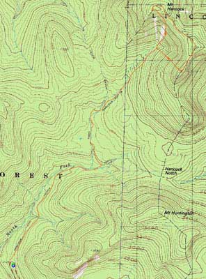
Trailheads, measurements, times, distances, and maps are all approximate and relative to the hike(s) as shown below.
The Cedar Brook Trail
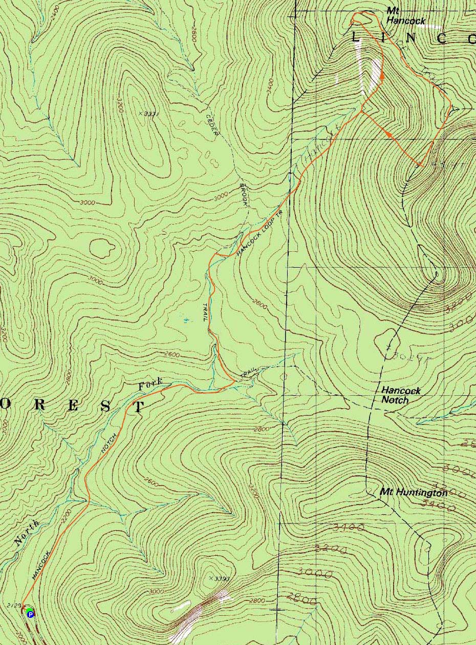
Route: Hancock Notch Trail, Cedar Brook Trail, Hancock Loop Trail, (Mt. Hancock North Peak), Hancock Loop Trail, (Mt. Hancock South Peak), Hancock Loop Trail, Cedar Brook Trail, Hancock Notch Trail
Another day of bad weather. Since my first two hikes of the Hancocks were in bad weather, I tend to think of them as the bad weather go to hike.
As expected with the numerous days of drizzle and rain leading up to the hike, as well as the showers and mist during the hike, things were pretty wet. Fortunately, the water crossings were all doable (albeit with wet boots).
While I was feeling a bit tired for much of the day, I was able to get up the north branch of the loop without too much fatigue. Reaching the summit of the north peak, the mist turned into light-wind-driven-rain. Head down, I trucked my way through the mud pits to the south peak.
The rain let up as I made my way back to the loop junction. By the time I reached the trailhead, I could see a sliver of blue sky to the west. Oh how the weather can change!
| Hike Ratings |
|
Getting To Trailhead: |
Easy |
| Destination: |
Mt. Hancock (North Peak) |
|
Length: |
Moderate |
|
Steepness: |
Very Difficult |
|
Navigation: |
Easy |
|
Views: |
Minimal (due to weather) |
|
Crowds: |
Minimal |
| Destination: |
Mt. Hancock (South Peak) |
|
Length: |
Moderate |
|
Steepness: |
Difficult |
|
Navigation: |
Easy |
|
Views: |
Minimal (due to weather) |
|
Crowds: |
Minimal |
|
| Hike Stats |
|
Date Hiked: |
Monday, June 22, 2009 |
| Hike Commenced: |
3:48 PM |
| Parking Elevation: |
2,140' |
| Destination: |
Mt. Hancock (North Peak) |
| Ascent Commenced: |
3:48 PM |
| Summit Reached: |
5:45 PM |
| Time Elapsed: |
01:57 |
| Trailhead Elevation: |
2,140' |
| Summit Elevation: |
4,420' |
| Vertical Gain: |
2,470' |
| Destination: |
Mt. Hancock (South Peak) |
| Ascent Commenced: |
5:46 PM |
| Summit Reached: |
6:21 PM |
| Time Elapsed: |
00:35 |
| Trailhead Elevation: |
4,420' |
| Summit Elevation: |
4,319' |
| Distance: |
1.4 miles |
| Vertical Gain: |
534' |
|
|
| Hike Ended: |
8:10 PM |
| Hike Time Elapsed: |
04:22 |
| Hike Vertical Gain: |
3,154' |
|
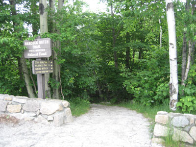
The Hancock Notch Trail trailhead

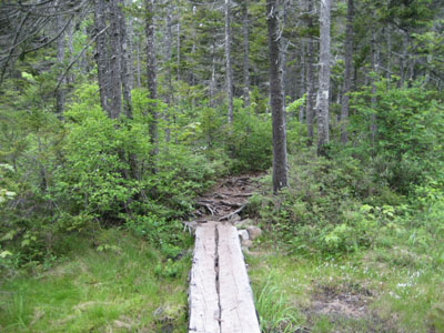
Flowers at the beginning of the Hancock Notch Trail
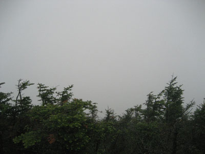
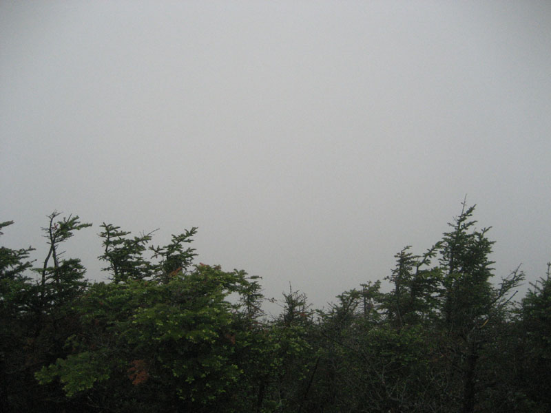
Clouds as seen from Mt. Hancock's North Peak viewpoint
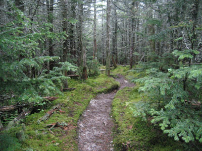
The Hancock Loop Trail on the way to Mt. Hancock's South Peak

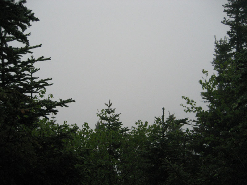
Clouds as seen from the viewpoint near Mt. Hancock's South Peak

Directions to trailhead: Take Route 112 west from Route 16. After going over the pass, continue down hill a bit. The Hancock WMNF fee parking area will be on the left, just before a hairpin turn.
Back to Mt. Hancock (North Peak) Profile
Back to Mt. Hancock (South Peak) Profile
|