Home
States
Colorado
Connecticut
Maine
Massachusetts
New Hampshire
New York
Rhode Island
Utah
Vermont
View All
Lists
NE 4,000 Footers
NE 100 Highest
NH 4,000 Footers
NH 100 Highest
NH 52 With A View
NH Belknap Range
NH Ossipee 10
Links
Trail Conditions
Trip Log
Sunrises
Sunsets
About
|
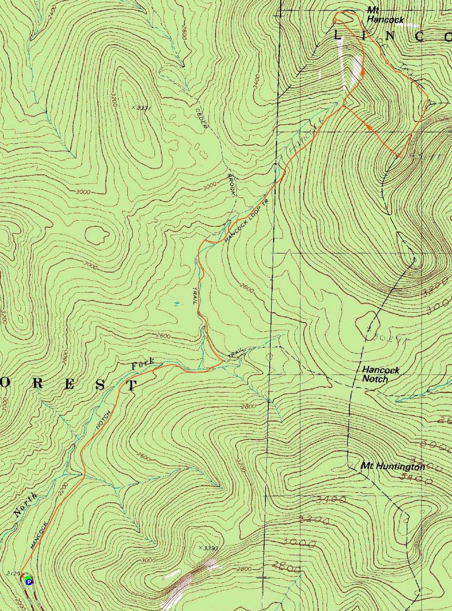
Mt. Hancock (North Peak), Mt. Hancock (South Peak)
Lincoln, NH, Livermore, NH
Trailheads, measurements, times, distances, and maps are all approximate and relative to the hike(s) as shown below.
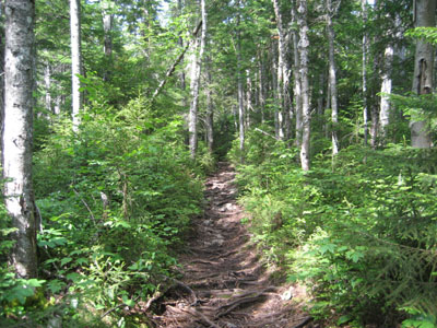
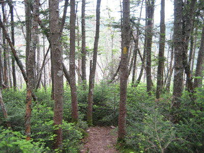
The lower portion of the Hancock Loop Trail
Route: Hancock Notch Trail, Cedar Brook Trail, Hancock Loop Trail, (Mt. Hancock North Peak), Hancock Loop Trail, (Mt. Hancock South Peak), Hancock Loop Trail, Cedar Brook Trail, Hancock Notch Trail
With blue skies departing, I decided to race the bad weather up the Hancocks and back. While it was sunny at the beginning of the hike, things darkened as I reached the loop split. Though the trails up to this point were a bit muddy in places (shocking!), the water crossings were pretty easily done.
Reaching the summit of North Hancock, I had some views from the outlook of incoming darker clouds.
As I worked my way over to the south peak, light rain started. Reaching the south outlook, I had vague views of the eastern Sandwich Range.
Fortunately the rain ceased as I descended - though this did bring out the mosquitoes a bit. Nonetheless, I made it back to the parking area without hearing any thunder.
| Hike Ratings |
|
Getting To Trailhead: |
Easy |
| Destination: |
Mt. Hancock (North Peak) |
|
Length: |
Moderate |
|
Steepness: |
Very Difficult |
|
Navigation: |
Easy |
|
Views: |
Excellent |
|
Crowds: |
Heavy |
| Destination: |
Mt. Hancock (South Peak) |
|
Length: |
Moderate |
|
Steepness: |
Difficult |
|
Navigation: |
Easy |
|
Views: |
Moderate (due to weather) |
|
Crowds: |
Minimal |
|
| Hike Stats |
|
Date Hiked: |
Friday, July 17, 2009 |
| Hike Commenced: |
2:56 PM |
| Parking Elevation: |
2,140' |
| Destination: |
Mt. Hancock (North Peak) |
| Ascent Commenced: |
2:57 PM |
| Summit Reached: |
4:51 PM |
| Time Elapsed: |
01:56 |
| Trailhead Elevation: |
2,140' |
| Summit Elevation: |
4,420' |
| Vertical Gain: |
2,470' |
| Destination: |
Mt. Hancock (South Peak) |
| Ascent Commenced: |
4:53 PM |
| Summit Reached: |
5:25 PM |
| Time Elapsed: |
00:32 |
| Trailhead Elevation: |
4,420' |
| Summit Elevation: |
4,319' |
| Distance: |
1.4 miles |
| Vertical Gain: |
534' |
|
|
| Hike Ended: |
7:22 PM |
| Hike Time Elapsed: |
04:26 |
| Hike Vertical Gain: |
3,154' |
|
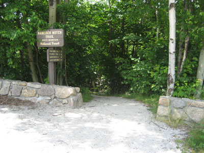
The Hancock Notch Trail trailhead
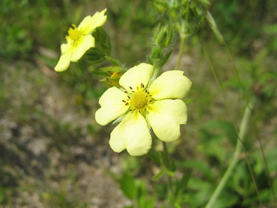
Flowers near the parking lot
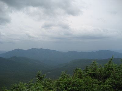
The Osceolas and Scar Ridge as seen from Mt. Hancock's North Peak viewpoint
Looking down the Hancock Loop Trail with Mt. Hancock's Middle Peak in the distance
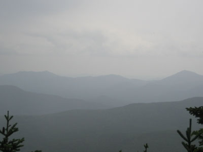
Looking at the eastern Sandwich Range from the viewpoint near Mt. Hancock's South Peak

Directions to trailhead: Take Route 112 west from Route 16. After going over the pass, continue down hill a bit. The Hancock WMNF fee parking area will be on the left, just before a hairpin turn.
Back to Mt. Hancock (North Peak) Profile
Back to Mt. Hancock (South Peak) Profile
|