Home
States
Colorado
Connecticut
Maine
Massachusetts
New Hampshire
New York
Rhode Island
Utah
Vermont
View All
Lists
NE 4,000 Footers
NE 100 Highest
NH 4,000 Footers
NH 100 Highest
NH 52 With A View
NH Belknap Range
NH Ossipee 10
Links
Trail Conditions
Trip Log
Sunrises
Sunsets
About
|
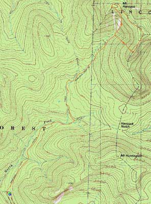
Mt. Hancock (North Peak), Mt. Hancock (South Peak)
Lincoln, NH, Livermore, NH
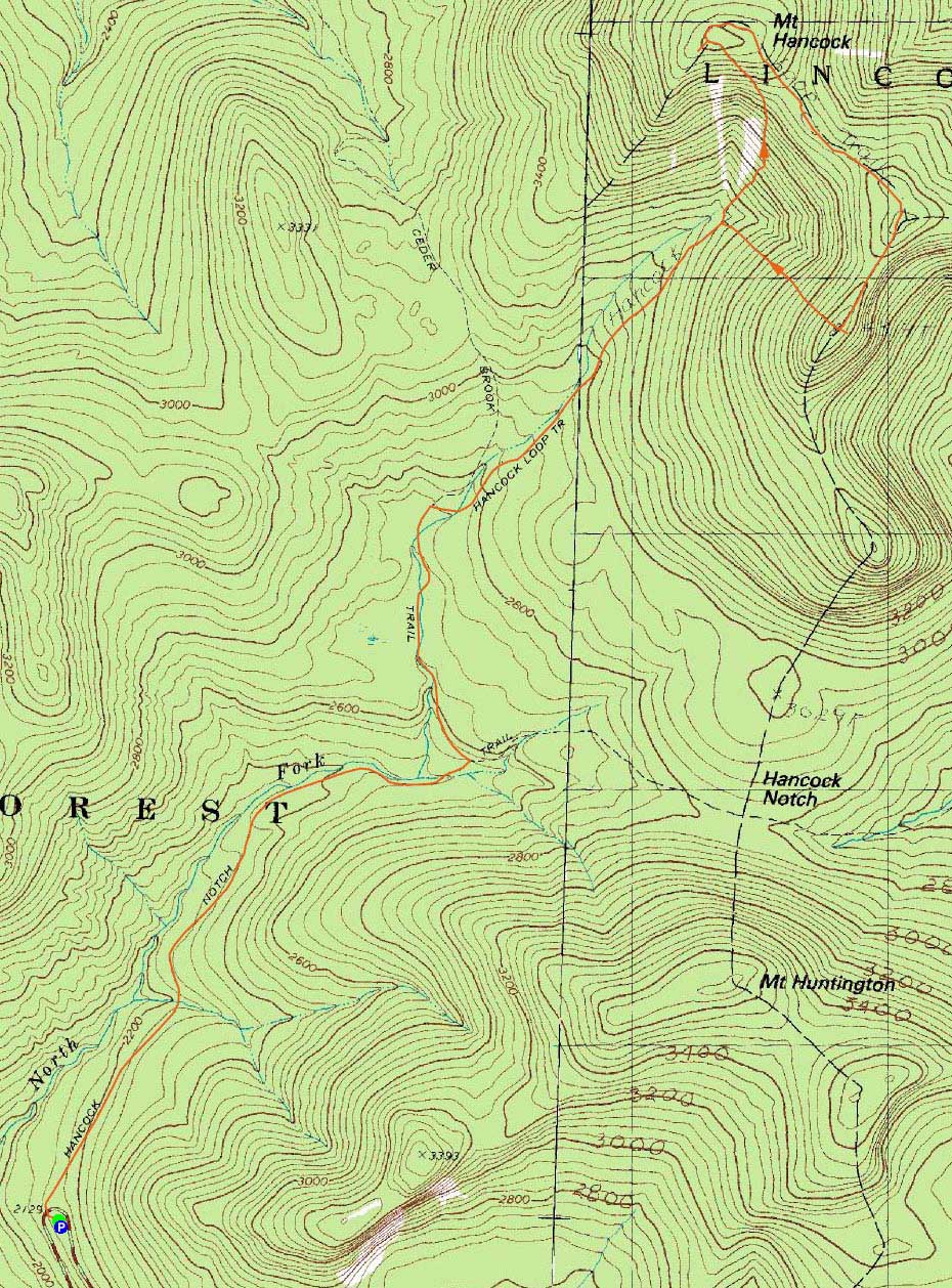
Trailheads, measurements, times, distances, and maps are all approximate and relative to the hike(s) as shown below.
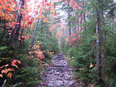
The lower portion of the Hancock Loop Trail
Route: Hancock Notch Trail, Cedar Brook Trail, Hancock Loop Trail, (Mt. Hancock North Peak), Hancock Loop Trail, (Mt. Hancock South Peak), Hancock Loop Trail, Cedar Brook Trail, Hancock Notch Trail
Though it was raining, I wanted to get some exercise. Thus, I took my chances with nasty, wet trail and headed to the Hancocks.
The Cedar Brook Trail crossings were surprisingly easily done - certainly a lot better than with spring run off. The Hancock Loop between the peaks was particularly nasty - already muddy in dry weather, it was a nasty swamp in the rain.
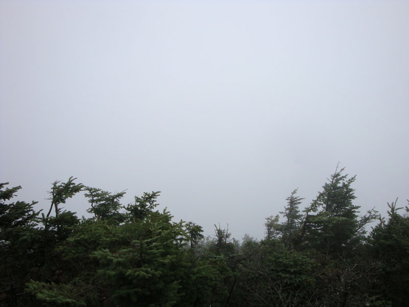
Nonetheless, even without any views from the peaks due to the weather, the foliage down low made things somewhat scenic.
| Hike Ratings |
|
Getting To Trailhead: |
Easy |
| Destination: |
Mt. Hancock (North Peak) |
|
Length: |
Moderate |
|
Steepness: |
Very Difficult |
|
Navigation: |
Easy |
|
Views: |
Minimal (due to weather) |
|
Crowds: |
Moderate |
| Destination: |
Mt. Hancock (South Peak) |
|
Length: |
Moderate |
|
Steepness: |
Difficult |
|
Navigation: |
Easy |
|
Views: |
Minimal (due to weather) |
|
Crowds: |
Minimal |
|
| Hike Stats |
|
Date Hiked: |
Saturday, October 3, 2009 |
| Hike Commenced: |
12:56 PM |
| Parking Elevation: |
2,140' |
| Destination: |
Mt. Hancock (North Peak) |
| Ascent Commenced: |
12:57 PM |
| Summit Reached: |
2:55 PM |
| Time Elapsed: |
01:58 |
| Trailhead Elevation: |
2,140' |
| Summit Elevation: |
4,420' |
| Vertical Gain: |
2,470' |
| Destination: |
Mt. Hancock (South Peak) |
| Ascent Commenced: |
2:56 PM |
| Summit Reached: |
3:34 PM |
| Time Elapsed: |
00:38 |
| Trailhead Elevation: |
4,420' |
| Summit Elevation: |
4,319' |
| Distance: |
1.4 miles |
| Vertical Gain: |
534' |
|
|
| Hike Ended: |
5:34 PM |
| Hike Time Elapsed: |
04:38 |
| Hike Vertical Gain: |
3,154' |
|
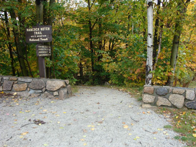
The Hancock Notch Trail trailhead
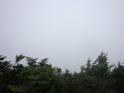
Cloud as seen from Mt. Hancock's North Peak viewpoint
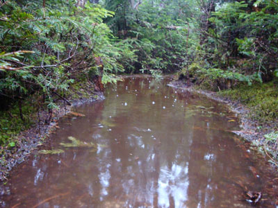
The wet Hancock Loop Trail

Cloud as seen from near Mt. Hancock's South Peak

Directions to trailhead: Take Route 112 west from Route 16. After going over the pass, continue down hill a bit. The Hancock WMNF fee parking area will be on the left, just before a hairpin turn.
Back to Mt. Hancock (North Peak) Profile
Back to Mt. Hancock (South Peak) Profile
|