Home
States
Colorado
Connecticut
Maine
Massachusetts
New Hampshire
New York
Rhode Island
Utah
Vermont
View All
Lists
NE 4,000 Footers
NE 100 Highest
NH 4,000 Footers
NH 100 Highest
NH 52 With A View
NH Belknap Range
NH Ossipee 10
Links
Trail Conditions
Trip Log
Sunrises
Sunsets
About
|
Mt. Hancock (North Peak), Mt. Hancock (South Peak)
Lincoln, NH, Livermore, NH
Trailheads, measurements, times, distances, and maps are all approximate and relative to the hike(s) as shown below.

Heavy erosion ascending the Hancock Loop
Route: Hancock Notch Trail, Cedar Brook Trail, Hancock Loop Trail, (Mt. Hancock North Peak), Hancock Loop Trail, (Mt. Hancock South Peak), Hancock Loop Trail, Cedar Brook Trail, Hancock Notch Trail
No significant snow or ice left; no need to even consider light traction at this point.
Hancock Notch Trail was virtually snow free (one tiny patch), but very muddy in a few places. A lot of work has been done on this trail, but more is needed.
Cedar Brook Trail is heavily eroded, except for the relocated portions. No snow or ice.
Hancock Loop Trail only had a few very tiny patches of snow/ice (the approach, between the peaks, and the bottom of the south side). Areas of water running unmitigated down what's left of the trail. Heavy erosion on most of the pitches, in which large boulders are loose and close to giving way. Some old stone staircases are failing. A real shame.
Trailing arbutus still blooming, and a few trillium just starting to bloom.
| Hike Ratings |
|
Getting To Trailhead: |
Easy |
| Destination: |
Mt. Hancock (North Peak) |
|
Length: |
Moderate |
|
Steepness: |
Very Difficult |
|
Navigation: |
Easy |
|
Views: |
Excellent |
|
Crowds: |
Heavy |
| Destination: |
Mt. Hancock (South Peak) |
|
Length: |
Moderate |
|
Steepness: |
Difficult |
|
Navigation: |
Easy |
|
Views: |
Excellent |
|
Crowds: |
Heavy |
|
| Hike Stats |
|
Date Hiked: |
Saturday, May 26, 2018 |
| Parking Elevation: |
2,140' |
| Destination: |
Mt. Hancock (North Peak) |
| Time Elapsed: |
01:37 |
| Trailhead Elevation: |
2,140' |
| Summit Elevation: |
4,420' |
| Vertical Gain: |
2,480' |
| Destination: |
Mt. Hancock (South Peak) |
| Time Elapsed: |
00:29 |
| Trailhead Elevation: |
4,420' |
| Summit Elevation: |
4,319' |
| Distance: |
1.4 miles |
| Vertical Gain: |
534' |
|
|
| Hike Time Elapsed: |
03:45 |
| Hike Vertical Gain: |
3,174' |
|
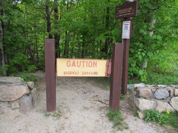
The Hancock Notch Trail trailhead
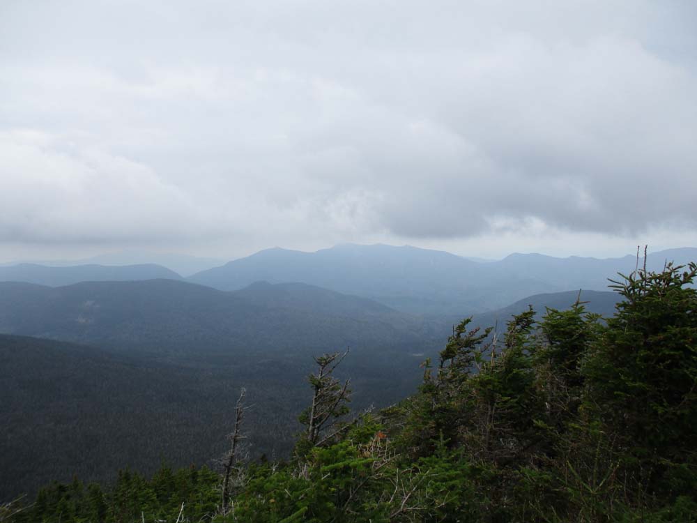
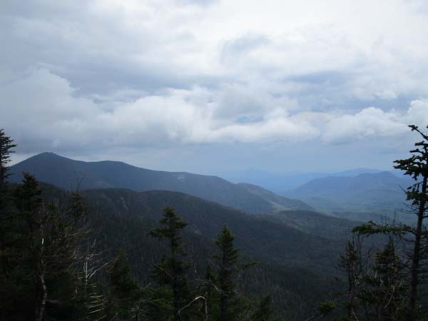
Looking at the Osceolas from the North Hancock viewpoint
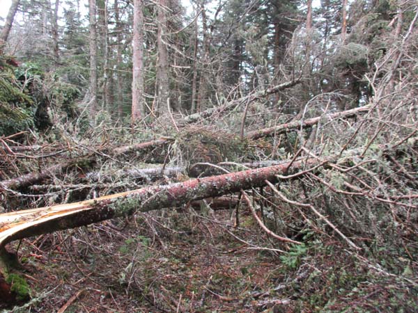
Blowdowns between the peaks
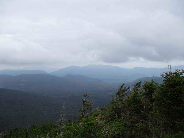
Looking at Mt. Carrigain from the South Hancock viewpoint
Directions to trailhead: Take Route 112 west from Route 16. After going over the pass, continue down hill a bit. The Hancock WMNF fee parking area will be on the left, just before a hairpin turn.
Back to Mt. Hancock (North Peak) Profile
Back to Mt. Hancock (South Peak) Profile
|