Home
States
Colorado
Connecticut
Maine
Massachusetts
New Hampshire
New York
Rhode Island
Utah
Vermont
View All
Lists
NE 4,000 Footers
NE 100 Highest
NH 4,000 Footers
NH 100 Highest
NH 52 With A View
NH Belknap Range
NH Ossipee 10
Links
Trail Conditions
Trip Log
Sunrises
Sunsets
About
|
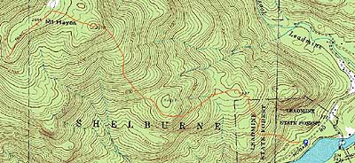
Mt. Hayes
Shelburne, NH, Gorham, NH
Trailheads, measurements, times, distances, and maps are all approximate and relative to the hike(s) as shown below.
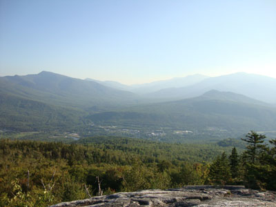
Looking up the Centennial Trail
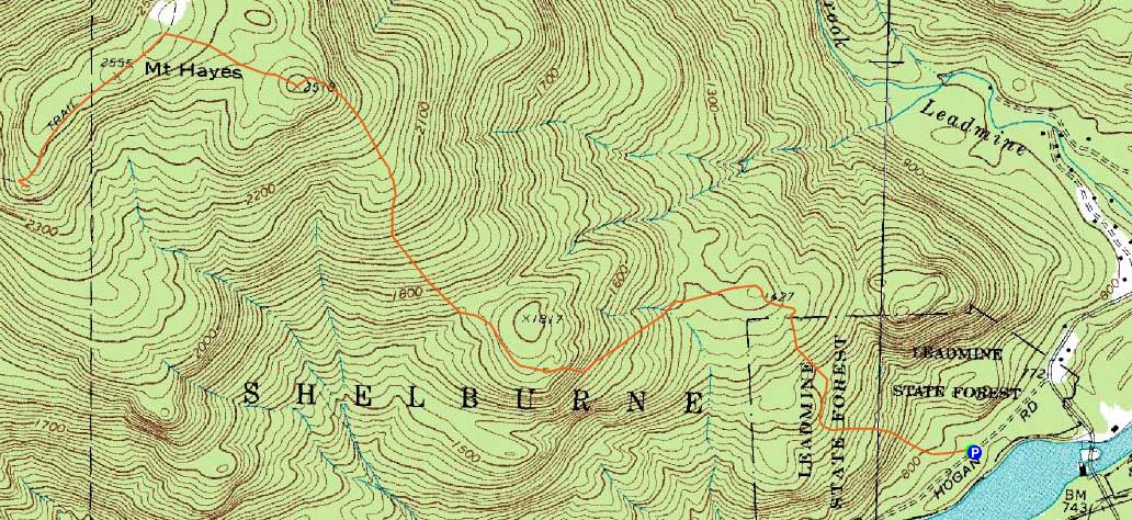
Route: Centennial Trail, Mahoosuc Trail, (Mt. Hayes), Mahoosuc Trail, (south ledges), Mahoosuc Trail, (Mt. Hayes), Mahoosuc Trail, Centennial Trail
Having wanted to revisit Mt. Hayes for awhile, I found a decent afternoon to do so.
The Centennial Trail up to Mt. Hayes East was generally pretty gradual, though there were a few brief steeper areas. One short area of ledge seemed like it could be a bit difficult if wet or icy.
Mt. Hayes East was a neat, ledgy peak with limited treetop views. Beyond there, the trail dropped into a col, the climbed back up to the Mahoosuc Trail. Heading south, there was decent, though hazy view to the west. Soon thereafter, I reached the viewless summit of Mt. Hayes. With some daylight remaining, I continued south, eventually reaching the southern viewpoint, where I had hazy, but awesome views.
For the return trip, I did some jogging on the lower Centenniel Trail, as to get to the trailhead just before the sunset.
| Hike Ratings |
|
Getting To Trailhead: |
Easy |
| Destination: |
Mt. Hayes |
|
Length: |
Moderate |
|
Steepness: |
Difficult |
|
Navigation: |
Easy |
|
Views: |
Excellent |
|
Crowds: |
Minimal |
|
| Hike Stats |
|
Date Hiked: |
Monday, August 30, 2010 |
| Hike Commenced: |
4:22 PM |
| Parking Elevation: |
750' |
| Destination: |
Mt. Hayes |
| Ascent Commenced: |
4:22 PM |
| Summit Reached: |
5:45 PM |
| Time Elapsed: |
01:23 |
| Trailhead Elevation: |
750' |
| Summit Elevation: |
2,555' |
| Distance: |
3.3 miles |
| Vertical Gain: |
2,005' |
|
|
| Hike Ended: |
7:27 PM |
| Hike Time Elapsed: |
03:05 |
| Hike Distance: |
7.2 miles |
| Hike Vertical Gain: |
2,370' |
|
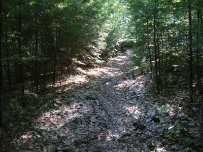
The Centennial Trail trailhead
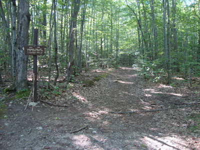
Mushrooms on the Centennial Trail
Looking at Pinkham Notch, surrounded by the Carters and Presidentials, from the southern ledges of Mt. Hayes

Directions to trailhead: Take US 2 East from Gorham. Take a left onto North Road. After crossing the river adajcent to the first dam, take a left onto Hogan Road. Shortly down this road, there will be a small parking area on the left and the Centennial Trail trailhead on the right.
Back to Mt. Hayes Profile
|