Home
States
Colorado
Connecticut
Maine
Massachusetts
New Hampshire
New York
Rhode Island
Utah
Vermont
View All
Lists
NE 4,000 Footers
NE 100 Highest
NH 4,000 Footers
NH 100 Highest
NH 52 With A View
NH Belknap Range
NH Ossipee 10
Links
Trail Conditions
Trip Log
Sunrises
Sunsets
About
|
Mt. Jackson
Carroll, NH, Hart's Location, NH, Bean's Grant, NH
Trailheads, measurements, times, distances, and maps are all approximate and relative to the hike(s) as shown below.
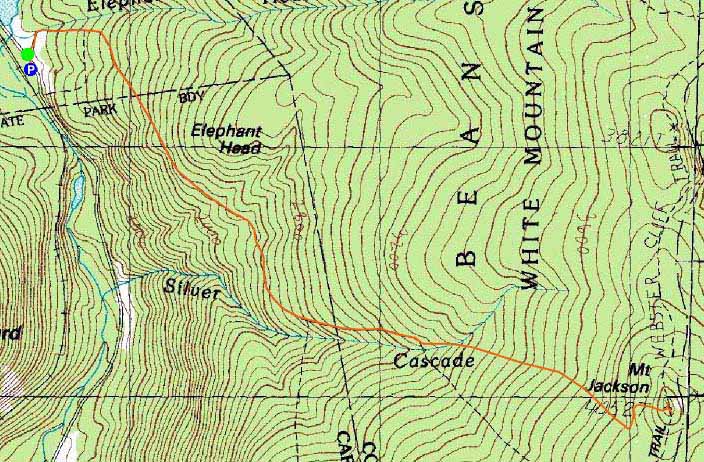
The Webster-Jackson Trail
Route: Webster-Jackson Trail
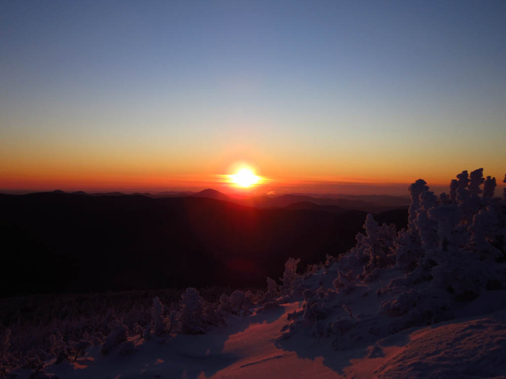
-5F at the trailhead at both the start and end of the hike. Decent sunrise from the top.
| Hike Ratings |
|
Getting To Trailhead: |
Easy |
| Destination: |
Mt. Jackson |
|
Length: |
Moderate |
|
Steepness: |
Difficult |
|
Navigation: |
Easy |
|
Views: |
Excellent |
|
Crowds: |
Minimum |
|
| Hike Stats |
|
Date Hiked: |
Thursday, January 19, 2012 |
| Parking Elevation: |
1,900' |
| Destination: |
Mt. Jackson |
| Time Elapsed: |
01:16 |
| Trailhead Elevation: |
1,905' |
| Summit Elevation: |
4,052' |
| Distance: |
2.6 miles |
| Vertical Gain: |
2,322' |
|
|
| Hike Time Elapsed: |
02:39 |
| Hike Distance: |
5.2 miles |
| Hike Vertical Gain: |
2,512' |
|
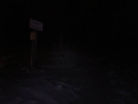
Webster-Jackson Trail trailhead on Route 302
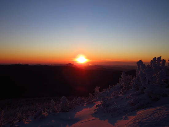
The sunrise as seen from Mt. Jackson

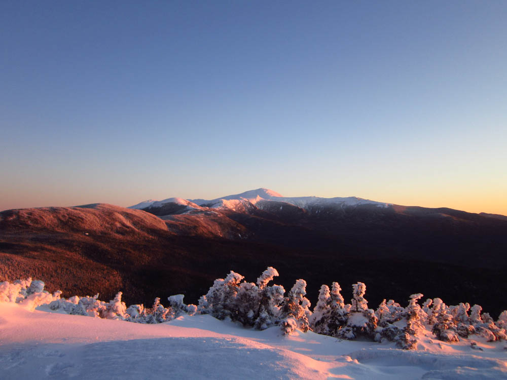
Mount Washington during sunrise as seen from Mt. Jackson
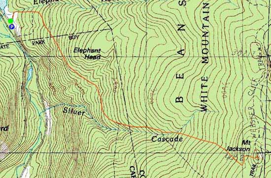

Directions to trailhead: Take Route 302 West from Bartlett into Carroll. There is a small parking lot on the left side of the road. Trailhead is located on the right side of the road, just after the parking lot and just before Saco Lake.
Back to Mt. Jackson Profile
|