Home
States
Colorado
Connecticut
Maine
Massachusetts
New Hampshire
New York
Rhode Island
Utah
Vermont
View All
Lists
NE 4,000 Footers
NE 100 Highest
NH 4,000 Footers
NH 100 Highest
NH 52 With A View
NH Belknap Range
NH Ossipee 10
Links
Trail Conditions
Trip Log
Sunrises
Sunsets
About
|
Mt. Jackson
Carroll, NH, Hart's Location, NH, Bean's Grant, NH
Trailheads, measurements, times, distances, and maps are all approximate and relative to the hike(s) as shown below.
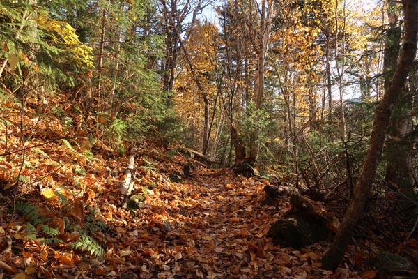
The lower Webster-Jackson Trail
Route: Webster-Jackson Trail
Lower trail was fairly dry with a growing carpet of leaves in places. Some mud further in, and then further in elevation. Scramble ledges were mostly dry. No snow or ice encountered this evening.
Foliage is past peak at this point, but still decent in places (though the incoming storm will likely change that).
| Hike Ratings |
|
Getting To Trailhead: |
Easy |
| Destination: |
Mt. Jackson |
|
Length: |
Moderate |
|
Steepness: |
Difficult |
|
Navigation: |
Moderate |
|
Views: |
Excellent |
|
Crowds: |
Moderate |
|
| Hike Stats |
|
Date Hiked: |
Tuesday, October 15, 2019 |
| Parking Elevation: |
1,900' |
| Destination: |
Mt. Jackson |
| Time Elapsed: |
01:09 |
| Trailhead Elevation: |
1,905' |
| Summit Elevation: |
4,052' |
| Distance: |
2.6 miles |
| Vertical Gain: |
2,322' |
|
|
| Hike Time Elapsed: |
02:48 |
| Hike Distance: |
5.2 miles |
| Hike Vertical Gain: |
2,512' |
|
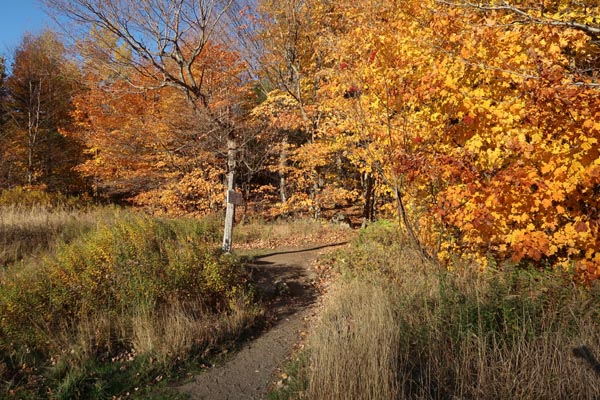
Webster-Jackson Trail trailhead on Route 302
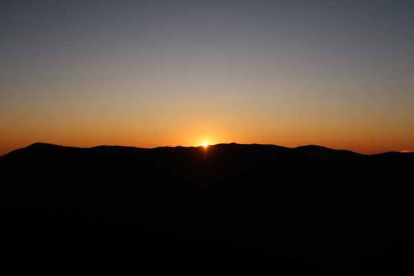
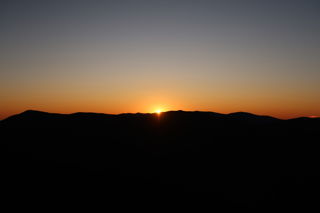
The sunset from Mt. Jackson
Directions to trailhead: Take Route 302 West from Bartlett into Carroll. There is a small parking lot on the left side of the road. Trailhead is located on the right side of the road, just after the parking lot and just before Saco Lake.
Back to Mt. Jackson Profile
|