Home
States
Colorado
Connecticut
Maine
Massachusetts
New Hampshire
New York
Rhode Island
Utah
Vermont
View All
Lists
NE 4,000 Footers
NE 100 Highest
NH 4,000 Footers
NH 100 Highest
NH 52 With A View
NH Belknap Range
NH Ossipee 10
Links
Trail Conditions
Trip Log
Sunrises
Sunsets
About
|
Mt. Jefferson, Mt. Adams, Mt. Madison
Bean's Grant, NH, Chandler's Purchase, NH
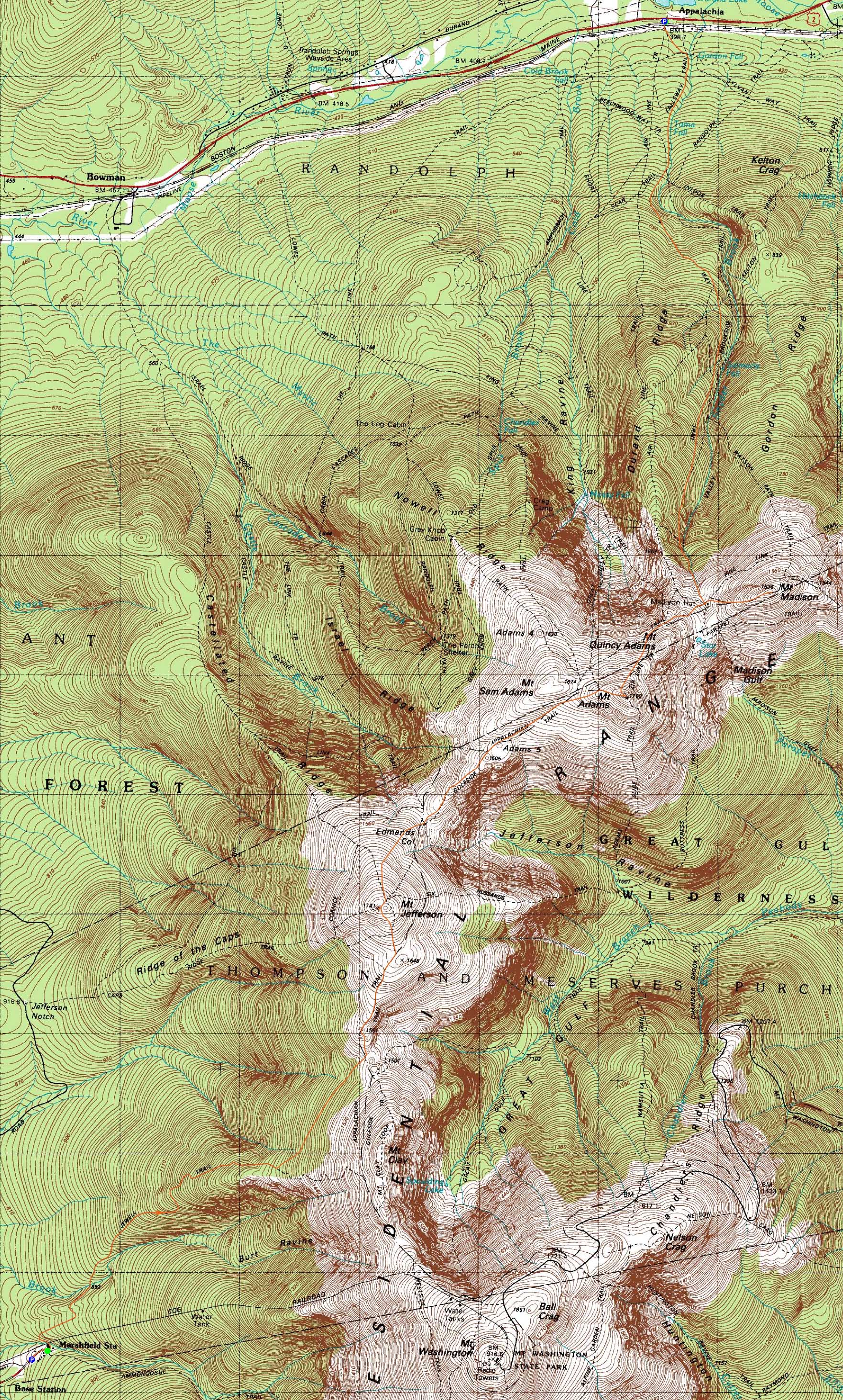
Trailheads, measurements, times, distances, and maps are all approximate and relative to the hike(s) as shown below.
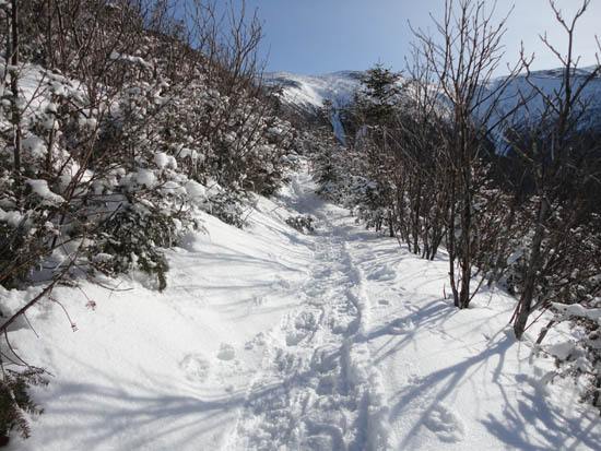
Looking up the Jewell Trail on the way to Mt. Jefferson
Route: Jewell Trail, snowfields, Gulfside, Jefferson Loop, (Mt. Jefferson), snowfields, Gulfside, snowfields, (Mt. Adams), snowfields, Air Line, Gulfside, Osgood Trail, (Mt. Madison), Osgood Trail, Valley Way
With a rare Presi day (very rare for winter 2010-2011 standards), we decided to head to the Northerns.
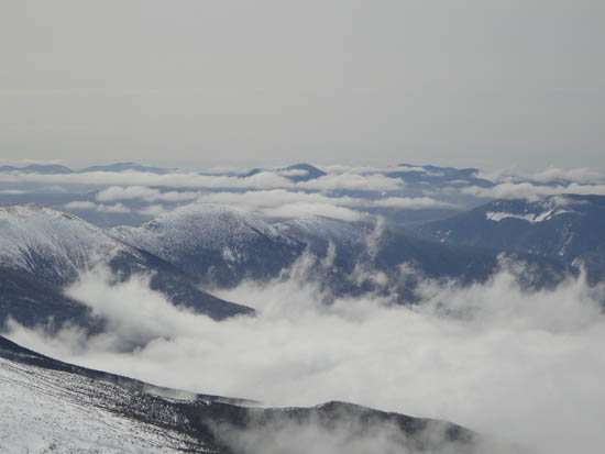
The Jewell Trail was in fairly good shape, though the lower portion had a lot of iced branches leaning into the trail. Clearing treeline, we eventually found a fairly open line toward Sphinx Col across hardpack and ice covered snowfields. With potentially dangerous fall zones, ice equipment was out as a precaution. Eventually reaching the summit of Jefferson, we had strong views in all directions under increasingly overcast skies with minimal winds.
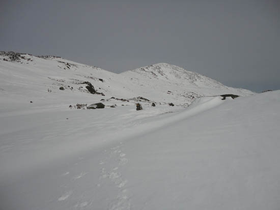
Heading toward Edmands Col, we curved a bit to the west to avoid the very dangerous snowfield and cornice. After a lunch break in the col, we worked our way up the snowfields to Adams, where we had good views once again, though slightly stronger winds.
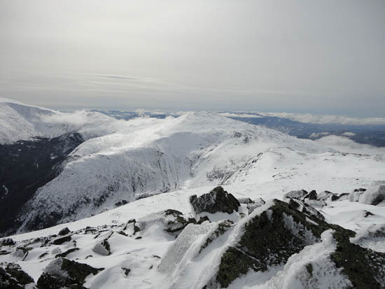
The descent from Adams was tricky due to an inconsistent icy crust. Eventually reaching Gulfside, we headed down to the hut and donned crampons for the climb up to Mt. Madison. Though the lowest summit of the day, we encountered the strongest winds.
After switching back to snowshoes at the hut, we had a fairly smooth descent on a nicely packed out Valley Way.
| Hike Ratings |
|
Getting To Trailhead: |
Easy |
| Destination: |
Mt. Jefferson |
|
Length: |
Moderate |
|
Steepness: |
Difficult |
|
Navigation: |
Moderate |
|
Views: |
Excellent |
|
Crowds: |
Moderate |
| Destination: |
Mt. Adams |
|
Length: |
Difficult |
|
Steepness: |
Very Difficult |
|
Navigation: |
Moderate |
|
Views: |
Excellent |
|
Crowds: |
Minimal |
| Destination: |
Mt. Adams |
|
Length: |
Difficult |
|
Steepness: |
Very Difficult |
|
Navigation: |
Moderate |
|
Views: |
Excellent |
|
Crowds: |
Heavy |
|
| Hike Stats |
|
Date Hiked: |
Wednesday, March 9, 2011 |
| Hike Commenced: |
7:44 AM |
| Parking Elevation: |
2,650' |
| Destination: |
Mt. Jefferson |
| Ascent Commenced: |
7:55 AM |
| Summit Reached: |
11:43 AM |
| Time Elapsed: |
03:48 |
| Trailhead Elevation: |
2,710' |
| Summit Elevation: |
5,712' |
| Vertical Gain: |
3,192' |
| Destination: |
Mt. Adams |
| Ascent Commenced: |
11:54 AM |
| Summit Reached: |
1:18 PM |
| Time Elapsed: |
01:24 |
| Trailhead Elevation: |
5,712' |
| Summit Elevation: |
5,774' |
| Vertical Gain: |
951' |
| Destination: |
Mt. Madison |
| Ascent Commenced: |
1:21 PM |
| Summit Reached: |
2:22 PM |
| Time Elapsed: |
01:01 |
| Trailhead Elevation: |
5,712' |
| Summit Elevation: |
5,774' |
| Vertical Gain: |
582' |
|
|
| Hike Ended: |
4:29 PM |
| Hike Time Elapsed: |
08:45 |
| Hike Vertical Gain: |
4,885' |
|
The Jewell Trail trailhead near the Marshfield Base Station
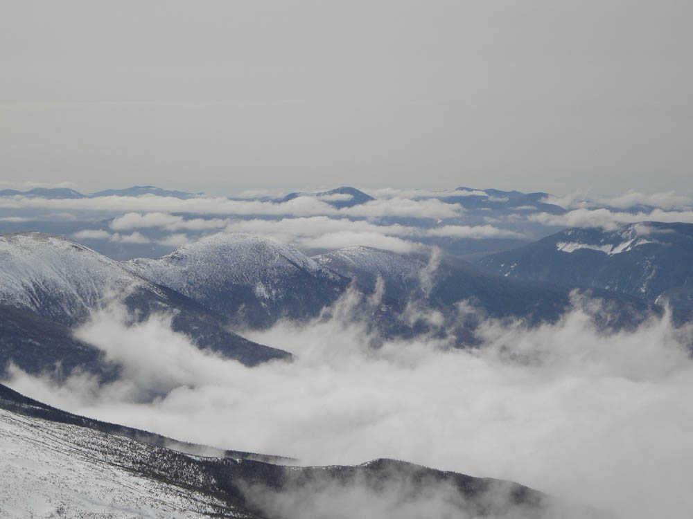
Looking at Mt. Carrigain from Mt. Jefferson
Heading across the snowfields on the way to Mt. Adams
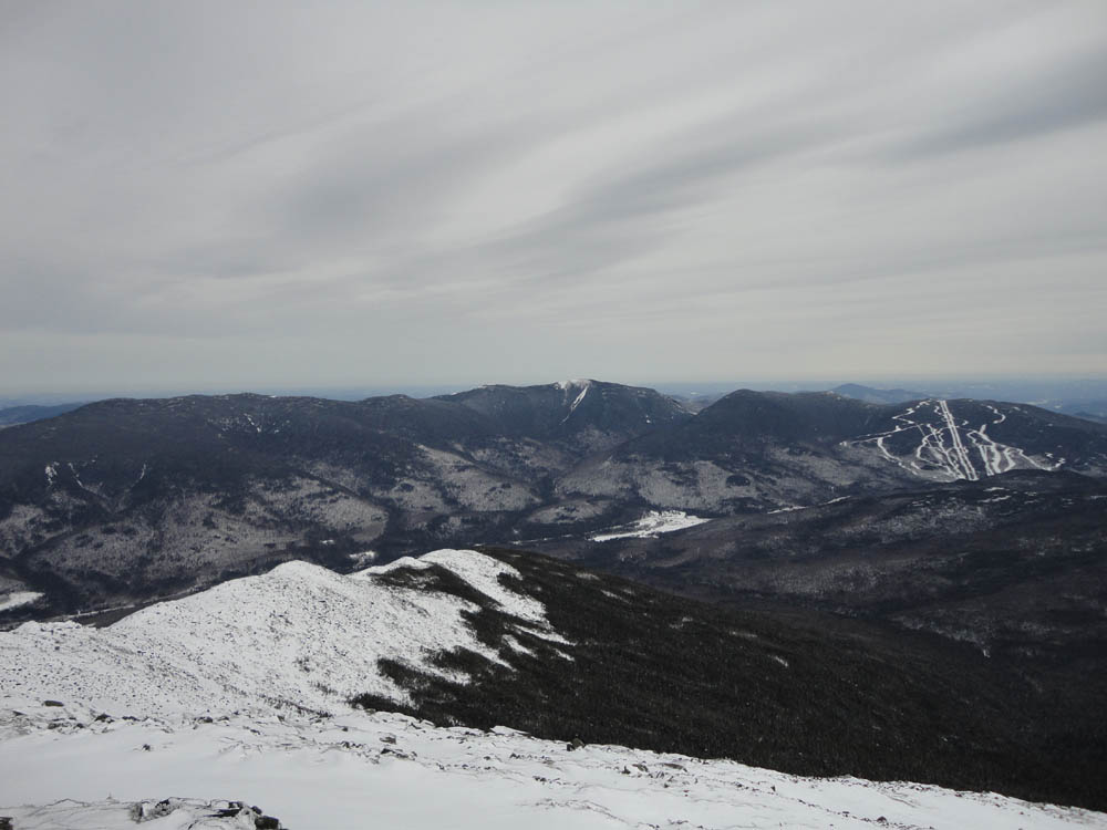
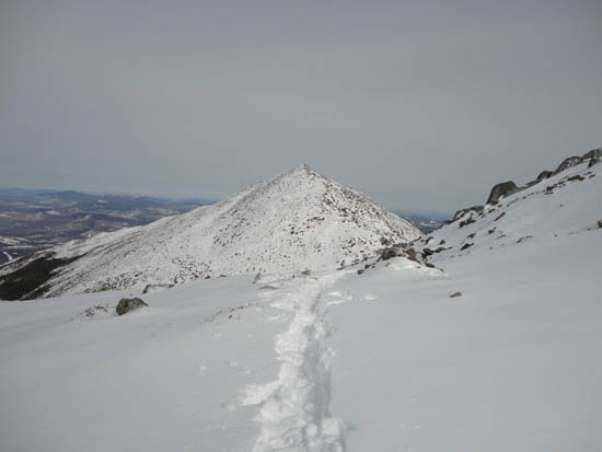
Looking at Mt. Jefferson from Mt. Adams
Gulfside on the way to Mt. Madison
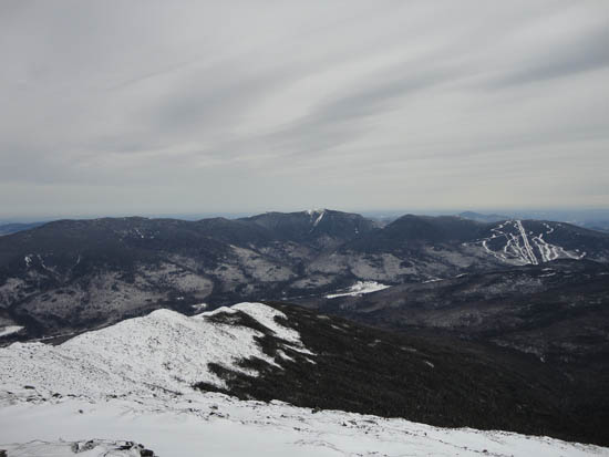
Looking at the Carters and Wildcats from Mt. Madison
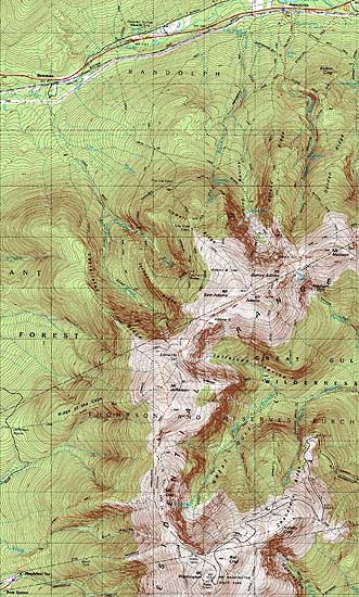

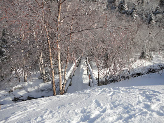
Directions to trailhead: To get to the Cog Base Station in winter, take 302 West from Crawford Notch, then take a right onto Base Station Road. In late winter 2011, there was plowed parking available below the Cog Base Station. Looking up the mountain, the spur trail to the Jewell Trail begins above the base station building, to the left.
Back to Mt. Jefferson Profile
Back to Mt. Adams Profile
Back to Mt. Madison Profile
|