Home
States
Colorado
Connecticut
Maine
Massachusetts
New Hampshire
New York
Rhode Island
Utah
Vermont
View All
Lists
NE 4,000 Footers
NE 100 Highest
NH 4,000 Footers
NH 100 Highest
NH 52 With A View
NH Belknap Range
NH Ossipee 10
Links
Trail Conditions
Trip Log
Sunrises
Sunsets
About
|
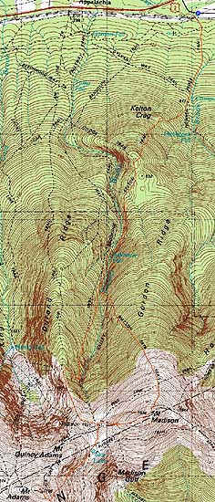
Mt. Madison, Mt. Adams
Randolph, NH, Bean's Grant, NH, Thompson and Meserves Purchase, NH
Trailheads, measurements, times, distances, and maps are all approximate and relative to the hike(s) as shown below.
Looking up the Kelton Trail
Route: Howker Ridge Trail, Kelton Trail, Brookside, Watson Path, (Mt. Madison), Osgood Trail, Star Lake Trail, (Mt. Adams), Star Lake Trail, Air Line Cutoff, Air Line, Upper Bruin, Valley Way, Lower Bruin, Brookside, Kelton Trail, Howker Ridge Trail
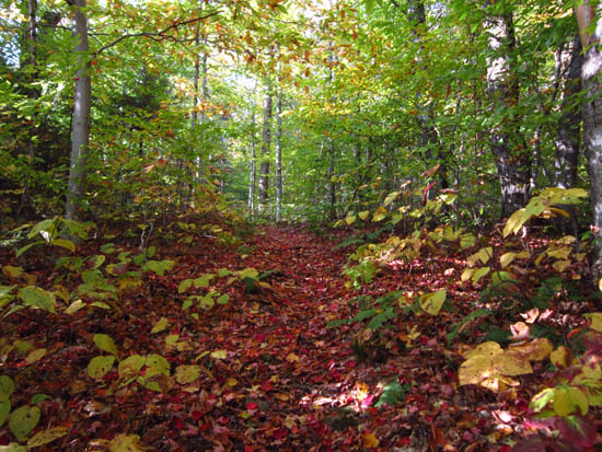
With the Appalachia lot overflowing, I headed to nearby Randolph East and ascended via some lesser used trails.
While it was windy above treeline, the unseasonably warm temperatures made it bearable, as did ascending the peaks via the lee sides.
| Hike Ratings |
|
Getting To Trailhead: |
Easy |
| Destination: |
Mt. Madison |
|
Length: |
Moderate |
|
Steepness: |
Very Difficult |
|
Navigation: |
Easy |
|
Views: |
Excellent |
|
Crowds: |
Moderate |
| Destination: |
Mt. Adams |
|
Length: |
Difficult |
|
Steepness: |
Very Difficult |
|
Navigation: |
Easy |
|
Views: |
Excellent |
|
Crowds: |
Heavy |
|
| Hike Stats |
|
Date Hiked: |
Saturday, October 8, 2011 |
| Parking Elevation: |
1,225' |
| Destination: |
Mt. Madison |
| Time Elapsed: |
03:03 |
| Trailhead Elevation: |
1,225' |
| Summit Elevation: |
5,367' |
| Vertical Gain: |
4,392' |
| Destination: |
Mt. Adams |
| Time Elapsed: |
01:24 |
| Trailhead Elevation: |
5,367' |
| Summit Elevation: |
5,774' |
| Vertical Gain: |
1,014' |
|
|
| Hike Time Elapsed: |
9:03 |
| Hike Vertical Gain: |
5,706' |
|
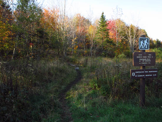
The Howker Ridge Trail trailhead at Randolph East
Looking down the Watson Path
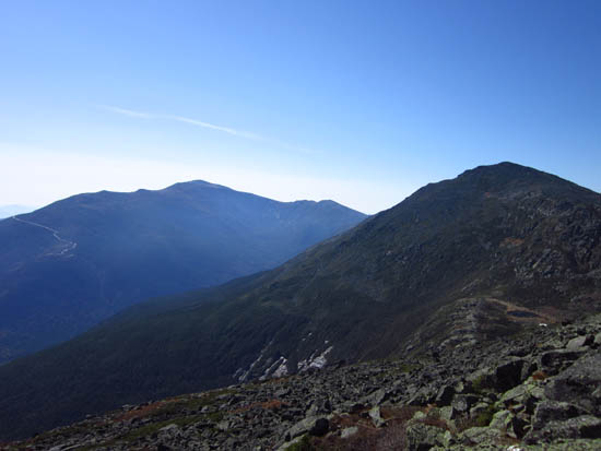
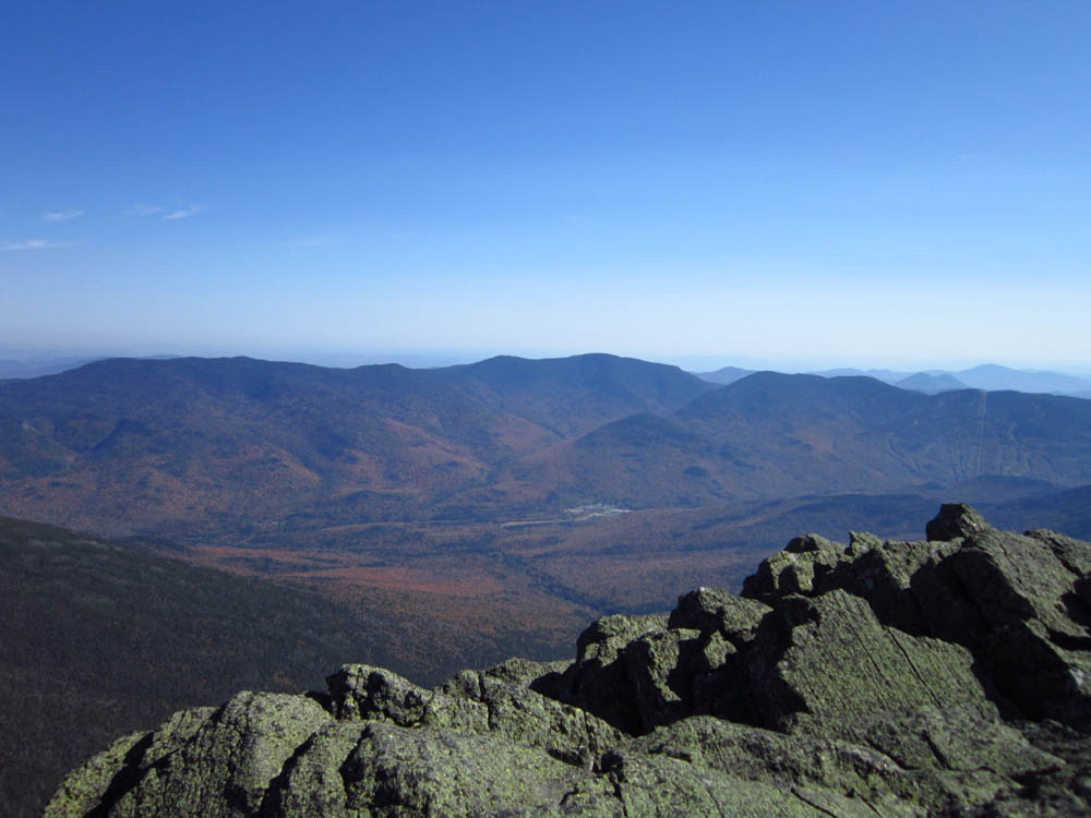
Looking at Mt. Washington and Mt. Adams from Mt. Madison
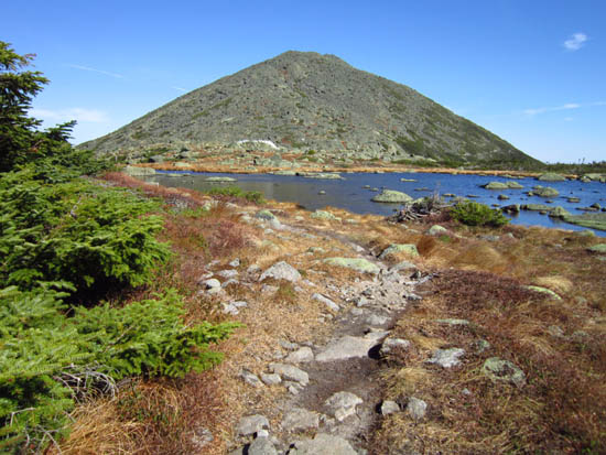
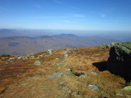
The Star Lake Trail
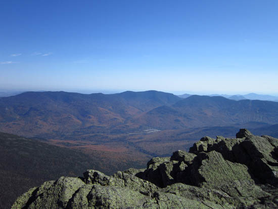
Looking at the Carters and Wildcats from Mt. Adams
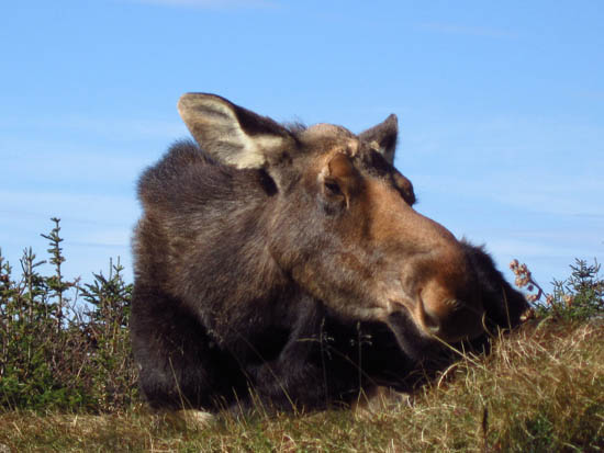
The moose near the Madison Hut

Directions to trailhead: Take US 2 West from Gorham. At the bottom of the big hill, take a left onto Pinkam B - Dolly Copp Road. The Randolph East parking lot and Howker Ridge Trail trailhead are on the right shortly thereafter.
Back to Mt. Madison Profile
Back to Mt. Adams Profile
|