Home
States
Colorado
Connecticut
Maine
Massachusetts
New Hampshire
New York
Rhode Island
Utah
Vermont
View All
Lists
NE 4,000 Footers
NE 100 Highest
NH 4,000 Footers
NH 100 Highest
NH 52 With A View
NH Belknap Range
NH Ossipee 10
Links
Trail Conditions
Trip Log
Sunrises
Sunsets
About
|
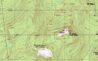
Mt. Major, Straightback Mountain, Mt. Anna
Alton, NH, Gilmanton, NH
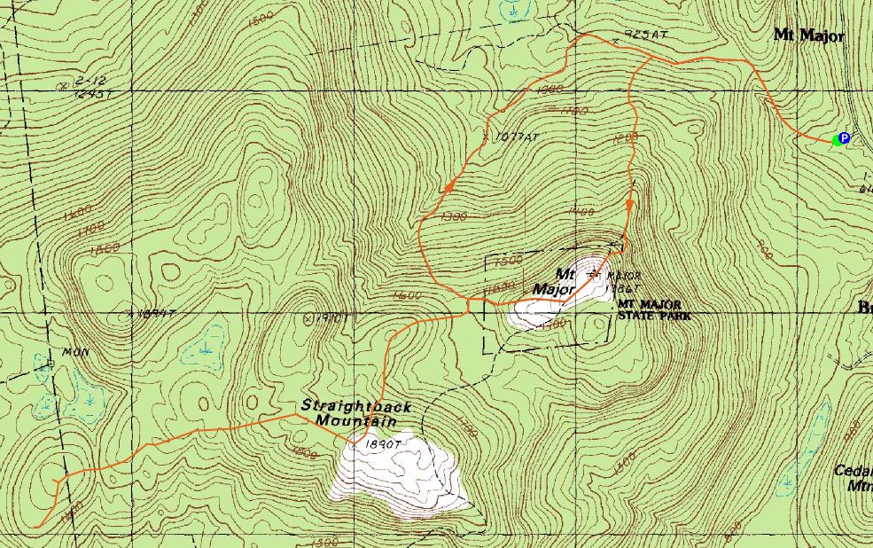
Trailheads, measurements, times, distances, and maps are all approximate and relative to the hike(s) as shown below.
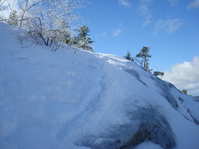
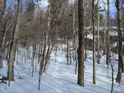
Looking up the Mt. Major Trail
Route: Mt. Major Trail, (Mt. Major), Major/Straightback Link, (Straightback Mountain), Anna/Straightback Link, (Mt. Anna), Blue Trail, (Mt. Anna viewpoint), Blue Trail, (Mt. Anna), Anna/Straightback Link, (Straightback Mountain), Major/Straightback Link, Brook Trail, Mt. Major Trail
My original plan was to hike somewhere up in the White Mountains, however the cloud forecast took a turn for the worst. Instead, I sat around for awhile, and headed south as soon as the clouds broke.
Arriving at the Mt. Major Route 11 parking lot, I was surprised not to see many cars. The recent rain/sleet seemed to be the deterrent - the top of the mountain was twinkling in fact.
My initial thought was to go up the Brook Trail direct to Straightback, then hit Anna, and head back. Nearing the Brook Trail junction, I saw tracks heading up the Mt. Major Trail - so I followed. Arriving at the ledges bypass, this time I took that and avoided some heavy ice. With the traverses that had been broken, the trail never was much more than moderate in pitch.
The views from the top were strong as usual - only two other people and a dog were up there. Not wasting any time, I continued on to Straightback Mountain.
I was surprised to see the Straightback-Major Link was broken out - though neat, I doubt Straightback Mountain is an overly popular destination compared to its neighbor.
After snapping a few photos, I started down the Anna/Straightback Link Trail. I found the first part, which goes through two large fields, a bit hard to follow, as any sort of paint/small cairns were covered - and the only other hiker who had been out this way had somehow ventured north off the trail. Nonetheless, I was able to basically set a straight course and meet up with a cairn and the blazes at the western end of it all.
At this point the hike seemed to drag on - in some places this segment of trail is marked as less than a mile, but it is more than likely longer than that. Portions of it are rather boring with a few up and downs.
Finally arriving at Mt. Anna, I took a minute to verify I had reached the summit. Satisfied, I headed down an unbroken Blue Trail to the view point. The views were so-so - only to the southwest and with on-coming clouds. Had I not crossed over Mt. Major and Straightback Mountain, they probably would have seemed better. Nonetheless, better than nothing.
On the way back I was glad to have my ice axe handy - there were two very small cliffs (maybe 3-4 feet, I probably could have walked a few feet around each) that I couldn't quite ascend while wearing my snowshoes. With the axe, I was able to pull myself up without taking them off.
After crossing Straightback again, I decided to avoid Mt. Major and instead take the Brook Trail down.
A partly sunny day in the Belknaps is better than a cloudy day in the Whites!
| Hike Ratings |
|
Getting To Trailhead: |
Easy |
| Destination: |
Mt. Major |
|
Length: |
Moderate |
|
Steepness: |
Difficult |
|
Navigation: |
Easy |
|
Views: |
Excellent |
|
Crowds: |
Minimal |
| Destination: |
Straightback Mountain |
|
Length: |
Moderate |
|
Steepness: |
Moderate |
|
Navigation: |
Easy |
|
Views: |
Excellent |
|
Crowds: |
Minimal |
| Destination: |
Mt. Anna |
|
Length: |
Moderate |
|
Steepness: |
Difficult |
|
Navigation: |
Moderate |
|
Views: |
Excellent |
|
Crowds: |
Minimal |
|
| Hike Stats |
|
Date Hiked: |
Saturday, February 2, 2008 |
| Hike Commenced: |
12:28 PM |
| Parking Elevation: |
585' |
| Destination: |
Mt. Major |
| Ascent Commenced: |
12:29 PM |
| Summit Reached: |
1:15 PM |
| Time Elapsed: |
00:46 |
| Trailhead Elevation: |
600' |
| Summit Elevation: |
1,786' |
| Distance: |
1.75 miles |
| Vertical Gain: |
1,211' |
| Destination: |
Straightback Mountain |
| Ascent Commenced: |
1:19 PM |
| Summit Reached: |
1:49 PM |
| Time Elapsed: |
00:30 |
| Trailhead Elevation: |
1,786' |
| Summit Elevation: |
1,890' |
| Distance: |
1.1 miles |
| Vertical Gain: |
365' |
| Destination: |
Mt. Anna |
| Ascent Commenced: |
1:51 PM |
| Summit Reached: |
2:22 PM |
| Time Elapsed: |
00:31 |
| Trailhead Elevation: |
1,890' |
| Summit Elevation: |
1,670' |
| Distance: |
1.2 miles |
| Vertical Gain: |
190' |
|
|
| Hike Ended: |
4:17 PM |
| Hike Time Elapsed: |
03:48 |
| Hike Vertical Gain: |
2,306 |
|
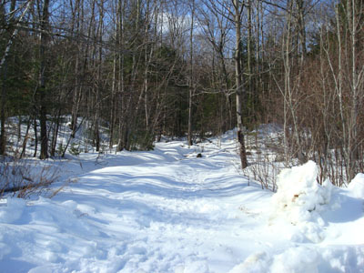
The Mt. Major Trail trailhead at the back of the Route 11 parking lot

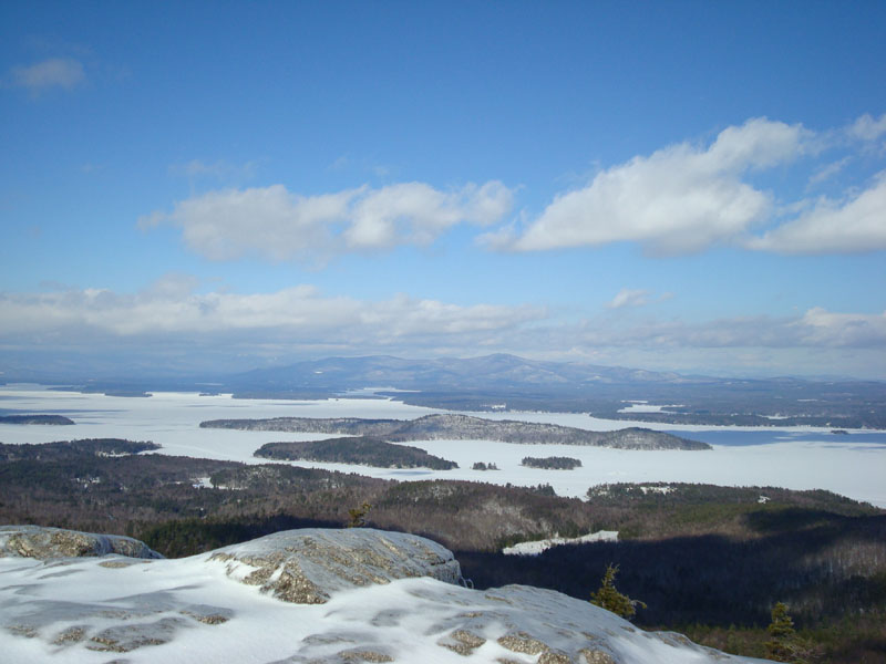
Looking over Lake Winnipesaukee at the Ossipee Mountains from the Mt. Major summit
Looking up the Major-Straightback Link trail near the top of Straightback Mountain
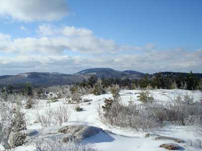
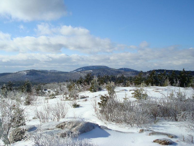
Looking west northwest at Belknap Mountain from the Straightback Mountain summit
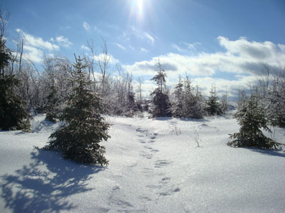
The Anna-Straightback Link trail

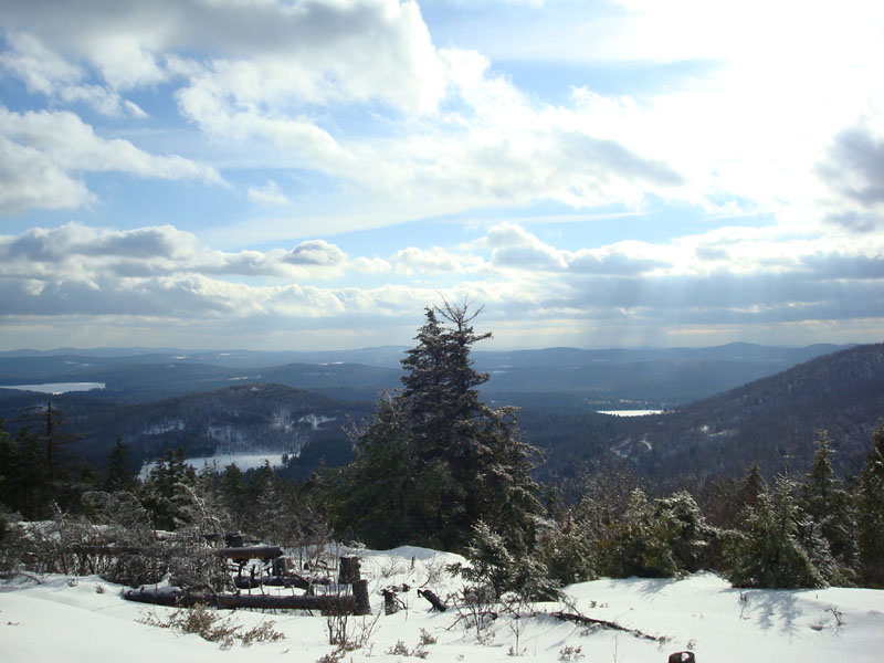
Looking southwest from the viewpoint on the Blue Trail near the Mt. Anna summit

Directions to trailhead: Take Route 11 West (north in reality) from Alton Bay. Parking lot and trailhead are on the left after the blasted out section of Route 11.
Back to Mt. Major Profile
Back to Straightback Mountain Profile
Back to Mt. Anna Profile
|