Home
States
Colorado
Connecticut
Maine
Massachusetts
New Hampshire
New York
Rhode Island
Utah
Vermont
View All
Lists
NE 4,000 Footers
NE 100 Highest
NH 4,000 Footers
NH 100 Highest
NH 52 With A View
NH Belknap Range
NH Ossipee 10
Links
Trail Conditions
Trip Log
Sunrises
Sunsets
About
|
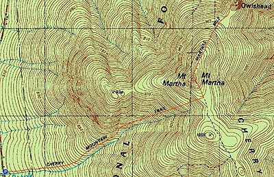
Mt. Martha, Owlshead
Carroll, NH
Trailheads, measurements, times, distances, and maps are all approximate and relative to the hike(s) as shown below.
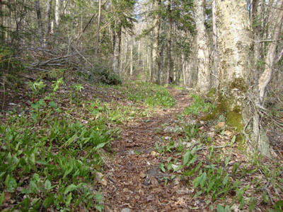
Looking up the Cherry Mountain Trail
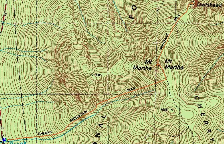
Route: Cherry Mountain Trail, spur trail, (Mt. Martha), Martha's Mile, (Owlshead), Martha's Mile, (Mt. Martha), spur trail, Cherry Mountain Trail
Looking for something scenic but not overly taxing (the day after an Isolation hike), I opted to try and get views from Mt. Martha (having been there in foggy conditions previously).
Mosquitoes were out from the getgo, however keeping a reasonable pace was enough to not become a blood donor. The Cherry Mountain Trail was dry and surrounded with wildflowers.
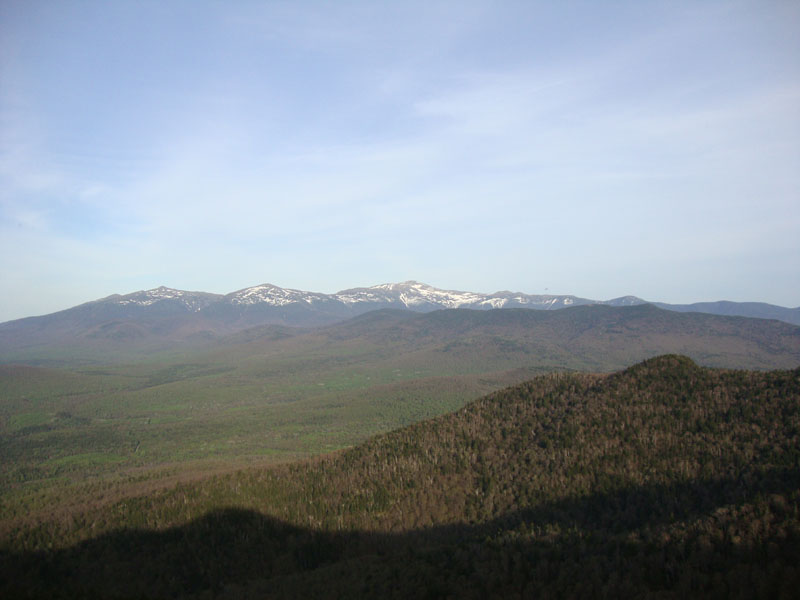
After the short walk up the snowmobile trail, I was greeted with excellent views in to the south and east, as well as lots of swarming black flies. To the west, the Vermont views were a bit hazy.
Seeing that I had just enough time to fit in a sidetrip and still make it down before sunset, I dropped my pack and quasi-jogged over to Owlshead, where the bugs weren't as bad and the views were spectacular. It was a fairly gentle trip over, with the exception of some minor scrambles up to the top.
The return trip required quite a bit more vertical, however it went by fairly smoothly. Dropping down from Mt. Martha, the black flies continued to be vexing in the lower elevations.
| Hike Ratings |
|
Getting To Trailhead: |
Moderate |
| Destination: |
Mt. Martha |
|
Length: |
Moderate |
|
Steepness: |
Moderate |
|
Navigation: |
Easy |
|
Views: |
Excellent |
|
Crowds: |
Minimal |
| Destination: |
Owlshead |
|
Length: |
Moderate |
|
Steepness: |
Very Difficult |
|
Navigation: |
Easy |
|
Views: |
Excellent |
|
Crowds: |
Minimal |
|
| Hike Stats |
|
Date Hiked: |
Monday, May 17, 2010 |
| Hike Commenced: |
5:22 PM |
| Parking Elevation: |
1,660' |
| Destination: |
Mt. Martha |
| Ascent Commenced: |
5:22 PM |
| Summit Reached: |
6:11 PM |
| Time Elapsed: |
00:49 |
| Trailhead Elevation: |
1,660' |
| Summit Elevation: |
3,573' |
| Distance: |
1.9 miles |
| Vertical Gain: |
1,933' |
| Destination: |
Owlshead |
| Ascent Commenced: |
6:17 PM |
| Summit Reached: |
6:33 PM |
| Time Elapsed: |
00:16 |
| Trailhead Elevation: |
3,573' |
| Summit Elevation: |
3,258' |
| Distance: |
0.8 mile |
| Vertical Gain: |
149' |
|
|
| Hike Ended: |
7:40 PM |
| Hike Time Elapsed: |
02:18 |
| Hike Distance: |
5.4 miles |
| Hike Vertical Gain: |
2,566' |
|
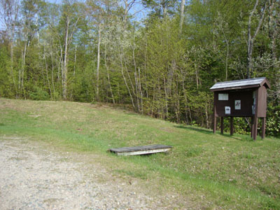
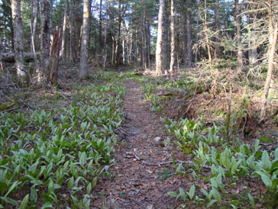
The Cherry Mountain Trail trailhead
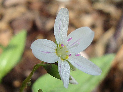
A wildflower on the Cherry Mountain Trail
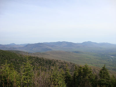
Looking at the Pemi and Franconia peaks from Mt. Martha
Martha's Mile in the col between the peaks
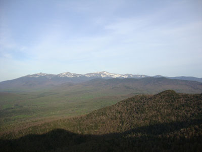
The looking at the Presidentials from Owlshead

Directions to trailhead: Take Route 302 west to Route 3 North, then take a right onto Route 115. The Cherry Mountain Trail trailhead and parking area will be on the right, immediately after passing Lennon Road on the left.
Back to Mt. Martha Profile
Back to Owlshead Profile
|