Home
States
Colorado
Connecticut
Maine
Massachusetts
New Hampshire
New York
Rhode Island
Utah
Vermont
View All
Lists
NE 4,000 Footers
NE 100 Highest
NH 4,000 Footers
NH 100 Highest
NH 52 With A View
NH Belknap Range
NH Ossipee 10
Links
Trail Conditions
Trip Log
Sunrises
Sunsets
About
|
Mt. Monroe
Chandler's Purchase, NH, Sargent's Purchase, NH
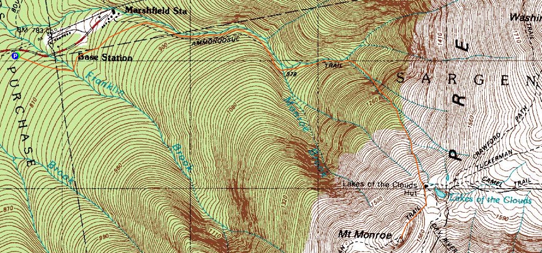
Trailheads, measurements, times, distances, and maps are all approximate and relative to the hike(s) as shown below.
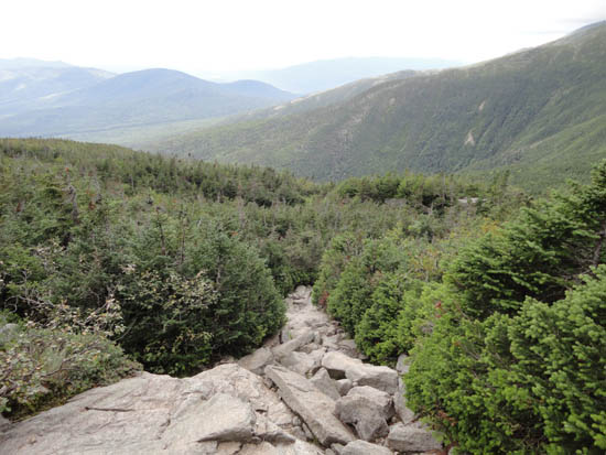
Looking down the Ammonoosuc Ravine Trail
Route: Ammonoosuc Ravine Trail, Crawford Path, Tuckerman Crossover, Lawn Cutoff, Davis Path, Tuckerman Crossover, Crawford Path, Mount Monroe Loop, (Mt. Monroe), Mount Monroe Loop, Ammonoosuc Ravine Trail
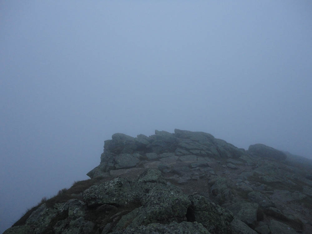
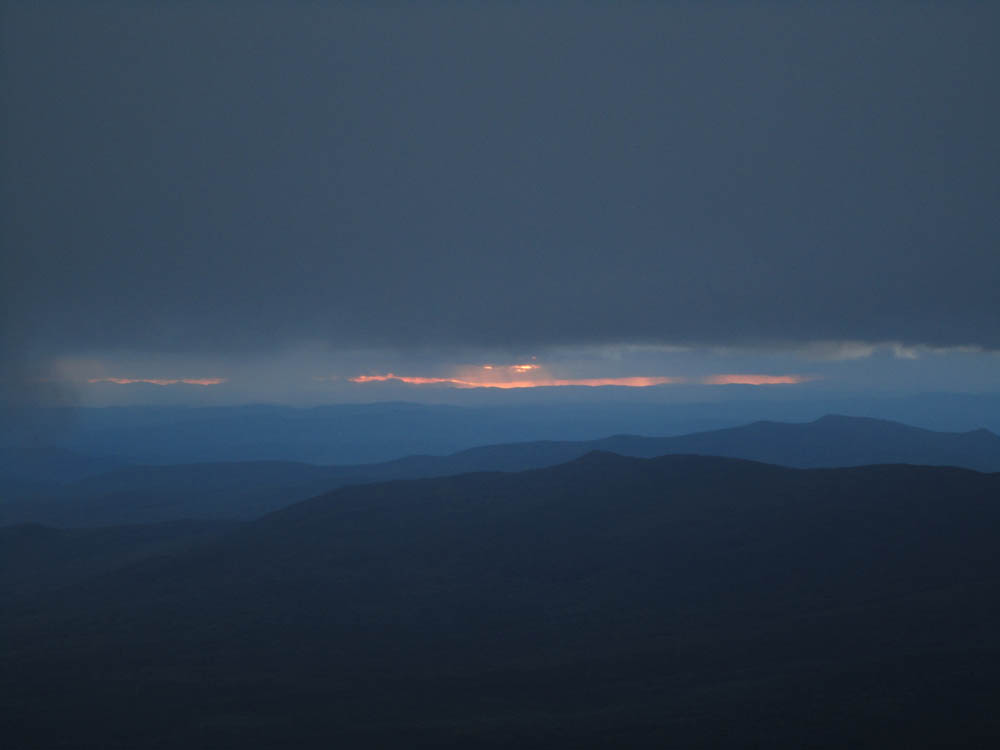
My intent was to catch the sunset from Mt. Monroe and, with decent afternoon weather, it appeared to be reasonable. Arriving at the hut well ahead of schedule, I walked around some of the short trail segments between there and Tuckerman Ravine, biding my time and keeping warm in the dropping temperatures and increasing winds. While doing that, the clouds dropped and socked in the summits. Aside from some slight colors on the upper Ammo, there wasn't much to see.
| Hike Ratings |
|
Getting To Trailhead: |
Easy |
| Destination: |
Mt. Monroe |
|
Length: |
Moderate |
|
Steepness: |
Difficult |
|
Navigation: |
Easy |
|
Views: |
Minimal (due to weather) |
|
Crowds: |
Heavy |
|
| Hike Stats |
|
Date Hiked: |
Thursday, August 11, 2011 |
| Parking Elevation: |
2,500' |
| Destination: |
Mt. Monroe |
| Time Elapsed: |
02:54 |
| Trailhead Elevation: |
2,500' |
| Summit Elevation: |
5,372' |
| Vertical Gain: |
3,772' |
|
|
| Hike Time Elapsed: |
05:12 |
| Hike Vertical Gain: |
3,902' |
|
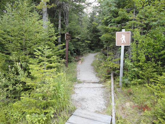
The Ammonoonusc Ravine Trail trailhead at the edge of the parking area
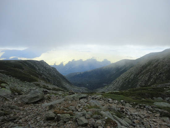
Tuckerman Ravine as seen from the Lawn Cutoff
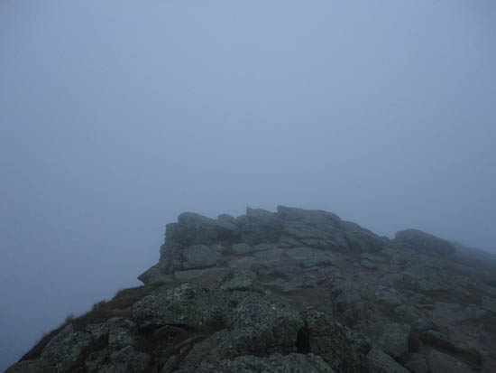
Fog on Mt. Monroe
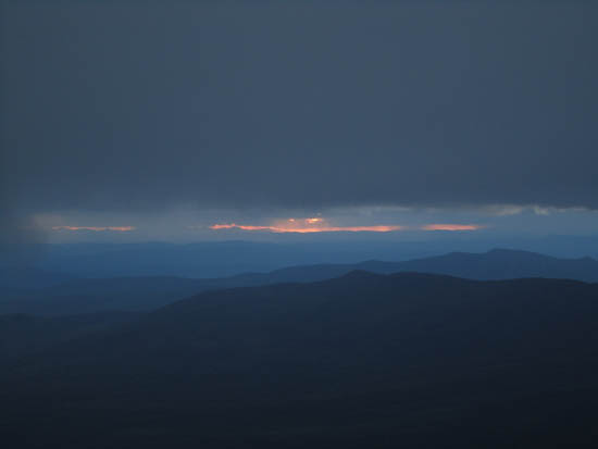
Slight sunset views from the Ammonoosuc Ravine Trail
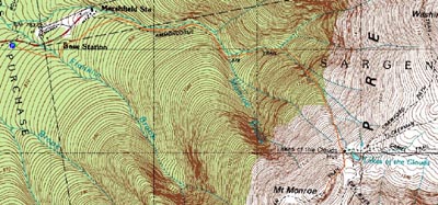

Directions to trailhead: Take Route 302 West from Bartlett up to Crawford Notch. Take a right onto Clinton Road. Follow the road to Base Road (stop sign). Take a right, then take a right a few minutes thereafter into the hiker parking area. The trailhead is on the eastern side of the parking lot.
Back to Mt. Monroe Profile
|