Home
States
Colorado
Connecticut
Maine
Massachusetts
New Hampshire
New York
Rhode Island
Utah
Vermont
View All
Lists
NE 4,000 Footers
NE 100 Highest
NH 4,000 Footers
NH 100 Highest
NH 52 With A View
NH Belknap Range
NH Ossipee 10
Links
Trail Conditions
Trip Log
Sunrises
Sunsets
About
|
Mt. Muise
Odell, NH, Columbia, NH
Trailheads, measurements, times, distances, and maps are all approximate and relative to the hike(s) as shown below.
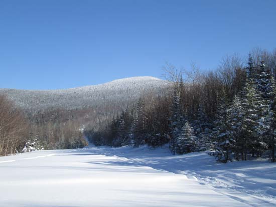
Mt. Muise as seen from the Cohos Trail
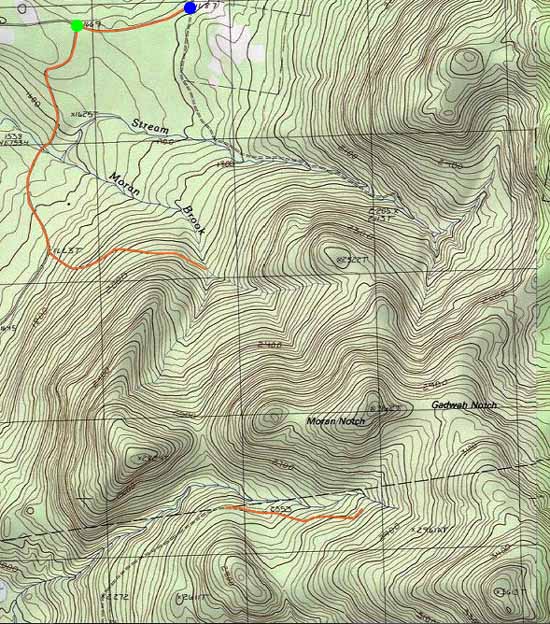
Route: Bungy Road, Champion Road, logging road, bushwhack, Gadwah Notch Trail, bushwhack
Brief Bungy Road walk westbound had maybe 6" of powder on top of either a plowed or groomed surface (or both).
From there, we turned onto Champion Road southbound (groomed snowmobile corridor) and took it for about 1.1 miles, then took a left onto a logging road, which required shin to knee deep trailbreaking. We took this to where it met Moran Brook, then headed up toward Moran Notch in open woods (occasional logging road), which we stayed just east of at perhaps between 2,600 and 2,700 feet. We then slabbed down and crossed Nash Stream (snow covered), then climbed up to the Gadwah Notch Trail (Cohos Trail), which had fortunately been snowmobiled in the past week.
Prior to reaching Nash Stream again, we headed southeast into logged areas and generally open woods up to the western ridge of Muise, then followed it up to the summit. With the exception of a tight area near the steeps, the woods were generally decent going with the current deep snowpack (probably 4 feet).
Cold day up north with ambient temperature never reaching zero. Fortunately the sunny skies made it a bit more tolerable. Including road walk, round trip clocked in at about 10.6 miles.
| Hike Ratings |
|
Getting To Trailhead: |
Moderate |
| Destination: |
Mt. Muise |
|
Length: |
Moderate |
|
Steepness: |
Difficult |
|
Navigation: |
Very Difficult |
|
Views: |
Minimal |
|
Crowds: |
Minimal |
|
| Hike Stats |
|
Date Hiked: |
Friday, February 13, 2015 |
| Parking Elevation: |
1,687' |
| Destination: |
Mt. Muise |
| Time Elapsed: |
04:15 |
| Trailhead Elevation: |
1,669' |
| Summit Elevation: |
3,615' |
| Vertical Gain: |
2,215' |
|
|
| Hike Time Elapsed: |
06:55 |
| Hike Vertical Gain: |
2,735' |
|
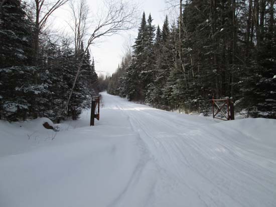
Champion Road off Bungy Road
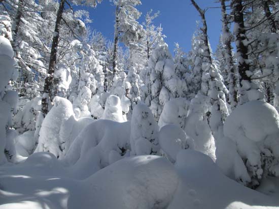
Deep snowpack on Mt. Muise

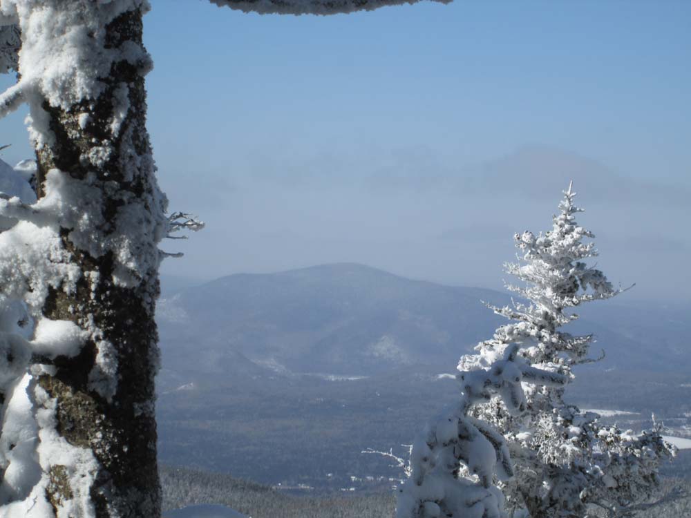
Monadnock Mountain as seen from near the summit of Mt. Muise

Back to Mt. Muise Profile
|