Home
States
Colorado
Connecticut
Maine
Massachusetts
New Hampshire
New York
Rhode Island
Utah
Vermont
View All
Lists
NE 4,000 Footers
NE 100 Highest
NH 4,000 Footers
NH 100 Highest
NH 52 With A View
NH Belknap Range
NH Ossipee 10
Links
Trail Conditions
Trip Log
Sunrises
Sunsets
About
|
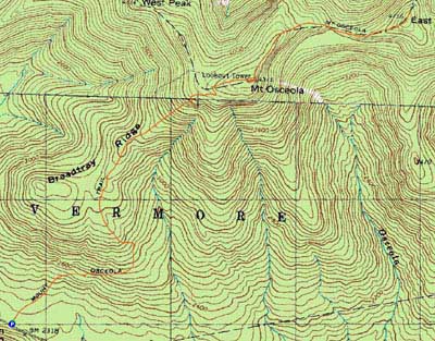
Mt. Osceola, Mt. Osceola (East Peak)
Livermore, NH, Lincoln, NH
Trailheads, measurements, times, distances, and maps are all approximate and relative to the hike(s) as shown below.
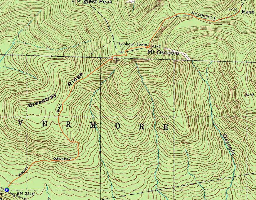
Mt. Osceola Trail to Mt. Osceola
Route: Mt. Osceola Trail
Another very hot day. While I would have preferred to ascend out of the sunlight from the Kanc, paving on Route 16 persuaded me to go to Waterville.
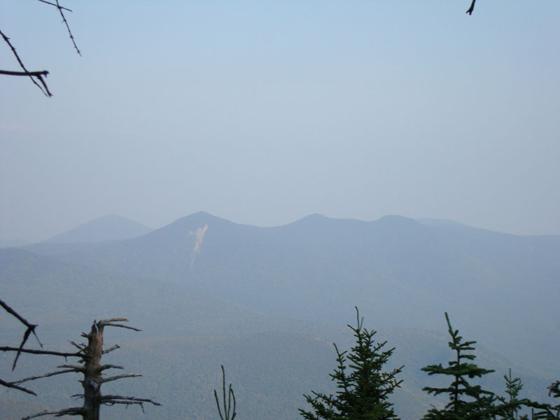
Since I cannot stand the rocky first portion of the Osceola Trail, I allowed myself to listen to some music during the ascent. After passing a decent number of descending hikers, the second half of the ascent to Mt. Osceola was quiet. Reaching the summit, I had hazy views from the ledge vista.
The heat started to catch up to me as I worked my way to East Osceola. Reaching the summit, I was ready for a nap. Pushing back to the main peak via the chimney, I was eager to get out of the heat. I ended up reaching the trailhead around sunset, almost longing for some rain to cool things down.
| Hike Ratings |
|
Getting To Trailhead: |
Easy |
| Destination: |
Mt. Osceola |
|
Length: |
Moderate |
|
Steepness: |
Moderate |
|
Navigation: |
Easy |
|
Views: |
Excellent |
|
Crowds: |
Heavy |
| Destination: |
Mt. Osceola (East Peak) |
|
Length: |
Moderate |
|
Steepness: |
Very Difficult |
|
Navigation: |
Easy |
|
Views: |
Moderate |
|
Crowds: |
Minimal |
|
| Hike Stats |
|
Date Hiked: |
Monday, August 17, 2009 |
| Hike Commenced: |
4:06 PM |
| Parking Elevation: |
2,340' |
| Destination: |
Mt. Osceola |
| Ascent Commenced: |
4:06 PM |
| Summit Reached: |
5:22 PM |
| Time Elapsed: |
01:16 |
| Trailhead Elevation: |
2,340' |
| Summit Elevation: |
4,340' |
| Distance: |
3.2 miles |
| Vertical Gain: |
2,090' |
| Destination: |
Mt. Osceola (East Peak) |
| Ascent Commenced: |
5:25 PM |
| Summit Reached: |
5:56 PM |
| Time Elapsed: |
00:31 |
| Trailhead Elevation: |
4,340' |
| Summit Elevation: |
4,156' |
| Distance: |
1 mile |
| Vertical Gain: |
386' |
|
|
| Hike Ended: |
8:04 PM |
| Hike Time Elapsed: |
03:58 |
| Hike Vertical Gain: |
3,171' |
|
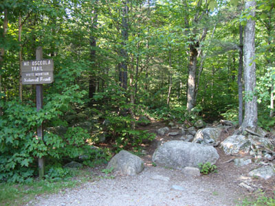
Mt. Osceola Trail trailhead at the Tripoli Road parking lot
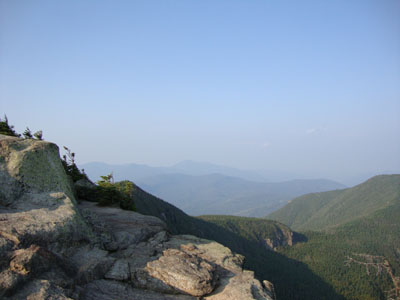
Looking at Mt. Carrigain from Mt. Osceola
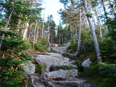
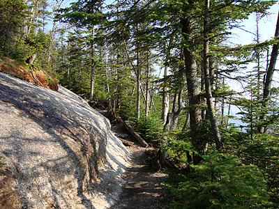
The Mt. Osceola Trail between Mt. Osceola and the East Peak
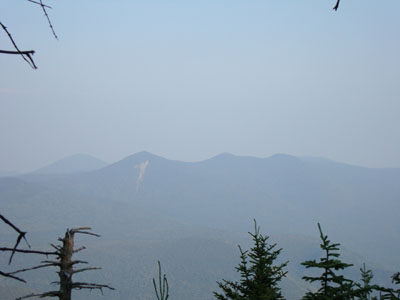
Looking at the Tripyramids from near the summit of the East Peak of Mt. Osceola
 ' '

Directions to trailhead: From Waterville Valley, take Tripoli Road (bear right at the entrance to the ski area) to the top of the gap. Just after the road turns from pavement from dirt, the Mt. Osceola WMNF fee parking lot appears on the right. The trailhead is located at the back of the parking lot.
Back to Mt. Osceola Profile
Back to Mt. Osceola (East Peak) Profile
|