Home
States
Colorado
Connecticut
Maine
Massachusetts
New Hampshire
New York
Rhode Island
Utah
Vermont
View All
Lists
NE 4,000 Footers
NE 100 Highest
NH 4,000 Footers
NH 100 Highest
NH 52 With A View
NH Belknap Range
NH Ossipee 10
Links
Trail Conditions
Trip Log
Sunrises
Sunsets
About
|
Mt. Osceola, Mt. Osceola (East Peak)
Livermore, NH, Lincoln, NH
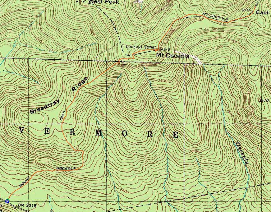
Trailheads, measurements, times, distances, and maps are all approximate and relative to the hike(s) as shown below.
Mt. Osceola Trail to Mt. Osceola
Route: Mt. Osceola Trail
Beautiful weather, though tricky surface conditions due to shoulder season snowcover (not enough for snowshoes, too sticky for light traction).
| Hike Ratings |
|
Getting To Trailhead: |
Easy |
| Destination: |
Mt. Osceola |
|
Length: |
Moderate |
|
Steepness: |
Moderate |
|
Navigation: |
Easy |
|
Views: |
Excellent |
|
Crowds: |
Minimal |
| Destination: |
Mt. Osceola (East Peak) |
|
Length: |
Moderate |
|
Steepness: |
Very Difficult |
|
Navigation: |
Easy |
|
Views: |
Excellent |
|
Crowds: |
Minimal |
|
| Hike Stats |
|
Date Hiked: |
Wednesday, November 2, 2011 |
| Parking Elevation: |
2,340' |
| Destination: |
Mt. Osceola |
| Time Elapsed: |
01:39 |
| Trailhead Elevation: |
2,340' |
| Summit Elevation: |
4,340' |
| Distance: |
3.2 miles |
| Vertical Gain: |
2,090' |
| Destination: |
Mt. Osceola (East Peak) |
| Time Elapsed: |
00:34 |
| Trailhead Elevation: |
4,340' |
| Summit Elevation: |
4,156' |
| Distance: |
1 mile |
| Vertical Gain: |
386' |
|
|
| Hike Time Elapsed: |
04:37 |
| Hike Vertical Gain: |
3,171' |
|
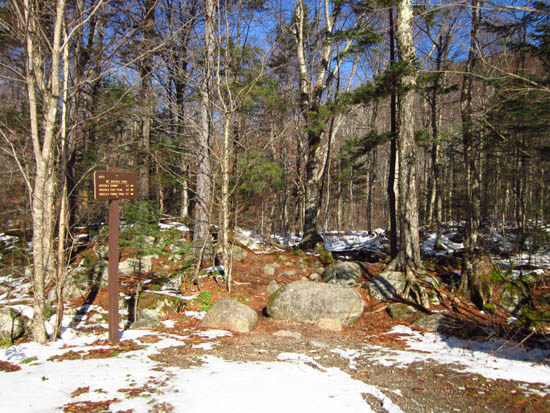
Mt. Osceola Trail trailhead at the Tripoli Road parking lot

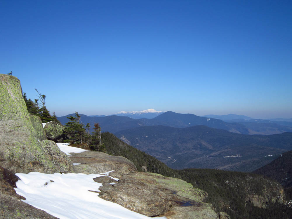
Looking at Mt. Washington from the Mt. Osceola ledges
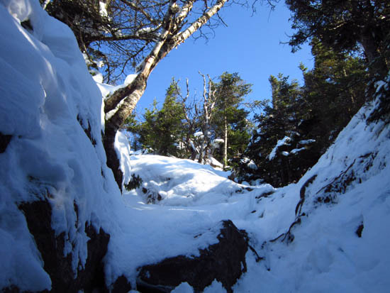
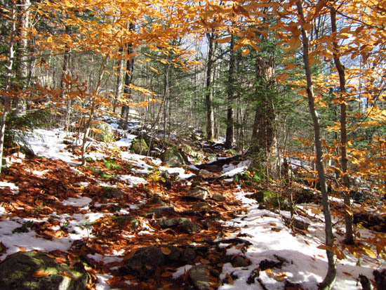
The Mt. Osceola Trail between Mt. Osceola and the East Peak
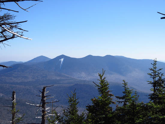
Looking at the Tripyramids from near the summit of the East Peak of Mt. Osceola
 ' '

Directions to trailhead: From Waterville Valley, take Tripoli Road (bear right at the entrance to the ski area) to the top of the gap. Just after the road turns from pavement from dirt, the Mt. Osceola WMNF fee parking lot appears on the right. The trailhead is located at the back of the parking lot.
Back to Mt. Osceola Profile
Back to Mt. Osceola (East Peak) Profile
|